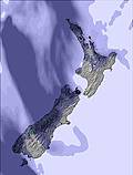
The snow forecast for Craigieburn is: Moderate rain (total 15.0mm), heaviest on Sun night. Mild temperatures (max 8°C on Sat night, min 5°C on Sun night). Winds increasing (fresh winds from the W on Sat morning, stormy winds from the NW by Sun night).
Craigieburn Weather (Next 3 days): The snow forecast for Craigieburn is: Moderate rain (total 15.0mm), heaviest on Sun night. Mild temperatures (max 8°C on Sat night, min 5°C on Sun night). Winds increasing (fresh winds from the W on Sat morning, stormy winds from the NW by Sun night).
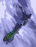
Craigieburn Weather (Days 4-6): Moderate rain (total 10.0mm), heaviest on Mon morning. Very mild (max 10°C on Tue afternoon, min 3°C on Wed night). Winds decreasing (strong winds from the WNW on Mon morning, light winds from the WNW by Wed night).
Craigieburn Live Weather
Resort
Snow Depth
Temp. (°C)
Wind (km/h)
Weather
Top Lift:
7
Middle Lift:
9
Bottom Lift:
12
Craigieburn Weather
(Next 3 days):
The snow forecast for Craigieburn is: Moderate rain (total 15.0mm), heaviest on Sun night. Mild temperatures (max 8°C on Sat night, min 5°C on Sun night). Winds increasing (fresh winds from the W on Sat morning, stormy winds from the NW by Sun night).
Craigieburn Weather (Days 4-6):
Moderate rain (total 10.0mm), heaviest on Mon morning. Very mild (max 10°C on Tue afternoon, min 3°C on Wed night). Winds decreasing (strong winds from the WNW on Mon morning, light winds from the WNW by Wed night).
Moderate rain (total 15.0mm), heaviest on Sun night. Mild temperatures (max 8°C on Sat night, min 5°C on Sun night). Winds increasing (fresh winds from the W on Sat morning, stormy winds from the NW by Sun night).
Next 4-6 days weather summary:
Moderate rain (total 10.0mm), heaviest on Mon morning. Very mild (max 10°C on Tue afternoon, min 3°C on Wed night). Winds decreasing (strong winds from the WNW on Mon morning, light winds from the WNW by Wed night).
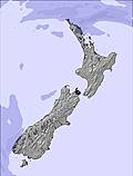
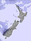
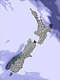
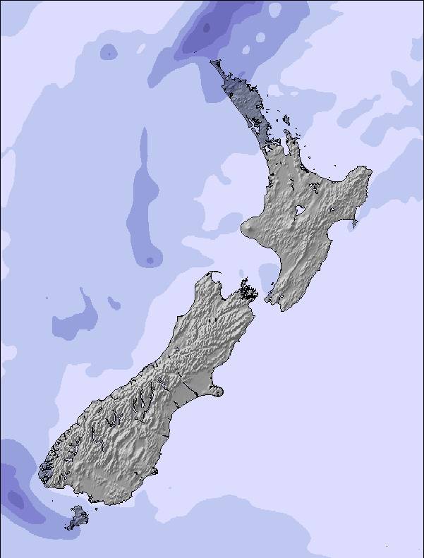
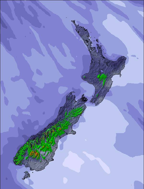
The above table gives the weather forecast for Craigieburn at the specific elevation of 1922 m. Our sophisticated weather models allow us to provide snow forecasts for the top, middle and bottom ski stations of Craigieburn. To access the weather forecasts for the other elevations, use the tab navigation above the table. For a wider view of the weather, check out the Weather Map of New Zealand.
Click here to read further information on freezing levels and how we forecast our temperatures.
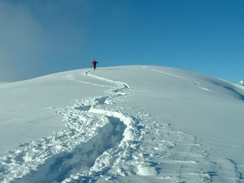
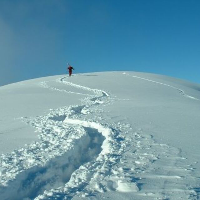
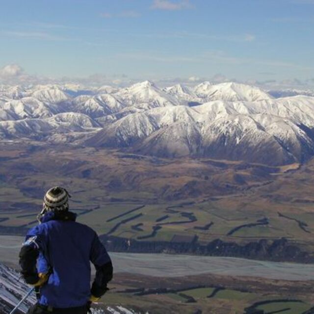
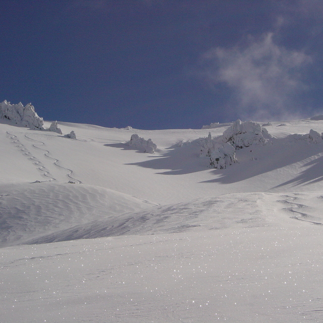
Craigieburn Valley, legendary among a surprisingly large minority of truly serious skiers and riders around the world, is the place where the staff from other local resorts come on their days off, where Northern Hemisphere extremists come in their offseason, and camera crews flock to shoot heroic lines. It's not always good, but when it is, there's nowhere better, short of iconic places like La Grave. When it's not good, it's usually still fun.
The trail map tells it all - most runs are advanced, with a significant number upgraded to 'tricky' (localtalk for triple black diamond) and the occasional 'suicidal'. And that's without going offpiste.
Although August is traditionally peak season, best snow and weather is often in September, and surprisingly often there is still lots in October.
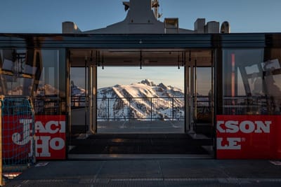
Lifts are 'appropriate technology' (rudimentary, quickly reinstated after an avalanche). Facilities are comfortable, verging on opulent by local standards, but basic as resorts worldwide go, except the high altitude daylodge, truly one of the jewels of alpine location and architecture -- at least, of anywhere I've been.
Craigieburn Valley, legendary among a surprisingly large minority of truly serious skiers and riders around the world, is the place where the staff from other local resorts come on their days off, where Northern Hemisphere extremists come in their offseason, and camera crews flock to shoot heroic lines. It's not always good, but when it is, there's nowhere better, short of iconic places like La Grave. When it's not good, it's usually still fun.
The trail map tells it all - most runs are advanced, with a significant number upgraded to 'tricky' (localtalk for triple black diamond) and the occasional 'suicidal'. And that's without going offpiste.
Although August is traditionally peak season, best snow and weather is often in September, and surprisingly often there is still lots in October.
Lifts are 'appropriate technology' (rudimentary, quickly reinstated after an avalanche). Facilities are comfortable, verging on opulent by local standards, but basic as resorts worldwide go, except the high altitude daylodge, truly one of the jewels of alpine location and architecture -- at least, of anywhere I've been.
Free Snow-Forecast.com weather widget for your website
Embed the Craigieburn weather widget on your site for free. It provides a weekly snapshot of snow and rain conditions across all elevations. Follow the two quick steps to grab your custom code and paste it into your site. Choose between metric or imperial units. Click here to get the code.


 Nearest