

Global Weekly Snow Roundup #318
Weekly Snow News for the world, updated 11 June 2026: Australia's season begins, Val d’Isère reopens and major snowfall is forecast for the Andes.

Next 3 days weather summary:Moderate rain (total 14.0mm), heaviest on Mon morning giving way to a moderate fall of snow, heaviest on Mon afternoon. Freeze-thaw conditions (max 5°C on Sun morning, min -2°C on Mon afternoon). Winds decreasing (strong winds from the NW on Sun night, calm by Mon night). | Days 4-6 weather summary:Mostly dry. Freeze-thaw conditions (max 2°C on Thu morning, min -2°C on Tue morning). Winds decreasing (fresh winds from the WNW on Tue night, calm by Wed night). | |||||||||||||||||
Saturday 13 | Sunday 14 | Monday 15 | Tuesday 16 | Wednesday 17 | Thursday 18 | |||||||||||||
AM | PM | night | AM | PM | night | AM | PM | night | AM | PM | night | AM | PM | night | AM | PM | night | |
rain shwrs | some clouds | some clouds | some clouds | some clouds | light rain | mod. rain | heavy snow | light snow | snow shwrs | clear | snow shwrs | some clouds | clear | clear | clear | clear | clear | |
km/h | ||||||||||||||||||
Snow map | 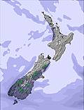 | 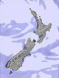 | 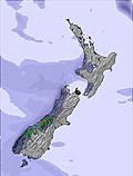 |  |  |  | ||||||||||||
— | — | — | — | — | — | — | 12 | 3 | — | — | — | — | — | — | — | — | — | |
1 | — | — | — | — | 4 | 9 | — | — | — | — | — | — | — | — | — | — | — | |
max °C | 4 | 4 | 4 | 5 | 4 | 4 | 3 | 0 | -2 | 0 | 0 | 0 | -1 | 0 | 1 | 2 | 2 | 2 |
min °C | 3 | 3 | 3 | 5 | 4 | 4 | 2 | -2 | -2 | -2 | -1 | -1 | -1 | 0 | 0 | 1 | 2 | 1 |
0 | 0 | 0 | 1 | -1 | -2 | 1 | -5 | -5 | -2 | -6 | -6 | -6 | 0 | 0 | 1 | 2 | 0 | |
89 | 84 | 76 | 63 | 66 | 87 | 98 | 100 | 97 | 85 | 73 | 62 | 74 | 75 | 68 | 67 | 69 | 79 | |
2200 | 2600 | 3200 | 3400 | 3100 | 2600 | 2300 | 1550 | 1350 | 1300 | 1700 | 1700 | 1300 | 1600 | 1750 | 1950 | 2100 | 1900 | |
8:02 | — | — | 8:02 | — | — | 8:02 | — | — | 8:03 | — | — | 8:03 | — | — | 8:03 | — | — | |
— | 5:02 | — | — | 5:02 | — | — | 5:02 | — | — | 5:02 | — | — | 5:02 | — | — | 5:04 | — | |
Go pro and carve into:
Avalanche information: New Zealand Avalanche Advisory
Latest snow reports near Craigieburn:
| Top snow depth: | — |
|---|---|
| Bottom snow depth: | — |
| Fresh snowfall depth: | — |
| Last snowfall: | 6 Jun 2026 |
| Snow Alerts | Create Alert |
0.5 | Bluebird Powder days Fresh snow, mostly sunny, light wind. |
|---|---|
0.5 | Powder days Fresh snow, limited sun, any wind. |
0.5 | Bluebird days Average snow, mostly sunny, light wind. |
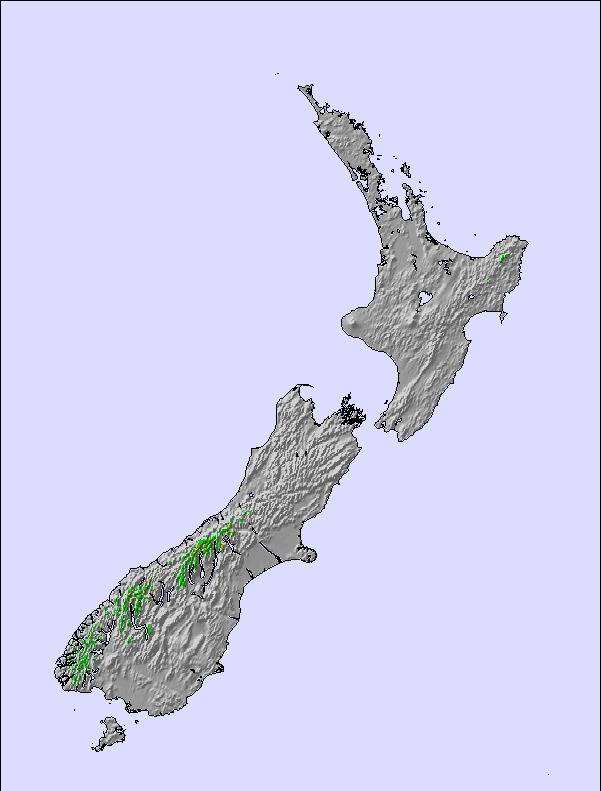
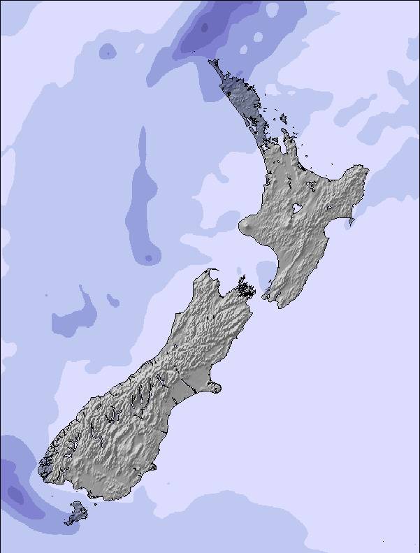
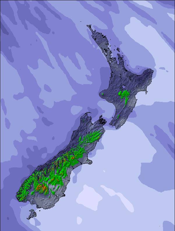
The above table gives the weather forecast for Craigieburn at the specific elevation of 1672 m. Our sophisticated weather models allow us to provide snow forecasts for the top, middle and bottom ski stations of Craigieburn. To access the weather forecasts for the other elevations, use the tab navigation above the table. For a wider view of the weather, check out the Weather Map of New Zealand.
Click here to read further information on freezing levels and how we forecast our temperatures.
Overall 3.2 Based on 8 votes and 3 reviews
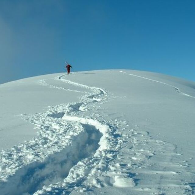
Hi Snow-Forecast team, you have a great site and we use it often. As some more information, Craigieburn and Broken River ski areas are next door neighbours!! It's an easy ski over to Broken River from Hamilton Col at Craigieburn (5/10 minutes, depending on conditions) and a 1/2-1hour walk (once again, depending on conditions) back along the ridge line from Broken River to Craigieburn. So in essence, Craigieburn and Broken River are the closest resorts to each other!! In fact on a topo map our main lifts are 2km apart!! Hope this is of some use.
Nick Jarman from New Zealand writes:
Hi Snow-Forecast team, you have a great site and we use it often.
As some more information, Craigieburn and Broken River ski areas are next door neighbours!! It's an easy ski over to Broken River from Hamilton Col at Craigieburn (5/10 minutes, depending on conditions) and a 1/2-1hour walk (once again, depending on conditions) back along the ridge line from Broken River to Craigieburn. So in essence, Craigieburn and Broken River are the closest resorts to each other!! In fact on a topo map our main lifts are 2km apart!!
Hope this is of some use.

 Nearest