
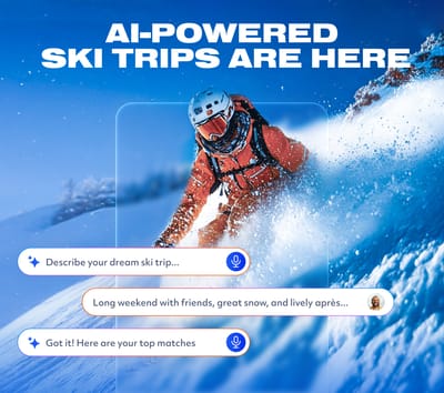
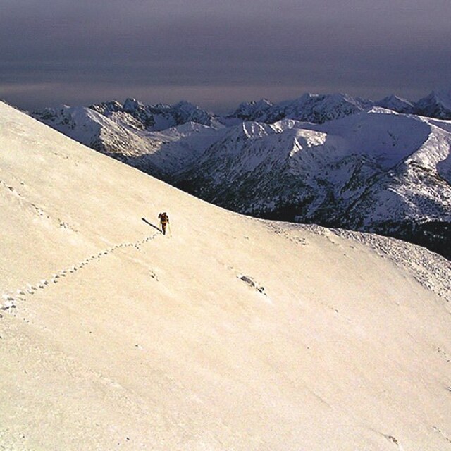
Is AI About to Change How We Plan Ski Trips?
Meet WeSki.ai - the new AI-powered trip planner from the ski experts at WeSki that turns your ideas into a fully planned ski trip in seconds, simply by describing what you want.

Next 3 days weather summary:Moderate rain (total 17.0mm), heaviest on Thu night. Very mild (max 10°C on Tue afternoon, min 2°C on Thu night). Winds decreasing (strong winds from the SSW on Tue night, light winds from the SSW by Thu night). | Days 4-6 weather summary:Light rain (total 4.0mm) at first, then becoming colder with a dusting of snow on Sun morning. Mild temperatures (max 7°C on Mon morning, min 2°C on Sat morning). Winds increasing (light winds from the W on Fri night, fresh winds from the SSW by Mon morning). | ||||||||||||||||
Tue 5 | Wednesday 6 | Thursday 7 | Friday 8 | Saturday 9 | Sunday 10 | ||||||||||||
PM | night | AM | PM | night | AM | PM | night | AM | PM | night | AM | PM | night | AM | PM | night | |
some clouds | some clouds | cloudy | some clouds | light rain | cloudy | light rain | rain shwrs | clear | some clouds | light rain | some clouds | some clouds | cloudy | light snow | light snow | some clouds | |
km/h | |||||||||||||||||
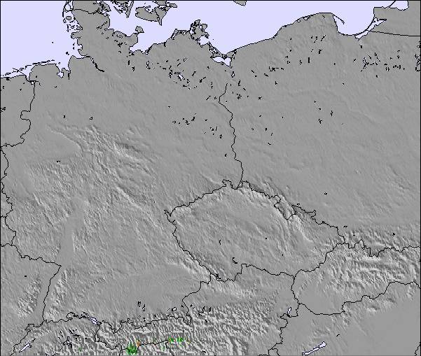
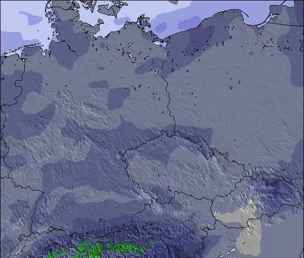
Snow map |  |  | 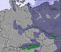 | 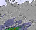 | 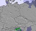 | 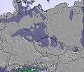 | |||||||||||
— | — | — | — | — | — | — | — | — | — | — | — | — | — | 3 | 1 | — | |
— | — | — | — | 2 | — | 2 | 13 | — | — | 1 | — | — | — | 2 | 1 | — | |
max °C | 10 | 8 | 4 | 6 | 6 | 6 | 7 | 5 | 5 | 6 | 4 | 4 | 4 | 3 | 2 | 2 | 6 |
min °C | 9 | 6 | 4 | 6 | 6 | 6 | 6 | 2 | 3 | 6 | 3 | 2 | 4 | 3 | 2 | 2 | 3 |
5 | 1 | -1 | 2 | 2 | 3 | 4 | -2 | -1 | 4 | 1 | -1 | 2 | 1 | 0 | -1 | 0 | |
32 | 59 | 87 | 72 | 77 | 68 | 78 | 98 | 63 | 63 | 70 | 59 | 72 | 71 | 96 | 89 | 39 | |
3250 | 3100 | 2900 | 2900 | 2950 | 2900 | 2800 | 2400 | 2600 | 2700 | 2550 | 2550 | 2550 | 2450 | 2300 | 2350 | 2850 | |
— | — | 5:11 | — | — | 5:09 | — | — | 5:07 | — | — | 5:05 | — | — | 5:03 | — | — | |
— | 8:00 | — | — | 8:02 | — | — | 8:04 | — | — | 8:06 | — | — | 8:07 | — | — | 8:08 | |
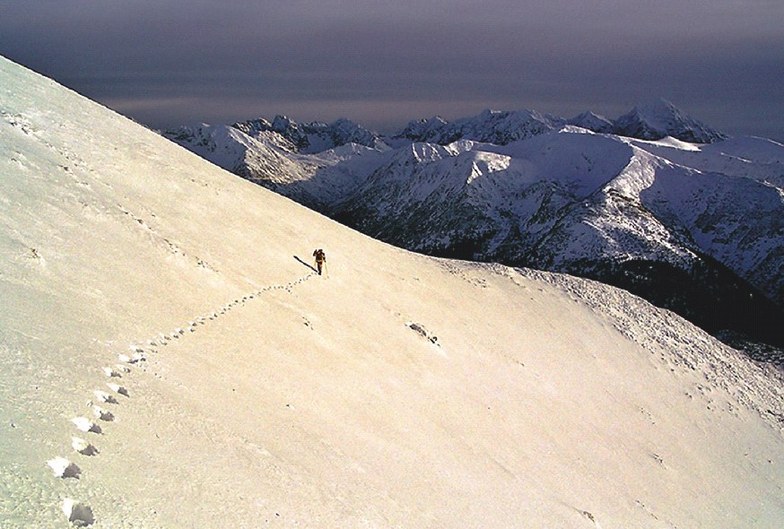
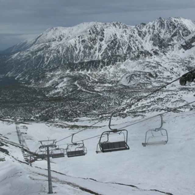
Latest snow reports near Zakopane:
| Top snow depth: | 0 cm |
|---|---|
| Bottom snow depth: | 0 cm |
| Fresh snowfall depth: | — |
| Last snowfall: | 26 Apr 2026 |
| Snow Alerts | Create Alert |
0.0 | Bluebird Powder days Fresh snow, mostly sunny, light wind. |
|---|---|
0.6 | Powder days Fresh snow, limited sun, any wind. |
0.1 | Bluebird days Average snow, mostly sunny, light wind. |

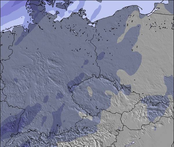
The above table gives the weather forecast for Zakopane at the specific elevation of 1960 m. Our sophisticated weather models allow us to provide snow forecasts for the top, middle and bottom ski stations of Zakopane. To access the weather forecasts for the other elevations, use the tab navigation above the table. For a wider view of the weather, check out the Weather Map of Poland.
Click here to read further information on freezing levels and how we forecast our temperatures.
Overall 4.0 Based on 17 votes and 25 reviews
We have been to Zakopane three times for skiing. The first time was a good few years ago. But latterly, Christmas/New Year 14/15 and 15/16. Snow was a bit hit and miss. But with the snow machines running, there was enough for us. We are not experienced skiers, and don't need black runs. We are returning again. But this time will be in March 2017, when we hope there will have been more time for the snow to fall and settle. We will wait and see. :) But we love it there. We tend to go to Szymoszkowa, and at times the bottom ski lift can be busy. We hire our skis and boots on an hourly basis and there are several ski hire cabins very close to the ski lift; so very easy. We love it there. As some other posters have said, really it would be nice if the place stayed less touristy and unspoilt.
Kathy Janio from United Kingdom writes:
We have been to Zakopane three times for skiing. The first time was a good few years ago. But latterly, Christmas/New Year 14/15 and 15/16. Snow was a bit hit and miss. But with the snow machines running, there was enough for us. We are not experienced skiers, and don't need black runs. We are returning again. But this time will be in March 2017, when we hope there will have been more time for the snow to fall and settle. We will wait and see. :) But we love it there. We tend to go to Szymoszkowa, and at times the bottom ski lift can be busy. We hire our skis and boots on an hourly basis and there are several ski hire cabins very close to the ski lift; so very easy. We love it there. As some other posters have said, really it would be nice if the place stayed less touristy and unspoilt.


 Nearest