

Niseko Announce New Gondola
Niseko Village has confirmed a major lift expansion that will reshape access on the southern side of the Niseko United ski area, with a new gondola scheduled to open next winter and a second stage planned for 2027–28.

Next 3 days weather summary:Moderate rain (total 15.0mm), heaviest on Wed night. Warm (max 27°C on Wed morning, min 8°C on Fri night). Wind will be generally light. | Days 4-6 weather summary:Heavy rain (total 22.0mm), heaviest during Sun afternoon. Very mild (max 16°C on Sun afternoon, min 7°C on Mon night). Wind will be generally light. | |||||||||||||||||
Wednesday 1 | Thursday 2 | Friday 3 | Saturday 4 | Sunday 5 | Monday 6 | |||||||||||||
AM | PM | night | AM | PM | night | AM | PM | night | AM | PM | night | AM | PM | night | AM | PM | night | |
some clouds | t-storm risk | mod. rain | light rain | cloudy | clear | rain shwrs | rain shwrs | some clouds | rain shwrs | cloudy | clear | light rain | mod. rain | rain shwrs | mod. rain | rain shwrs | rain shwrs | |
km/h | ||||||||||||||||||
Snow map | 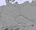 | 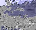 | 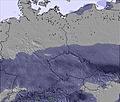 | 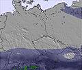 | 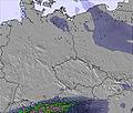 | 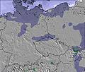 | ||||||||||||
— | — | — | — | — | — | — | — | — | — | — | — | — | — | — | — | — | — | |
mm | — | 2 | 8 | 2 | — | — | 1 | 2 | — | 1 | — | — | 1 | 7 | 2 | 6 | 4 | 1 |
max °C | 27 | 25 | 15 | 13 | 14 | 13 | 15 | 14 | 11 | 11 | 14 | 11 | 15 | 16 | 12 | 12 | 14 | 11 |
min °C | 24 | 24 | 14 | 13 | 13 | 11 | 14 | 14 | 8 | 9 | 13 | 8 | 13 | 12 | 11 | 11 | 12 | 7 |
chill °C | 24 | 24 | 13 | 12 | 12 | 10 | 13 | 13 | 5 | 7 | 12 | 6 | 12 | 10 | 10 | 9 | 11 | 6 |
Humid % | 34 | 48 | 93 | 98 | 93 | 71 | 88 | 67 | 89 | 76 | 58 | 75 | 77 | 89 | 83 | 98 | 73 | 75 |
Freeze m | 4250 | 4300 | 4050 | 3950 | 3950 | 3650 | 3250 | 3450 | 2850 | 2750 | 2800 | 3000 | 3100 | 3150 | 3300 | 3000 | 3300 | 3400 |
4:37 | — | — | 4:37 | — | — | 4:39 | — | — | 4:39 | — | — | 4:39 | — | — | 4:41 | — | — | |
— | — | 8:49 | — | — | 8:49 | — | — | 8:47 | — | — | 8:47 | — | — | 8:46 | — | — | 8:46 | |
Go pro and carve into:
Avalanche information: European Avalanche Warning Services (EAWS)
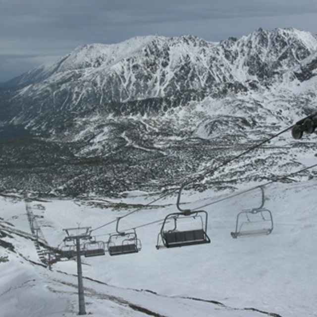
Latest snow reports near Zakopane:
| Top snow depth: | 0 cm |
|---|---|
| Bottom snow depth: | 0 cm |
| Fresh snowfall depth: | — |
| Last snowfall: | 17 May 2026 |
| Snow Alerts | Create Alert |
0.0 | Bluebird Powder days Fresh snow, mostly sunny, light wind. |
|---|---|
0.0 | Powder days Fresh snow, limited sun, any wind. |
0.0 | Bluebird days Average snow, mostly sunny, light wind. |

The above table gives the weather forecast for Zakopane at the specific elevation of 1031 m. Our sophisticated weather models allow us to provide snow forecasts for the top, middle and bottom ski stations of Zakopane. To access the weather forecasts for the other elevations, use the tab navigation above the table. For a wider view of the weather, check out the Weather Map of Poland.
Click here to read further information on freezing levels and how we forecast our temperatures.
Overall 4.0 Based on 17 votes and 25 reviews
We just had a family ski holiday to Zakopane and went with Sunshine World. I must admit, we were sceptical about the conditions and runs, but were so pleasantly surprised. The runs were managed so well and because it isn’t a very well-known area, by us Brits, there were no queues at the lifts. We loved the long blue at the back and the stops for warm beer were nice too. It’s great to see that they are making the place even better with two new lifts (not opened when we were there). There was plenty of snow and the runs were clean and wide, giving us newbies a better chance of not hitting anyone, haha. Sunshine World really made it for us, they organised everything for us, were completely professional and made it fun for us and our little ones. We loved being on the slopes and will definitely book with these guys for next year’s holiday.
Henry Wakeman from United Kingdom writes:
We just had a family ski holiday to Zakopane and went with Sunshine World. I must admit, we were sceptical about the conditions and runs, but were so pleasantly surprised. The runs were managed so well and because it isn’t a very well-known area, by us Brits, there were no queues at the lifts. We loved the long blue at the back and the stops for warm beer were nice too. It’s great to see that they are making the place even better with two new lifts (not opened when we were there). There was plenty of snow and the runs were clean and wide, giving us newbies a better chance of not hitting anyone, haha. Sunshine World really made it for us, they organised everything for us, were completely professional and made it fun for us and our little ones. We loved being on the slopes and will definitely book with these guys for next year’s holiday.


 Nearest