

Protect Our Winters Launches Campaign for the International Year of Glacier Preservation
Glaciers are disappearing at an alarming rate. Following 2024, the hottest year on record, urgent action is needed to protect the world’s frozen water towers.
Please sign in with your Snow-Forecast account details below.
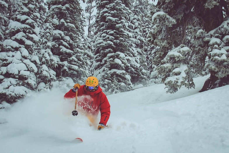

Showdown Ski Area Weather (Next 3 days): The snow forecast for Showdown Ski Area is: A heavy fall of snow, heaviest during Tue afternoon. Temperatures will be below freezing (max -2°C on Mon afternoon, min -8°C on Tue night). Winds increasing (light winds from the S on Sun night, fresh winds from the WNW by Tue morning).
Showdown Ski Area Weather (Days 4-6): A dusting of new snow. Temperatures will be below freezing (max 0°C on Sat afternoon, min -10°C on Thu night). Wind will be generally light.
| Resort | Snow Depth | Temp. (°C) | Wind (km/h) | Weather | ||
|---|---|---|---|---|---|---|
| Top Lift: | 1.6 m | -7 | ||||
| Middle Lift: | -7 | |||||
| Bottom Lift: | 1.1 m | -8 |
Latest snow reports near Showdown Ski Area:

Monday 31 | Tuesday 1 | Wednesday 2 | Thursday 3 | Friday 4 | Saturday 5 | ||||||||||||||
night | AM | PM | night | AM | PM | night | AM | PM | night | AM | PM | night | AM | PM | night | AM | PM | night | |
light snow | some clouds | snow shwrs | light snow | mod. snow | heavy snow | heavy snow | light snow | snow shwrs | some clouds | light snow | light snow | light snow | some clouds | light snow | some clouds | some clouds | some clouds | some clouds | |
km/h | |||||||||||||||||||
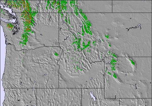
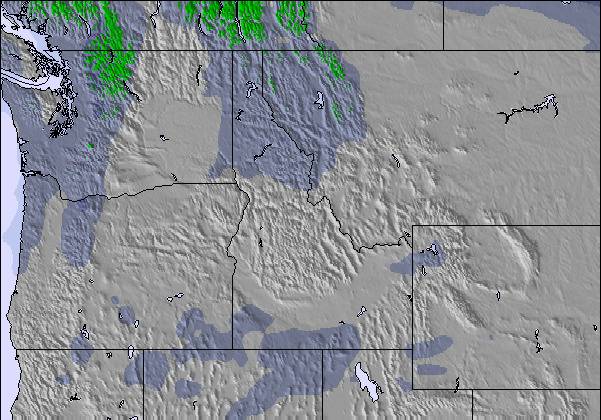
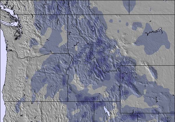
Snow map |  | 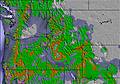 |  |  |  | 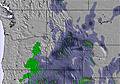 | 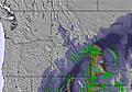 | ||||||||||||
— | — | 1.0 | 1.0 | 9 | 12 | 15 | 2.0 | — | — | 1.0 | 2.0 | 1.0 | — | — | — | — | — | — | |
— | — | — | — | — | — | — | — | — | — | — | — | — | — | — | — | — | — | — | |
max°C | -6 | -4 | -2 | -3 | -7 | -7 | -7 | -8 | -7 | -8 | -7 | -7 | -8 | -7 | -5 | -7 | -2 | 0 | -1 |
min°C | -7 | -4 | -3 | -6 | -7 | -7 | -8 | -8 | -7 | -9 | -7 | -7 | -10 | -8 | -6 | -8 | -4 | 0 | -2 |
-10 | -12 | -9 | -14 | -16 | -15 | -16 | -15 | -12 | -13 | -10 | -7 | -10 | -8 | -9 | -14 | -9 | -4 | -7 | |
74 | 81 | 81 | 93 | 96 | 95 | 96 | 96 | 96 | 88 | 94 | 92 | 90 | 74 | 80 | 58 | 57 | 47 | 44 | |
700 | 1650 | 2150 | 1450 | 1450 | 1500 | 1350 | 1350 | 1550 | 650 | 1400 | 1650 | 950 | 1250 | 1750 | 850 | 1850 | 2450 | 1500 | |
— | 7:03 | — | — | 7:01 | — | — | 7:00 | — | — | 6:58 | — | — | 6:56 | — | — | 6:54 | — | — | |
— | — | 7:50 | — | — | 7:51 | — | — | 7:52 | — | — | 7:53 | — | — | 7:54 | — | — | 7:57 | — | |
A heavy fall of snow, heaviest during Tue afternoon. Temperatures will be below freezing (max -2°C on Mon afternoon, min -8°C on Tue night). Winds increasing (light winds from the S on Sun night, fresh winds from the WNW by Tue morning).
A dusting of new snow. Temperatures will be below freezing (max 0°C on Sat afternoon, min -10°C on Thu night). Wind will be generally light.
Latest snow reports near Showdown Ski Area:
| Top snow depth: | 160 cm |
|---|---|
| Bottom snow depth: | 107 cm |
| Fresh snowfall depth: | 10 cm |
| Last snowfall: | 29 Mar 2025 |
| Snow Alerts | Create Alert |
0.6 | Bluebird Powder days Fresh snow, mostly sunny, light wind. |
|---|---|
2.5 | Powder days Fresh snow, limited sun, any wind. |
0.9 | Bluebird days Average snow, mostly sunny, light wind. |
The above table gives the weather forecast for Showdown Ski Area at the specific elevation of 2500 m. Our sophisticated weather models allow us to provide snow forecasts for the top, middle and bottom ski stations of Showdown Ski Area. To access the weather forecasts for the other elevations, use the tab navigation above the table. For a wider view of the weather, check out the Weather Map of United States.
Click here to read further information on freezing levels and how we forecast our temperatures.
The Showdown Ski Area skiing weather widget is available to embed on external websites free of charge. It provides a daily summary of our Showdown Ski Area snow forecast and current weather conditions. Simply go to the feed configuration page and follow the 3 simple steps to grab the custom html code snippet and paste it into your own site. You can choose the snow forecast elevation (summit, mid-mountain or bottom lift) and metric/imperial units for the snow forecast feed to suit your own website…. Click here to get the code.
View detailed snow forecast for Showdown Ski Area at:
snow-forecast.com

 Nearest