The above table gives the weather forecast for Rusutsu Resort at the specific elevation of 794 m. Our sophisticated weather models allow us to provide snow forecasts for the top, middle and bottom ski stations of Rusutsu Resort. To access the weather forecasts for the other elevations, use the tab navigation above the table. For a wider view of the weather, check out the Weather Map of Japan.
Click here to read further information on freezing levels and how we forecast our temperatures.
Love this place.
If you want a party atmosphere go to Niseko. We just came from there...
If you want less lines, more piste and off-piste to yourself, no attitude when going under the orange rope from crew, check this place out.
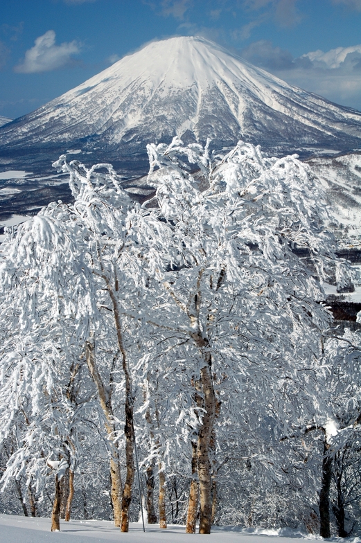
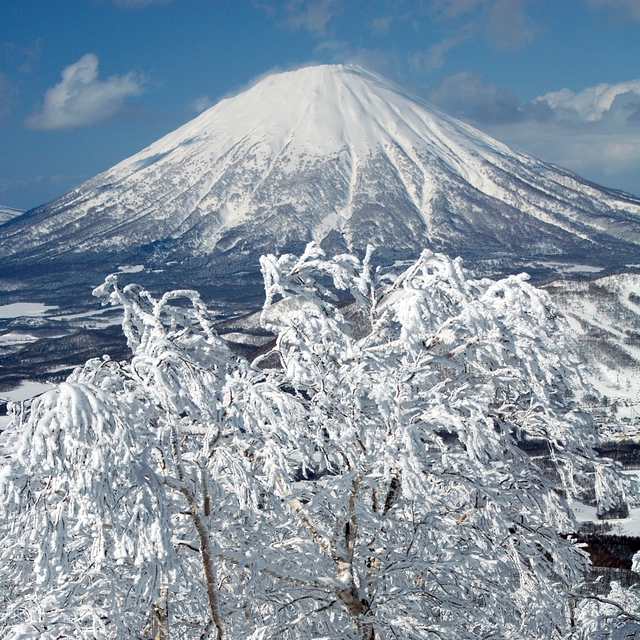
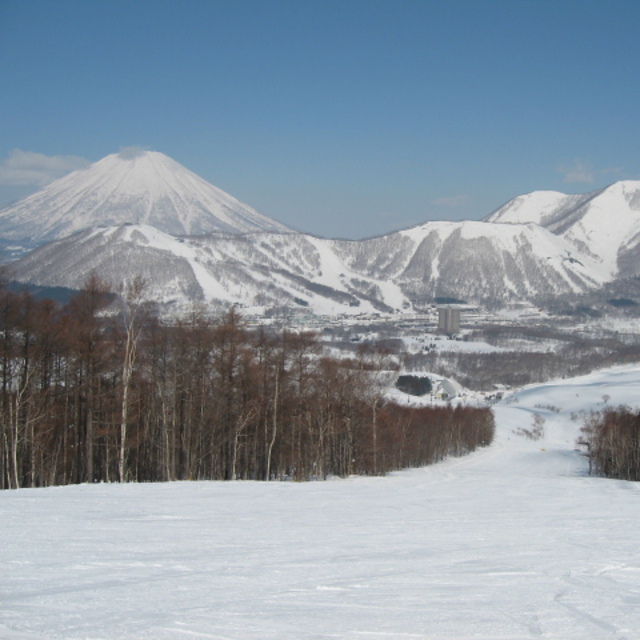
Lift ticket works out to be $50 AUD a day. Once you get it head straight to Mt Isola and ride it until you get bored. Mt Isola is the signature on piste run, but to be honest it's all about the tree runs.
Reds are pretty tame for an intermediate boarders/skiers, blacks are very short.
If you have lots of money stay at the resort. If not, there are a few (but not ample) places to stay within a 10 minute walk.
Make sure you check out the row of little restaurants right next to the hotel, you'll save stacks of money and eat great food. Pirate man was our favourite.
If you wanted a holiday without Aussies, choose another location, Australians are everywhere!
Enjoy but don't tell your mates.
Love this place.
If you want a party atmosphere go to Niseko. We just came from there...
If you want less lines, more piste and off-piste to yourself, no attitude when going under the orange rope from crew, check this place out.
Lift ticket works out to be $50 AUD a day. Once you get it head straight to Mt Isola and ride it until you get bored. Mt Isola is the signature on piste run, but to be honest it's all about the tree runs.
Reds are pretty tame for an intermediate boarders/skiers, blacks are very short.
If you have lots of money stay at the resort. If not, there are a few (but not ample) places to stay within a 10 minute walk.
Make sure you check out the row of little restaurants right next to the hotel, you'll save stacks of money and eat great food. Pirate man was our favourite.
If you wanted a holiday without Aussies, choose another location, Australians are everywhere!
Enjoy but don't tell your mates.
Free Snow-Forecast.com weather widget for your website
Embed the Rusutsu Resort weather widget on your site for free. It provides a weekly snapshot of snow and rain conditions across all elevations. Follow the two quick steps to grab your custom code and paste it into your site. Choose between metric or imperial units. Click here to get the code.


 Nearest