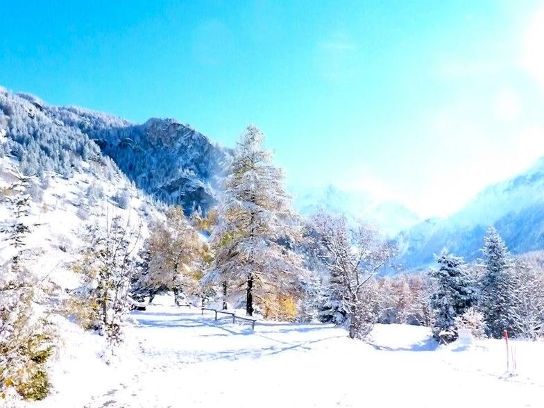
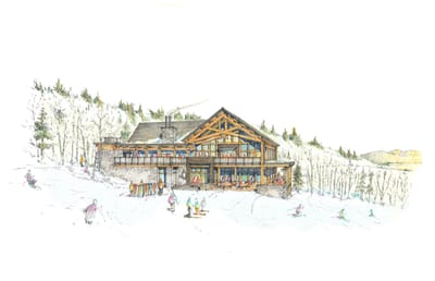
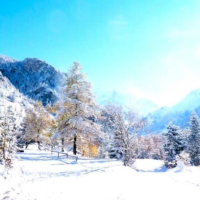
Peisey/Vallandry snow
Ski France

Peisey/Vallandry Snow Forecast

Weather Forecast for Peisey/Vallandry at 1851 m
Issued: 1 pm  06 May 2025 (local time)

New snow in Peisey/Vallandry

5.0cm2.0in
Tue 6th (NGT)
The snow forecast for Peisey/Vallandry is: A moderate fall of snow, heaviest on Wed morning. Turning milder with moderate rain (total 15.0mm), heaviest on Wed morning. Mild temperatures (max 5°C on Tue afternoon, min 1°C on Wed morning). Wind will be generally light.

Peisey/Vallandry Weather (Next 3 days): The snow forecast for Peisey/Vallandry is: A moderate fall of snow, heaviest on Wed morning. Turning milder with moderate rain (total 15.0mm), heaviest on Wed morning. Mild temperatures (max 5°C on Tue afternoon, min 1°C on Wed morning). Wind will be generally light.

Peisey/Vallandry Weather (Days 4-6): Heavy rain (total 28.0mm), heaviest during Fri afternoon. Mild temperatures (max 9°C on Sun afternoon, min 2°C on Fri night). Wind will be generally light.


Peisey/Vallandry Live Weather

ResortSnow DepthTemp. (°F)Wind (mph)Weather
Top Lift: 
34
0
light snow
Middle Lift: 
39
0
light rain
Bottom Lift: 
43
5
light rain
Powered by Snow-Forecast.comSnow-Forecast.com
6 Day Forecast
Issued: 1 pm 06 May 2025 / Updates in 02:08:40
Change Forecast Height
Choose Forecast
Last 6 daysScroll left for last 6 daysNow
Tue
6
Wednesday
7
Thursday
8
Friday
9
Saturday
10
Sunday
11
Monday
12
PM
night
AM
PM
night
AM
PM
night
AM
PM
night
AM
PM
night
AM
PM
night
AM
PM
night
light rain
light rain
light snow
mod snow
light snow
part cloud
light rain
rain showers
part cloud
thunderstorm
rain showers
clear
thunderstorm
rain showers
part cloud
thunderstorm
rain showers
light rain
rain showers
light rain
light rain
light rain
light snow
mod. snow
light snow
some clouds
light rain
rain shwrs
some clouds
risk thun- der
rain shwrs
clear
risk thun- der
rain shwrs
some clouds
risk thun- der
rain shwrs
light rain
rain shwrs
light rain
 mph
0
NW
0
E
5
WNW
5
NW
0
S
0
SW
5
WNW
0
ESE
0
SW
0
WNW
5
ESE
0
WNW
5
W
5
SE
0
WNW
5
WNW
5
ESE
0
NW
0
W
5
SE
Snow map
 in 
2
2
 in 
0.08
0.2
0.2
0.08
0.04
0.2
0.2
0.2
0.2
0.2
0.2
0.04
0.2
0.2
max°F
41
39
36
36
34
36
37
36
39
43
41
45
46
43
46
48
46
46
48
46
min°F
39
36
34
36
34
34
37
34
36
41
36
39
46
39
41
48
41
43
46
41
chill°F 
39
36
34
36
34
34
37
34
36
41
32
39
46
37
41
48
39
43
46
41
Humid% 
98
98
99
99
95
91
96
88
80
80
90
68
71
85
70
72
80
74
72
81
Freezing level (ft
8400
7500
7200
6900
6400
7100
7700
6900
7700
8500
7400
8700
9400
8700
9200
10000
9000
9200
9800
9000
topliftbotliftSea lvl3000ft6000ft9000ft12000ft15000ft
34322928282831293134323438353740373740374642403938414540445041475545515547525548
Sunrise
6:13
6:11
6:09
6:09
6:07
6:05
Sunset
8:45
8:45
8:46
8:49
8:50
8:51
8:52

Snow Radar

Latest snow reports near Peisey/Vallandry:

No recent snow reports

No recent snow reports

Peisey/Vallandry Snow Conditions

Top snow depth:
Bottom snow depth:
Fresh snowfall depth:
Last snowfall:23 Apr 2025
Snow AlertsCreate Alert
Other resorts in France are reporting: powder (0) / good piste (0)

Snow-Forecast Partner Offers

Snow History

Week 1 of May has on average:
0.0
Bluebird Powder days
Fresh snow, mostly sunny, light wind.
0.4
Powder days
Fresh snow, limited sun, any wind.
0.0
Bluebird days
Average snow, mostly sunny, light wind.


Snow-Forecast Partner Offers