

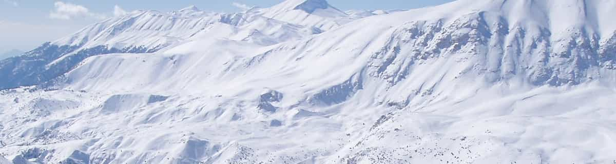
Massive Snowfall in the Alps
A huge snowfall is underway in the Alps, by far the biggest of the 24-25 season.
Please sign in with your Snow-Forecast account details below.


Notre Dame de Bellecombe Weather (Next 3 days): The snow forecast for Notre Dame de Bellecombe is: Moderate rain (total 10.0mm), heaviest on Sun afternoon. Very mild (max 13°C on Sat afternoon, min 3°C on Sun night). Wind will be generally light.
Notre Dame de Bellecombe Weather (Days 4-6): Moderate rain (total 12.0mm), heaviest on Tue afternoon. Very mild (max 12°C on Tue afternoon, min 5°C on Wed night). Wind will be generally light.
| Resort | Snow Depth | Temp. (°C) | Wind (km/h) | Weather | ||
|---|---|---|---|---|---|---|
| Top Lift: | 2 | |||||
| Middle Lift: | 4 | |||||
| Bottom Lift: | 4 |
Latest snow reports near Notre Dame de Bellecombe:
Great conditions for this time of year. Light clouds dotting the sky. from Val Thorens
Continuous light rain reported from Chambéry Aix-les-Bains Airport at 235 metres elevation 9 kms SW of Le Mont Revard but it is forecast cold enough for snow at higher elevations in the ski area from Le Mont Revard

Saturday 19 | Sunday 20 | Monday 21 | Tuesday 22 | Wednesday 23 | Thursday 24 | Friday 25 | |||||||||||||||
AM | PM | night | AM | PM | night | AM | PM | night | AM | PM | night | AM | PM | night | AM | PM | night | AM | PM | night | |
some clouds | some clouds | some clouds | light rain | light rain | light rain | some clouds | some clouds | some clouds | some clouds | light rain | light rain | light rain | light rain | rain shwrs | cloudy | rain shwrs | some clouds | some clouds | some clouds | some clouds | |
km/h | |||||||||||||||||||||
Snow map |  |  |  |  |  |  |  | ||||||||||||||
— | — | — | — | — | — | — | — | — | — | — | — | — | — | — | — | — | — | — | — | — | |
— | — | — | 3 | 4 | 3 | — | — | — | — | 1.0 | 4 | 2.0 | 2.0 | 2.0 | — | 1.0 | — | — | — | — | |
max°C | 11 | 13 | 8 | 6 | 7 | 6 | 8 | 11 | 8 | 11 | 12 | 8 | 8 | 10 | 8 | 8 | 11 | 8 | 11 | 12 | 9 |
min°C | 4 | 12 | 4 | 4 | 7 | 3 | 4 | 11 | 5 | 6 | 12 | 7 | 7 | 9 | 5 | 5 | 10 | 5 | 6 | 11 | 5 |
2 | 11 | 2 | 3 | 7 | 2 | 4 | 11 | 5 | 6 | 12 | 7 | 7 | 9 | 5 | 5 | 9 | 5 | 6 | 11 | 5 | |
65 | 60 | 73 | 94 | 87 | 83 | 70 | 57 | 86 | 69 | 69 | 97 | 95 | 83 | 88 | 83 | 61 | 83 | 68 | 60 | 75 | |
2800 | 2700 | 2450 | 2050 | 2250 | 2000 | 2250 | 2450 | 2400 | 2650 | 2700 | 2400 | 2300 | 2600 | 2400 | 2200 | 2450 | 2300 | 2550 | 2600 | 2650 | |
6:41 | — | — | 6:39 | — | — | 6:39 | — | — | 6:37 | — | — | 6:35 | — | — | 6:33 | — | — | 6:31 | — | — | |
— | — | 8:24 | — | — | 8:25 | — | — | 8:27 | — | — | 8:29 | — | — | 8:30 | — | — | 8:30 | — | — | 8:31 | |
Moderate rain (total 10.0mm), heaviest on Sun afternoon. Very mild (max 13°C on Sat afternoon, min 3°C on Sun night). Wind will be generally light.
Moderate rain (total 12.0mm), heaviest on Tue afternoon. Very mild (max 12°C on Tue afternoon, min 5°C on Wed night). Wind will be generally light.
Latest snow reports near Notre Dame de Bellecombe:
Great conditions for this time of year. Light clouds dotting the sky. from Val Thorens
Continuous light rain reported from Chambéry Aix-les-Bains Airport at 235 metres elevation 9 kms SW of Le Mont Revard but it is forecast cold enough for snow at higher elevations in the ski area from Le Mont Revard
| Top snow depth: | — |
|---|---|
| Bottom snow depth: | — |
| Fresh snowfall depth: | 44 cm |
| Last snowfall: | 17 Apr 2025 |
| Snow Alerts | Create Alert |
0.0 | Bluebird Powder days Fresh snow, mostly sunny, light wind. |
|---|---|
0.1 | Powder days Fresh snow, limited sun, any wind. |
0.0 | Bluebird days Average snow, mostly sunny, light wind. |
The above table gives the weather forecast for Notre Dame de Bellecombe at the specific elevation of 1151 m. Our sophisticated weather models allow us to provide snow forecasts for the top, middle and bottom ski stations of Notre Dame de Bellecombe. To access the weather forecasts for the other elevations, use the tab navigation above the table. For a wider view of the weather, check out the Weather Map of France.
Click here to read further information on freezing levels and how we forecast our temperatures.
Overall 3.8 Based on 8 votes and 8 reviews
I have been going to "the Village" for at least 20 years in both summer & winter and it's a truly magical place. From the early days where all the shops were owned & run by village families & English was not spoken at all through to today where English is spoken just about everywhere. The charm has remained the same over the years despite it getting more commercial by the season. I for one hope nobody else goes there because all who do fall in love with the place. the best part for skiers for the most part is (what is now the vast skiing area of Espace Diamant) covers plenty of different skiing areas covered by one pass and virtually no waiting at any of the lifts. As I said, if you have not been there before - please give it a miss.
Tom fahy from United Kingdom writes:
I have been going to "the Village" for at least 20 years in both summer & winter and it's a truly magical place. From the early days where all the shops were owned & run by village families & English was not spoken at all through to today where English is spoken just about everywhere. The charm has remained the same over the years despite it getting more commercial by the season.
I for one hope nobody else goes there because all who do fall in love with the place. the best part for skiers for the most part is (what is now the vast skiing area of Espace Diamant) covers plenty of different skiing areas covered by one pass and virtually no waiting at any of the lifts.
As I said, if you have not been there before - please give it a miss.
Read 7 more reviews of Notre Dame de Bellecombe or submit your own
The Notre Dame de Bellecombe skiing weather widget is available to embed on external websites free of charge. It provides a daily summary of our Notre Dame de Bellecombe snow forecast and current weather conditions. Simply go to the feed configuration page and follow the 3 simple steps to grab the custom html code snippet and paste it into your own site. You can choose the snow forecast elevation (summit, mid-mountain or bottom lift) and metric/imperial units for the snow forecast feed to suit your own website…. Click here to get the code.
View detailed snow forecast for Notre Dame de Bellecombe at:
snow-forecast.com


 Nearest