

US Set To Be Home To World’s New Highest Ski Lift
The US looks set to become the new home of the world’s highest ski lift after Colorado’s Copper Mountain got the go ahead from the White River National Forest to expand its ski area.
Please sign in with your Snow-Forecast account details below.

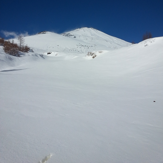
Mount Fuji Weather (Next 3 days): The snow forecast for Mount Fuji is: Light rain (total 6.0mm), mostly falling on Thu night. Freeze-thaw conditions (max 4°C on Wed night, min -3°C on Tue morning). Winds increasing (moderate winds from the W on Tue afternoon, extremely windy from the W by Tue night).
Mount Fuji Weather (Days 4-6): Light rain (total 2.0mm) at first, then becoming colder with a dusting of snow on Fri night. Freeze-thaw conditions (max 5°C on Fri morning, min -10°C on Sun night). Winds decreasing (near gales from the WSW on Fri night, moderate winds from the W by Sun afternoon).
| Resort | Snow Depth | Temp. (°C) | Wind (km/h) | Weather | ||
|---|---|---|---|---|---|---|
| Top Lift: | -10 | |||||
| Middle Lift: | -5 | |||||
| Bottom Lift: | -1 |
Latest snow reports near Mount Fuji:

Tuesday 25 | Wednesday 26 | Thursday 27 | Friday 28 | Saturday 29 | Sunday 30 | Monday 31 | |||||||||||||||
AM | PM | night | AM | PM | night | AM | PM | night | AM | PM | night | AM | PM | night | AM | PM | night | AM | PM | night | |
clear | clear | clear | clear | clear | clear | clear | some clouds | light snow | some clouds | rain shwrs | light snow | light snow | light snow | light snow | snow shwrs | some clouds | snow shwrs | snow shwrs | light snow | light snow | |
km/h | |||||||||||||||||||||
Snow map |  |  |  |  |  |  |  | ||||||||||||||
— | — | — | — | — | — | — | — | — | — | — | 1.0 | 1.0 | — | 1.0 | — | — | — | 1.0 | 2.0 | 2.0 | |
— | — | — | — | — | — | — | — | 6 | — | 1.0 | 1.0 | — | — | — | — | — | — | — | — | — | |
max°C | -3 | -2 | 0 | 1 | 2 | 4 | 4 | 3 | 3 | 5 | 4 | 2 | -4 | -6 | -8 | -7 | -8 | -8 | -9 | -9 | -8 |
min°C | -3 | -3 | -1 | 1 | 1 | 2 | 4 | 3 | 2 | 5 | 3 | -2 | -5 | -6 | -9 | -9 | -8 | -10 | -10 | -9 | -9 |
-12 | -10 | -12 | -9 | -6 | -5 | -3 | -4 | -6 | -1 | -4 | -11 | -15 | -16 | -20 | -19 | -17 | -20 | -20 | -18 | -17 | |
26 | 57 | 28 | 12 | 26 | 22 | 20 | 43 | 81 | 65 | 76 | 93 | 98 | 40 | 36 | 8 | 43 | 17 | 67 | 99 | 91 | |
2550 | 2700 | 3100 | 3100 | 3150 | 3500 | 3600 | 3550 | 3450 | 3800 | 3600 | 3100 | 2300 | 1850 | 1350 | 1450 | 1750 | 1150 | 1100 | 1250 | 1450 | |
5:41 | — | — | 5:41 | — | — | 5:39 | — | — | 5:37 | — | — | 5:37 | — | — | 5:35 | — | — | 5:33 | — | — | |
— | 6:00 | — | — | 6:00 | — | — | 6:00 | — | — | 6:01 | — | — | 6:02 | — | — | 6:04 | — | — | 6:05 | — | |
Light rain (total 6.0mm), mostly falling on Thu night. Freeze-thaw conditions (max 4°C on Wed night, min -3°C on Tue morning). Winds increasing (moderate winds from the W on Tue afternoon, extremely windy from the W by Tue night).
Light rain (total 2.0mm) at first, then becoming colder with a dusting of snow on Fri night. Freeze-thaw conditions (max 5°C on Fri morning, min -10°C on Sun night). Winds decreasing (near gales from the WSW on Fri night, moderate winds from the W by Sun afternoon).
Latest snow reports near Mount Fuji:
| Top snow depth: | — |
|---|---|
| Bottom snow depth: | — |
| Fresh snowfall depth: | 1 cm |
| Last snowfall: | 24 Mar 2025 |
| Snow Alerts | Create Alert |
1.5 | Bluebird Powder days Fresh snow, mostly sunny, light wind. |
|---|---|
0.5 | Powder days Fresh snow, limited sun, any wind. |
3.0 | Bluebird days Average snow, mostly sunny, light wind. |
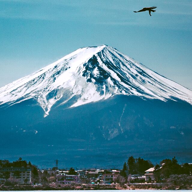
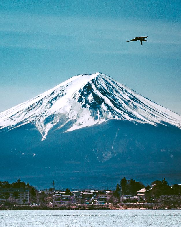
The above table gives the weather forecast for Mount Fuji at the specific elevation of 3014 m. Our sophisticated weather models allow us to provide snow forecasts for the top, middle and bottom ski stations of Mount Fuji. To access the weather forecasts for the other elevations, use the tab navigation above the table. For a wider view of the weather, check out the Weather Map of Japan.
Click here to read further information on freezing levels and how we forecast our temperatures.
Overall 2.8 Based on 2 votes and 7 reviews
Since discovering this site, I always check the weather forecast on the summit before going to Mt. Fuji. I have been to the summit 25 times now. The forecast, on this site, is generally very accurate but the weather on Fuji is changeable and on my last trip (August 15) the forecast was for a clear night sky, mild temperatures and all good for a sunrise. Things took a turn around 01:00 around 3200m with heavy rain and very strong winds. The rain stopped around 05:00 but the winds remained moderately strong until at least 07:00 by which time I was heading back down from the summit. Most important thing is to be prepared just in case there is a change in the weather. Some extra layers and waterproofs, even when the forecast is good, are definitely a must. Mt. Fuji is great. I have this site bookmarked and I'm often checking the forecast a week ahead if I get that feeling I need to go to again. Safe climbing !
Jasbir from Japan writes:
Since discovering this site, I always check the weather forecast on the summit before going to Mt. Fuji.
I have been to the summit 25 times now. The forecast, on this site, is generally very accurate but the weather on Fuji is changeable and on my last trip (August 15) the forecast was for a clear night sky, mild temperatures and all good for a sunrise. Things took a turn around 01:00 around 3200m with heavy rain and very strong winds. The rain stopped around 05:00 but the winds remained moderately strong until at least 07:00 by which time I was heading back down from the summit.
Most important thing is to be prepared just in case there is a change in the weather. Some extra layers and waterproofs, even when the forecast is good, are definitely a must.
Mt. Fuji is great. I have this site bookmarked and I'm often checking the forecast a week ahead if I get that feeling I need to go to again.
Safe climbing !
The Mount Fuji skiing weather widget is available to embed on external websites free of charge. It provides a daily summary of our Mount Fuji snow forecast and current weather conditions. Simply go to the feed configuration page and follow the 3 simple steps to grab the custom html code snippet and paste it into your own site. You can choose the snow forecast elevation (summit, mid-mountain or bottom lift) and metric/imperial units for the snow forecast feed to suit your own website…. Click here to get the code.
View detailed snow forecast for Mount Fuji at:
snow-forecast.com


 Nearest