

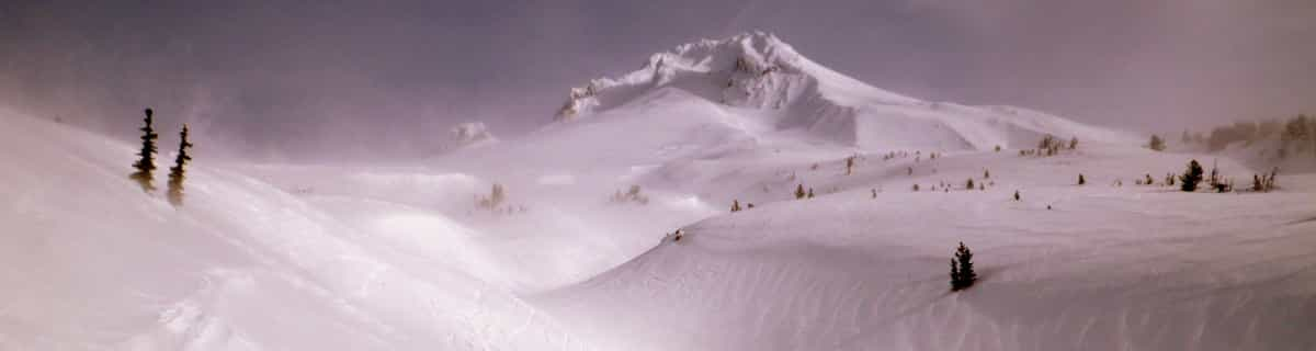
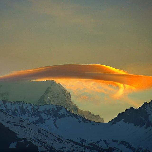
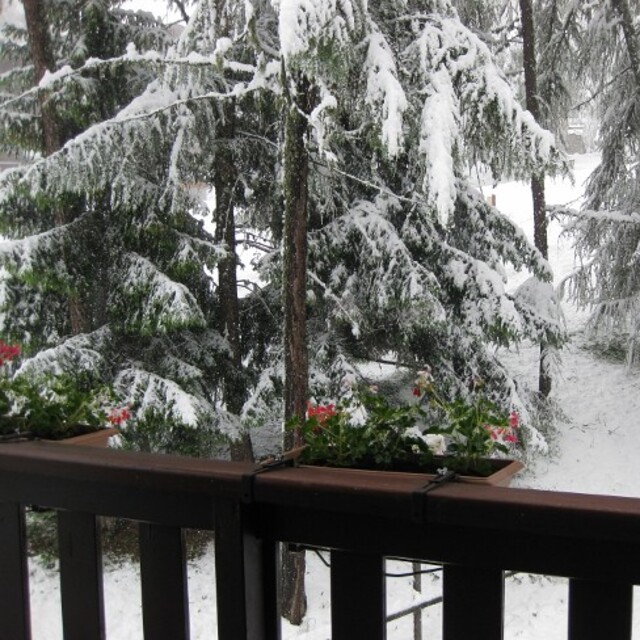
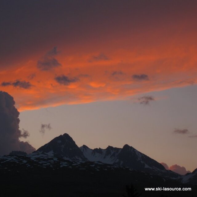
Massive Snowfall in the Alps
A huge snowfall is underway in the Alps, by far the biggest of the 24-25 season.
Please sign in with your Snow-Forecast account details below.


Montchavin Weather (Next 3 days): The snow forecast for Montchavin is: Moderate rain (total 10.0mm), heaviest on Sun morning. Freeze-thaw conditions (max 9°C on Mon afternoon, min 0°C on Sun night). Wind will be generally light.
Montchavin Weather (Days 4-6): Moderate rain (total 11.0mm), heaviest on Tue afternoon. Very mild (max 12°C on Tue afternoon, min 4°C on Tue morning). Wind will be generally light.
| Resort | Snow Depth | Temp. (°C) | Wind (km/h) | Weather | ||
|---|---|---|---|---|---|---|
| Top Lift: | -3 | |||||
| Middle Lift: | 1 | |||||
| Bottom Lift: | 3 |
Latest snow reports near Montchavin:
Great conditions for this time of year. Light clouds dotting the sky. from Val Thorens

Saturday 19 | Sunday 20 | Monday 21 | Tuesday 22 | Wednesday 23 | Thursday 24 | Friday 25 | |||||||||||||||
AM | PM | night | AM | PM | night | AM | PM | night | AM | PM | night | AM | PM | night | AM | PM | night | AM | PM | night | |
cloudy | cloudy | rain shwrs | light rain | light rain | rain shwrs | some clouds | cloudy | some clouds | clear | rain shwrs | light rain | light rain | light rain | light rain | cloudy | rain shwrs | some clouds | some clouds | some clouds | some clouds | |
km/h | |||||||||||||||||||||
Snow map |  |  |  |  |  |  |  | ||||||||||||||
— | — | — | — | — | — | — | — | — | — | — | — | — | — | — | — | — | — | — | — | — | |
— | — | 1.0 | 3 | 4 | 2.0 | — | — | — | — | 1.0 | 4 | 2.0 | 2.0 | 1.0 | — | 1.0 | — | — | — | — | |
max°C | 6 | 8 | 5 | 6 | 7 | 6 | 6 | 9 | 6 | 9 | 12 | 8 | 8 | 9 | 8 | 6 | 11 | 7 | 9 | 11 | 9 |
min°C | 3 | 7 | 3 | 4 | 7 | 0 | 3 | 8 | 2 | 4 | 11 | 7 | 7 | 9 | 4 | 5 | 10 | 4 | 5 | 11 | 5 |
0 | 5 | 0 | 4 | 7 | -2 | 3 | 8 | 0 | 3 | 11 | 7 | 7 | 9 | 4 | 5 | 9 | 4 | 5 | 10 | 5 | |
97 | 94 | 89 | 99 | 91 | 87 | 87 | 80 | 83 | 69 | 72 | 99 | 92 | 89 | 92 | 91 | 62 | 89 | 74 | 64 | 83 | |
2600 | 2450 | 2200 | 2250 | 2350 | 1700 | 2200 | 2400 | 2300 | 2650 | 2750 | 2500 | 2450 | 2550 | 2550 | 2250 | 2500 | 2250 | 2550 | 2600 | 2650 | |
6:41 | — | — | 6:39 | — | — | 6:37 | — | — | 6:35 | — | — | 6:33 | — | — | 6:33 | — | — | 6:31 | — | — | |
— | — | 8:22 | — | — | 8:24 | — | — | 8:25 | — | — | 8:27 | — | — | 8:28 | — | — | 8:30 | — | — | 8:30 | |
Moderate rain (total 10.0mm), heaviest on Sun morning. Freeze-thaw conditions (max 9°C on Mon afternoon, min 0°C on Sun night). Wind will be generally light.
Moderate rain (total 11.0mm), heaviest on Tue afternoon. Very mild (max 12°C on Tue afternoon, min 4°C on Tue morning). Wind will be generally light.
Latest snow reports near Montchavin:
Great conditions for this time of year. Light clouds dotting the sky. from Val Thorens
| Top snow depth: | — |
|---|---|
| Bottom snow depth: | — |
| Fresh snowfall depth: | 89 cm |
| Last snowfall: | 17 Apr 2025 |
| Snow Alerts | Create Alert |
0.0 | Bluebird Powder days Fresh snow, mostly sunny, light wind. |
|---|---|
0.1 | Powder days Fresh snow, limited sun, any wind. |
0.0 | Bluebird days Average snow, mostly sunny, light wind. |
The above table gives the weather forecast for Montchavin at the specific elevation of 1250 m. Our sophisticated weather models allow us to provide snow forecasts for the top, middle and bottom ski stations of Montchavin. To access the weather forecasts for the other elevations, use the tab navigation above the table. For a wider view of the weather, check out the Weather Map of France.
Click here to read further information on freezing levels and how we forecast our temperatures.
Overall 4.5 Based on 8 votes and 8 reviews
We have been going to Les Coches (Montchavin/Les Coches) for years and bought a place out there 5 years ago. It's a great family resort: just 2 real bars for apres-ski and all shops, bars and restaurants are situated around the main square. Little ones can run around out there whilst mum and dad relax with a beer. On the down side my son is currently out there and reports hard packed snow with rocks beginning to show through. It's in desperate need of a huge dump of the white fluffy stuff. I have to say this is the first time in 10 years that it's been like this, so keep watching the forecast and if it snows get out there. If you have little ones this is the place for you. That's not to say it's dead; my teenage sons still manage to get into trouble.
Ian C from United Kingdom writes:
We have been going to Les Coches (Montchavin/Les Coches) for years and bought a place out there 5 years ago. It's a great family resort: just 2 real bars for apres-ski and all shops, bars and restaurants are situated around the main square. Little ones can run around out there whilst mum and dad relax with a beer. On the down side my son is currently out there and reports hard packed snow with rocks beginning to show through. It's in desperate need of a huge dump of the white fluffy stuff. I have to say this is the first time in 10 years that it's been like this, so keep watching the forecast and if it snows get out there. If you have little ones this is the place for you. That's not to say it's dead; my teenage sons still manage to get into trouble.
The Montchavin skiing weather widget is available to embed on external websites free of charge. It provides a daily summary of our Montchavin snow forecast and current weather conditions. Simply go to the feed configuration page and follow the 3 simple steps to grab the custom html code snippet and paste it into your own site. You can choose the snow forecast elevation (summit, mid-mountain or bottom lift) and metric/imperial units for the snow forecast feed to suit your own website…. Click here to get the code.
View detailed snow forecast for Montchavin at:
snow-forecast.com


 Nearest