

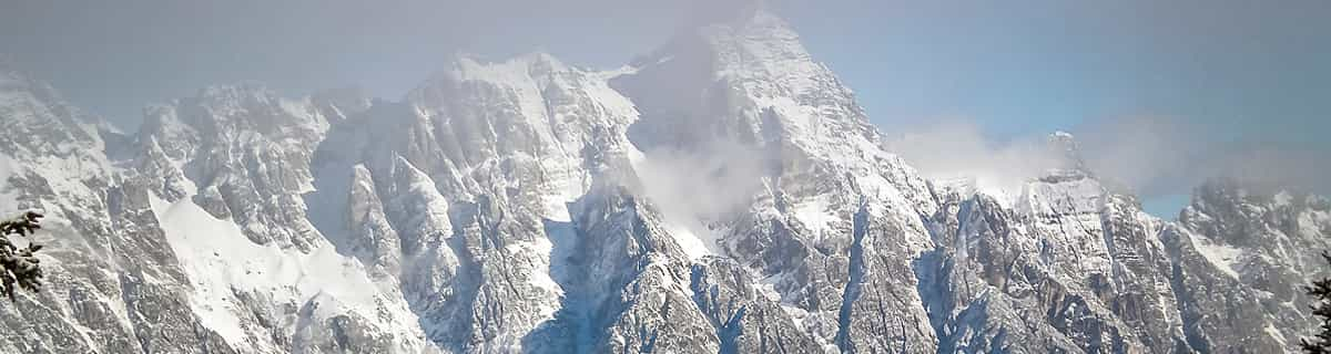
Massive Snowfall in the Alps
A huge snowfall is underway in the Alps, by far the biggest of the 24-25 season.
Please sign in with your Snow-Forecast account details below.

Mont Ste Marie Weather (Next 3 days): The snow forecast for Mont Ste Marie is: Heavy rain (total 24.0mm), heaviest during Mon night. Freeze-thaw conditions (max 14°C on Sat morning, min -2°C on Sat night). Winds decreasing (fresh winds from the WSW on Sat morning, calm by Sun night).
Mont Ste Marie Weather (Days 4-6): Light rain (total 3.0mm), mostly falling on Tue morning. Very mild (max 14°C on Thu afternoon, min 1°C on Tue night). Wind will be generally light.
| Resort | Snow Depth | Temp. (°C) | Wind (km/h) | Weather | ||
|---|---|---|---|---|---|---|
| Top Lift: | 12 | |||||
| Bottom Lift: | 11 |
Latest snow reports near Mont Ste Marie:

Saturday 19 | Sunday 20 | Monday 21 | Tuesday 22 | Wednesday 23 | Thursday 24 | Friday 25 | |||||||||||||||
AM | PM | night | AM | PM | night | AM | PM | night | AM | PM | night | AM | PM | night | AM | PM | night | AM | PM | night | |
light rain | light rain | rain shwrs | some clouds | clear | some clouds | cloudy | light rain | heavy rain | light rain | light rain | cloudy | cloudy | cloudy | cloudy | clear | some clouds | cloudy | mod. rain | mod. rain | rain shwrs | |
km/h | |||||||||||||||||||||
Snow map |  |  |  |  |  |  |  | ||||||||||||||
— | — | — | — | — | — | — | — | — | — | — | — | — | — | — | — | — | — | — | — | — | |
4 | 2.0 | 1.0 | — | — | — | — | 5 | 12 | 2.0 | 1.0 | — | — | — | — | — | — | — | 10 | 7 | 1.0 | |
max°C | 14 | 14 | 7 | 2 | 7 | 4 | 6 | 4 | 8 | 5 | 4 | 3 | 3 | 7 | 6 | 9 | 14 | 10 | 7 | 7 | 7 |
min°C | 12 | 11 | -2 | -1 | 6 | 0 | 2 | 4 | 6 | 4 | 4 | 1 | 2 | 5 | 4 | 5 | 12 | 7 | 7 | 7 | 2 |
10 | 8 | -8 | -7 | 2 | 0 | -1 | 1 | 2 | 0 | 0 | -3 | -1 | 3 | 4 | 5 | 12 | 7 | 6 | 4 | -2 | |
96 | 84 | 81 | 40 | 30 | 59 | 34 | 88 | 97 | 96 | 96 | 98 | 86 | 65 | 72 | 62 | 51 | 78 | 96 | 95 | 77 | |
3450 | 2650 | 450 | 600 | 1100 | 1200 | 2600 | 3000 | 2350 | 1300 | 1300 | 700 | 850 | 1300 | 1250 | 1600 | 2200 | 2500 | 2150 | 1800 | 1800 | |
6:11 | — | — | 6:09 | — | — | 6:07 | — | — | 6:05 | — | — | 6:03 | — | — | 6:01 | — | — | 6:01 | — | — | |
— | 7:54 | — | — | 7:55 | — | — | 7:58 | — | — | 7:59 | — | — | — | 8:00 | — | — | 8:00 | — | — | 8:02 | |
Heavy rain (total 24.0mm), heaviest during Mon night. Freeze-thaw conditions (max 14°C on Sat morning, min -2°C on Sat night). Winds decreasing (fresh winds from the WSW on Sat morning, calm by Sun night).
Light rain (total 3.0mm), mostly falling on Tue morning. Very mild (max 14°C on Thu afternoon, min 1°C on Tue night). Wind will be generally light.
Latest snow reports near Mont Ste Marie:
| Top snow depth: | — |
|---|---|
| Bottom snow depth: | — |
| Fresh snowfall depth: | — |
| Last snowfall: | 15 Apr 2025 |
| Snow Alerts | Create Alert |
0.2 | Bluebird Powder days Fresh snow, mostly sunny, light wind. |
|---|---|
0.2 | Powder days Fresh snow, limited sun, any wind. |
0.2 | Bluebird days Average snow, mostly sunny, light wind. |
The above table gives the weather forecast for Mont Ste Marie at the specific elevation of 392 m. Our sophisticated weather models allow us to provide snow forecasts for the top, middle and bottom ski stations of Mont Ste Marie. To access the weather forecasts for the other elevations, use the tab navigation above the table. For a wider view of the weather, check out the Weather Map of Canada.
Click here to read further information on freezing levels and how we forecast our temperatures.
Overall 2.7 Based on 2 votes and 4 reviews
Great place if you own a cottage there but useless for everyone else. No lodging or restaurants at all except a lodge that smells so bad I would not dare eat there. The hills are nice when they have snow which is rarely. The roads from Ottawa are very dangerous as you get within 20 minutes of skiing. Be very careful. The resort itself is not a resort at all but a ski run with virtually no services or alternative activities or lodging. The only hotel has not been in use in 20 years. Very poorly run ski area. Not worth the money. Better value closer to Ottawa. If you want more than that spend the money and go enjoy a day and night in Mont-Tremblant.
Paul from Canada writes:
Great place if you own a cottage there but useless for everyone else.
No lodging or restaurants at all except a lodge that smells so bad I would not dare eat there. The hills are nice when they have snow which is rarely. The roads from Ottawa are very dangerous as you get within 20 minutes of skiing. Be very careful. The resort itself is not a resort at all but a ski run with virtually no services or alternative activities or lodging. The only hotel has not been in use in 20 years. Very poorly run ski area. Not worth the money. Better value closer to Ottawa. If you want more than that spend the money and go enjoy a day and night in Mont-Tremblant.
The Mont Ste Marie skiing weather widget is available to embed on external websites free of charge. It provides a daily summary of our Mont Ste Marie snow forecast and current weather conditions. Simply go to the feed configuration page and follow the 3 simple steps to grab the custom html code snippet and paste it into your own site. You can choose the snow forecast elevation (summit, mid-mountain or bottom lift) and metric/imperial units for the snow forecast feed to suit your own website…. Click here to get the code.
View detailed snow forecast for Mont Ste Marie at:
snow-forecast.com


 Nearest