snowy resort image
Ski France

Le Mont-Dore Snow Forecast

Weather Forecast for Le Mont-Dore at 1204 m
Issued: 7 am  16 Apr 2025 (local time)

New snow in Le Mont-Dore

0.2cm0.1in
Wed 16th (AM)
The snow forecast for Le Mont-Dore is: Light rain (total 8.0mm) at first, then becoming colder with a dusting of snow on Wed night. Freeze-thaw conditions (max 11°C on Fri afternoon, min 0°C on Wed morning). Wind will be generally light.

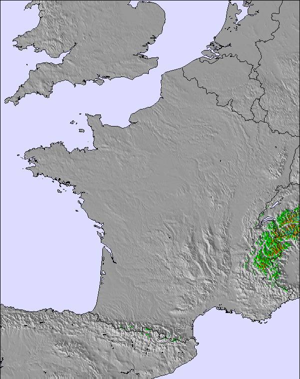
Le Mont-Dore Weather (Next 3 days): The snow forecast for Le Mont-Dore is: Light rain (total 8.0mm) at first, then becoming colder with a dusting of snow on Wed night. Freeze-thaw conditions (max 11°C on Fri afternoon, min 0°C on Wed morning). Wind will be generally light.

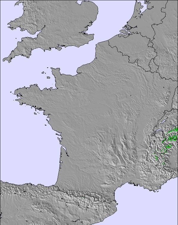
Le Mont-Dore Weather (Days 4-6): Heavy rain (total 29.0mm), mainly falling Sat night. Becoming colder with a light covering of snow, mostly falling on Sat night. Freeze-thaw conditions (max 8°C on Sun afternoon, min 0°C on Sat night). Winds decreasing (strong winds from the S on Sat afternoon, calm by Mon morning).


Le Mont-Dore Live Weather

ResortSnow DepthTemp. (°C)Wind (km/h)Weather
Top Lift: 0.0m
-3
5
light snow
Middle Lift: 
-1
10
light snow
Bottom Lift: 0.0m
1
10
light snow
Powered by Snow-Forecast.comSnow-Forecast.com
6 Day Forecast
Issued: 7 am 16 Apr 2025 / Updates in ::
Change Forecast Height
Choose Forecast
Last 6 daysScroll left for last 6 daysNow
Wednesday
16
Thursday
17
Friday
18
Saturday
19
Sunday
20
Monday
21
Tuesday
22
AM
PM
night
AM
PM
night
AM
PM
night
AM
PM
night
AM
PM
night
AM
PM
night
AM
PM
night
light snow
light rain
light snow
light snow
light rain
rain showers
clear
cloud
part cloud
mod rain
light rain
mod snow
snow showers
cloud
rain showers
light rain
light rain
light rain
part cloud
part cloud
part cloud
light snow
light rain
light snow
light snow
light rain
rain shwrs
clear
cloudy
some clouds
mod. rain
light rain
mod. snow
snow shwrs
cloudy
rain shwrs
light rain
light rain
light rain
some clouds
some clouds
some clouds
 km/h
10
N
0
ENE
15
NW
20
NW
20
NNW
10
NW
10
ESE
15
S
20
SSW
15
SSE
45
S
15
W
10
SSW
10
SSW
5
SW
5
ESE
10
W
10
WNW
5
W
5
W
5
S
Snow map
 cm 
1.0
1.0
5
 mm 
2.0
2.0
2.0
2.0
7
4
10
2.0
1.0
4
1.0
max°C
1
4
3
1
4
3
5
11
9
5
7
5
4
8
5
6
6
4
6
11
8
min°C
0
3
1
1
3
1
2
9
4
5
7
0
0
7
2
3
5
3
3
10
5
chill°C 
-4
3
-4
-4
-2
-2
0
7
-1
1
2
-4
-4
5
0
1
2
0
3
10
3
Humid% 
91
90
96
99
92
96
84
53
65
97
94
98
76
52
92
86
92
97
90
59
59
Freezing level (m
1350
1700
1450
1300
1700
1600
2250
2750
2500
2350
2450
1250
1600
2050
1750
1850
1950
1950
2200
2700
2750
topliftbotliftSea lvl1000m2000m3000m4000m5000m
-3-2-2-3-2-215424-1-320-11115614214241075732845645117
Sunrise
7:01
7:00
6:58
6:56
6:54
6:52
6:52
Sunset
8:35
8:36
8:37
8:38
8:39
8:42
8:43

Snow Radar

Latest snow reports near Le Mont-Dore:

No recent snow reports

No recent snow reports

Le Mont-Dore Snow Conditions

Top snow depth:0cm
Bottom snow depth:0cm
Fresh snowfall depth:14cm
Last snowfall:15 Apr 2025
Snow AlertsCreate Alert
Other resorts in France are reporting: powder (0) / good piste (0)

Snow-Forecast Partner Offers

Snow History

Week 3 of April has on average:
0.0
Bluebird Powder days
Fresh snow, mostly sunny, light wind.
0.2
Powder days
Fresh snow, limited sun, any wind.
0.0
Bluebird days
Average snow, mostly sunny, light wind.


Snow-Forecast Partner Offers