Kaprun snow
Ski Austria

Kaprun Snow Forecast

Weather Forecast for Kaprun at 3029 m
Issued: 12 am  28 Mar 2025 (local time)

New snow in Kaprun

1.7cm0.7in
Fri 28th (PM)
The snow forecast for Kaprun is: A moderate fall of snow, heaviest on Sat afternoon. Temperatures will be below freezing (max -4°C on Thu night, min -10°C on Sun afternoon). Winds increasing (light winds from the ESE on Fri morning, fresh winds from the WNW by Sun afternoon).

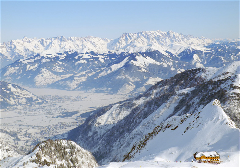
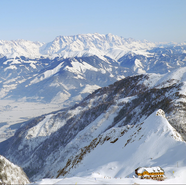
Kaprun Weather (Next 3 days): The snow forecast for Kaprun is: A moderate fall of snow, heaviest on Sat afternoon. Temperatures will be below freezing (max -4°C on Thu night, min -10°C on Sun afternoon). Winds increasing (light winds from the ESE on Fri morning, fresh winds from the WNW by Sun afternoon).

Kaprun Weather (Days 4-6): A heavy fall of snow, heaviest during Sun night. Temperatures will be below freezing (max -5°C on Mon night, min -14°C on Sun night). Winds decreasing (strong winds from the WNW on Sun night, calm by Wed afternoon).


Kaprun Live Weather

ResortSnow DepthTemp. (°C)Wind (km/h)Weather
Top Lift: 2.0m
-4
15
clear
Middle Lift: 
-3
5
clear
Bottom Lift: 0.3m
0
5
clear
Powered by Snow-Forecast.comSnow-Forecast.com
6 Day Forecast
Issued: 12 am 28 Mar 2025 / Updates in ::
Change Forecast Height
Choose Forecast
Last 6 daysScroll left for last 6 daysNow
Friday
28
Saturday
29
Sunday
30
Monday
31
Tuesday
1
Wednesday
2
night
AM
PM
night
AM
PM
night
AM
PM
night
AM
PM
night
AM
PM
night
AM
PM
night
clear
part cloud
light snow
light snow
light snow
light snow
mod snow
light snow
cloud
heavy snow
light snow
light snow
clear
clear
clear
part cloud
clear
clear
part cloud
clear
some clouds
light snow
light snow
light snow
light snow
mod. snow
light snow
cloudy
heavy snow
light snow
light snow
clear
clear
clear
some clouds
clear
clear
some clouds
 km/h
15
E
10
ESE
10
ENE
10
NE
15
NNW
25
NNW
25
NNW
15
NNW
25
WNW
50
WNW
30
NNW
15
NNE
25
E
15
E
10
E
10
ESE
10
SSE
10
S
5
NNW
Snow map
 cm 
4
3
4
7
15
4
2.0
 mm 
max°C
-4
-4
-5
-6
-9
-9
-9
-7
-6
-9
-13
-13
-5
-6
-6
-7
-6
-5
-5
min°C
-4
-4
-5
-8
-9
-9
-9
-8
-10
-14
-14
-13
-10
-6
-7
-8
-6
-5
-5
chill°C 
-10
-7
-9
-13
-16
-18
-18
-15
-20
-26
-25
-20
-19
-12
-13
-12
-10
-9
-5
Humid% 
16
56
88
100
96
97
98
86
12
93
95
88
26
58
31
50
48
74
55
Freezing level (m
1350
2250
2400
1700
1650
1600
1300
1450
1800
1250
1150
1200
800
1400
1550
850
1950
2250
1500
topliftbotliftSea lvl1000m2000m3000m4000m5000m
-4-4-5-7-9-9-9-8-8-12-14-13-8-6-7-8-6-5-52109554344121-243-1874
Sunrise
5:56
5:54
6:52
5:50
5:48
5:46
Sunset
6:31
6:32
7:35
6:36
6:37
6:38

Snow Radar

Latest snow reports near Kaprun:

No recent snow reports

No recent snow reports

Kaprun Snow Conditions

Top snow depth:195cm
Bottom snow depth:30cm
Fresh snowfall depth:2cm
Last snowfall:26 Mar 2025
Snow AlertsCreate Alert
Other resorts in Austria are reporting: powder (12) / good piste (14)

Snow-Forecast Partner Offers

Snow History

Week 4 of March has on average:
0.8
Bluebird Powder days
Fresh snow, mostly sunny, light wind.
1.7
Powder days
Fresh snow, limited sun, any wind.
2.4
Bluebird days
Average snow, mostly sunny, light wind.

Kaprun Resort Webcam

Live Snow webcam for Kaprun
Most recent Kaprun webcam image
Webcam courtesy of Kaprun website
  • 2pm yesterdayKaprun webcam at 2pm yesterday
  • 2 days agoKaprun webcam 1 days ago
  • 3 days agoKaprun webcam 2 days ago
  • 4 days agoKaprun webcam 3 days ago
  • 5 days agoKaprun webcam 4 days ago