

French Ski Areas Announce 2025 Summer Ski Plans
Three French ski areas have announced their opening plans in May, June and July after the winter season ends on May 4th.
Please sign in with your Snow-Forecast account details below.

Grainau Weather (Next 3 days): The snow forecast for Grainau is: Moderate rain (total 18.0mm), heaviest on Thu night. Very mild (max 14°C on Wed afternoon, min 2°C on Thu night). Wind will be generally light.
Grainau Weather (Days 4-6): Mild at first with light rain (total 4.0mm) on Sat night followed by colder weather and light fall of snow, heaviest on Sun night. Freeze-thaw conditions (max 12°C on Sat morning, min -1°C on Sat night). Wind will be generally light.
| Resort | Snow Depth | Temp. (°C) | Wind (km/h) | Weather | ||
|---|---|---|---|---|---|---|
| Top Lift: | 1 | |||||
| Middle Lift: | 4 | |||||
| Bottom Lift: | 6 |
Latest snow reports near Grainau:

Tuesday 15 | Wednesday 16 | Thursday 17 | Friday 18 | Saturday 19 | Sunday 20 | Monday 21 | |||||||||||||||
AM | PM | night | AM | PM | night | AM | PM | night | AM | PM | night | AM | PM | night | AM | PM | night | AM | PM | night | |
some clouds | light rain | rain shwrs | some clouds | rain shwrs | rain shwrs | some clouds | light rain | heavy rain | light snow | cloudy | some clouds | some clouds | light rain | light snow | light snow | light rain | mod. snow | light snow | light snow | light snow | |
km/h | |||||||||||||||||||||
Snow map |  |  |  |  |  |  |  | ||||||||||||||
— | — | — | — | — | — | — | — | — | 1.0 | — | — | — | — | 3 | — | — | 9 | 1.0 | 1.0 | 3 | |
— | 1.0 | 1.0 | — | 1.0 | 2.0 | — | 1.0 | 12 | — | — | — | — | 1.0 | 2.0 | — | 1.0 | — | — | — | — | |
max°C | 12 | 12 | 7 | 12 | 14 | 7 | 6 | 6 | 3 | 3 | 4 | 4 | 12 | 12 | 6 | 2 | 3 | 0 | 0 | 0 | -1 |
min°C | 6 | 9 | 4 | 6 | 14 | 3 | 4 | 5 | 2 | 2 | 4 | 2 | 4 | 11 | -1 | -1 | 3 | 0 | 0 | 0 | -1 |
4 | 9 | 2 | 4 | 14 | 3 | 4 | 4 | 2 | 2 | 3 | 1 | 2 | 11 | -1 | -1 | 3 | 0 | 0 | -2 | -3 | |
57 | 73 | 66 | 50 | 44 | 93 | 94 | 96 | 99 | 98 | 98 | 78 | 50 | 61 | 99 | 82 | 81 | 99 | 98 | 98 | 99 | |
2950 | 2850 | 3250 | 3200 | 2900 | 2600 | 3150 | 3200 | 2100 | 2100 | 2400 | 2850 | 2700 | 2750 | 1550 | 1750 | 2050 | 1450 | 1450 | 1500 | 1300 | |
6:28 | — | — | 6:26 | — | — | 6:24 | — | — | 6:22 | — | — | 6:20 | — | — | 6:18 | — | — | 6:16 | — | — | |
— | — | 8:04 | — | — | 8:05 | — | — | 8:07 | — | — | 8:07 | — | — | 8:09 | — | — | 8:10 | — | — | 8:12 | |
Moderate rain (total 18.0mm), heaviest on Thu night. Very mild (max 14°C on Wed afternoon, min 2°C on Thu night). Wind will be generally light.
Mild at first with light rain (total 4.0mm) on Sat night followed by colder weather and light fall of snow, heaviest on Sun night. Freeze-thaw conditions (max 12°C on Sat morning, min -1°C on Sat night). Wind will be generally light.
Latest snow reports near Grainau:
| Top snow depth: | — |
|---|---|
| Bottom snow depth: | — |
| Fresh snowfall depth: | — |
| Last snowfall: | 1 Apr 2025 |
| Snow Alerts | Create Alert |
0.0 | Bluebird Powder days Fresh snow, mostly sunny, light wind. |
|---|---|
1.0 | Powder days Fresh snow, limited sun, any wind. |
0.0 | Bluebird days Average snow, mostly sunny, light wind. |
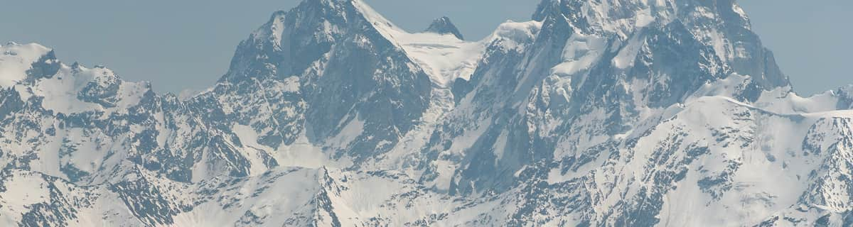
The above table gives the weather forecast for Grainau at the specific elevation of 1480 m. Our sophisticated weather models allow us to provide snow forecasts for the top, middle and bottom ski stations of Grainau. To access the weather forecasts for the other elevations, use the tab navigation above the table. For a wider view of the weather, check out the Weather Map of Germany.
Click here to read further information on freezing levels and how we forecast our temperatures.
I was surprised at the prices of hotels and general shopping. I was there on Nov 3rd-10th, 2007. I had been there before but never during winter time. It seemed like everything had doubled in price. Talk about taking advantage of the ski season. So if you are planning a winter vacation in Garmisch/Greinau, you better be prepared to spend a small fortune, depending on how many people are in your party. Other than that, both places are lovely, absolutely gorgeous. I felt like a small child in a fairytale land.
wolfram h. stolle from Germany writes:
I was surprised at the prices of hotels and general shopping. I was there on Nov 3rd-10th, 2007. I had been there before but never during winter time. It seemed like everything had doubled in price. Talk about taking advantage of the ski season. So if you are planning a winter vacation in Garmisch/Greinau, you better be prepared to spend a small fortune, depending on how many people are in your party. Other than that, both places are lovely, absolutely gorgeous. I felt like a small child in a fairytale land.
The Grainau skiing weather widget is available to embed on external websites free of charge. It provides a daily summary of our Grainau snow forecast and current weather conditions. Simply go to the feed configuration page and follow the 3 simple steps to grab the custom html code snippet and paste it into your own site. You can choose the snow forecast elevation (summit, mid-mountain or bottom lift) and metric/imperial units for the snow forecast feed to suit your own website…. Click here to get the code.
View detailed snow forecast for Grainau at:
snow-forecast.com


 Nearest