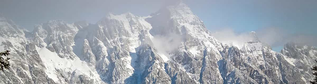

🇦🇺🇳🇿 Southern Hemisphere Weekly Snow Roundup #316
Weekly Snow News for the Southern Hemisphere, updated 28 May 2026: Cold temperatures, snowmaking and light snowfall raise optimism ahead of Australia and New Zealand’s 2026 ski season openings.

Next 3 days weather summary:Some drizzle, heaviest during Fri morning. Freeze-thaw conditions (max 10°C on Sun afternoon, min 0°C on Sat morning). Winds decreasing (fresh winds from the W on Fri afternoon, calm by Sun night). | Days 4-6 weather summary:Light rain (total 3.0mm), mostly falling on Wed night. Very mild (max 18°C on Tue afternoon, min 2°C on Wed night). Winds increasing (calm on Tue morning, fresh winds from the W by Wed night). | |||||||||||||||||
Friday 29 | Saturday 30 | Sunday 31 | Monday 1 | Tuesday 2 | Wednesday 3 | |||||||||||||
AM | PM | night | AM | PM | night | AM | PM | night | AM | PM | night | AM | PM | night | AM | PM | night | |
rain shwrs | some clouds | some clouds | some clouds | clear | some clouds | clear | clear | clear | clear | clear | clear | clear | clear | some clouds | cloudy | some clouds | rain shwrs | |
km/h | ||||||||||||||||||
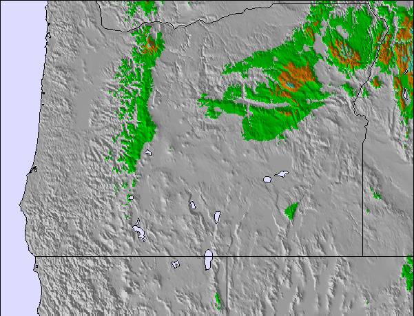
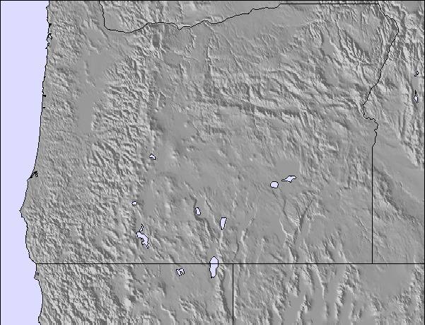
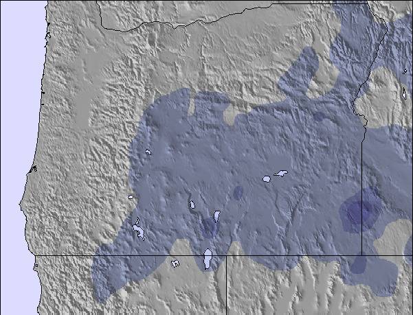
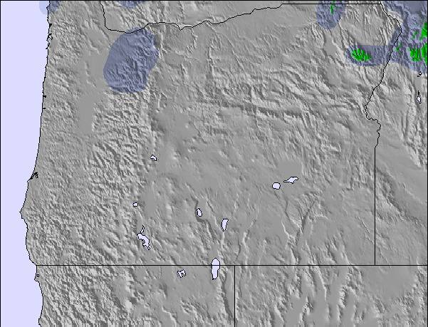
Snow map |  |  |  |  | 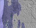 | 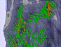 | ||||||||||||
— | — | — | — | — | — | — | — | — | — | — | — | — | — | — | — | — | — | |
1 | — | — | — | — | — | — | — | — | — | — | — | — | — | — | — | — | 3 | |
max °C | 5 | 5 | 4 | 2 | 6 | 5 | 7 | 10 | 10 | 12 | 15 | 15 | 14 | 18 | 15 | 9 | 10 | 4 |
min °C | 4 | 4 | 1 | 0 | 5 | 3 | 4 | 9 | 9 | 10 | 14 | 11 | 11 | 17 | 11 | 9 | 7 | 2 |
-1 | -1 | -5 | -6 | 1 | -1 | 1 | 7 | 7 | 9 | 13 | 10 | 10 | 17 | 10 | 7 | 3 | -3 | |
93 | 67 | 45 | 60 | 52 | 61 | 49 | 44 | 43 | 35 | 30 | 38 | 44 | 36 | 50 | 61 | 73 | 95 | |
2800 | 2950 | 2050 | 1900 | 2400 | 2400 | 2550 | 2850 | 2900 | 3050 | 3100 | 3250 | 3450 | 3450 | 3350 | 2950 | 2650 | 2450 | |
5:22 | — | — | 5:22 | — | — | 5:22 | — | — | 5:20 | — | — | 5:20 | — | — | 5:20 | — | — | |
— | — | 8:44 | — | — | 8:45 | — | — | 8:45 | — | — | 8:46 | — | — | 8:47 | — | — | 8:47 | |
Latest snow reports near Cooper Spur:
| Top snow depth: | — |
|---|---|
| Bottom snow depth: | — |
| Fresh snowfall depth: | — |
| Last snowfall: | 16 May 2026 |
| Snow Alerts | Create Alert |
0.0 | Bluebird Powder days Fresh snow, mostly sunny, light wind. |
|---|---|
0.1 | Powder days Fresh snow, limited sun, any wind. |
0.0 | Bluebird days Average snow, mostly sunny, light wind. |
The above table gives the weather forecast for Cooper Spur at the specific elevation of 1400 m. Our sophisticated weather models allow us to provide snow forecasts for the top, middle and bottom ski stations of Cooper Spur. To access the weather forecasts for the other elevations, use the tab navigation above the table. For a wider view of the weather, check out the Weather Map of United States.
Click here to read further information on freezing levels and how we forecast our temperatures.
Overall 2.6 Based on 3 votes and 6 reviews
Have you been to Cooper Spur Mountain Resort lately? WOW ... what a nice little Pacific Northwest Resort!! There is a new management team with a very friendly staff. The Cabins, Condos and Lodge Rooms are clean and welcoming! The Restaurant is quaint with a roaring fire and good food!! The outdoor hot tubs are a plus for star-gazing :) The Ski and Tubing Area has had great snow this year and the Ski Lodge is a wonderful gathering place for friends and family. Lodging is available year-round for hikers and bikers as well. If you are looking for a wonderful pacific northwest experience or just looking to get out of Portland ... give them a try. 541-352-6692
Ski Bunny from United States writes:
Have you been to Cooper Spur Mountain Resort lately? WOW ... what a nice little Pacific Northwest Resort!! There is a new management team with a very friendly staff. The Cabins, Condos and Lodge Rooms are clean and welcoming! The Restaurant is quaint with a roaring fire and good food!! The outdoor hot tubs are a plus for star-gazing :) The Ski and Tubing Area has had great snow this year and the Ski Lodge is a wonderful gathering place for friends and family. Lodging is available year-round for hikers and bikers as well. If you are looking for a wonderful pacific northwest experience or just looking to get out of Portland ... give them a try. 541-352-6692

 Nearest