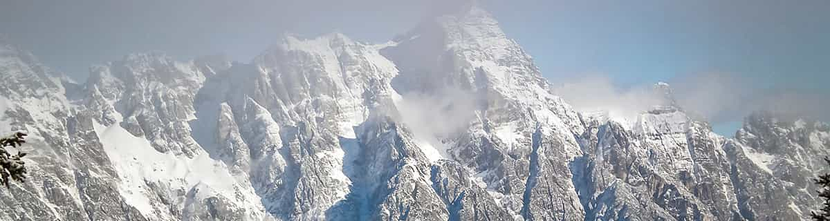


Portillo Re-Opens To Guests Arriving By Helicopter
Chile’s famous Portillo ski resort is reported to have re-opened to guests arriving by helicopter after being cut off by road for more than two weeks by over 6m/20 feet of snowfall.

Next 3 days weather summary:Mostly dry. Warm (max 26°C on Wed afternoon, min 11°C on Mon morning). Wind will be generally light. | Days 4-6 weather summary:Mostly dry. Warm (max 26°C on Thu afternoon, min 14°C on Sat night). Mainly fresh winds. | |||||||||||||||||
Monday 3 | Tuesday 4 | Wednesday 5 | Thursday 6 | Friday 7 | Saturday 8 | |||||||||||||
AM | PM | night | AM | PM | night | AM | PM | night | AM | PM | night | AM | PM | night | AM | PM | night | |
clear | clear | clear | clear | clear | clear | clear | clear | clear | clear | clear | clear | clear | clear | clear | clear | clear | clear | |
km/h | ||||||||||||||||||
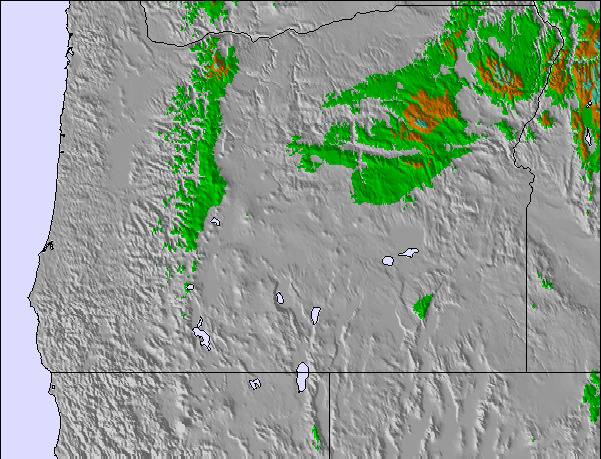
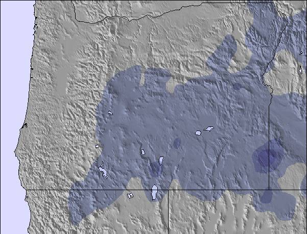
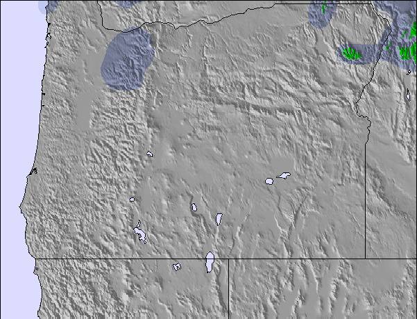
Snow map |  |  |  | 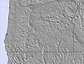 |  | 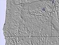 | ||||||||||||
— | — | — | — | — | — | — | — | — | — | — | — | — | — | — | — | — | — | |
mm | — | — | — | — | — | — | — | — | — | — | — | — | — | — | — | — | — | — |
max °C | 13 | 18 | 17 | 19 | 24 | 23 | 23 | 26 | 23 | 23 | 26 | 21 | 18 | 20 | 17 | 17 | 20 | 17 |
min °C | 11 | 16 | 16 | 17 | 22 | 21 | 21 | 26 | 21 | 21 | 24 | 17 | 17 | 19 | 16 | 16 | 19 | 14 |
chill °C | 9 | 15 | 16 | 17 | 22 | 21 | 21 | 26 | 21 | 21 | 24 | 16 | 16 | 18 | 15 | 15 | 19 | 13 |
Humid % | 41 | 26 | 24 | 23 | 17 | 20 | 21 | 17 | 20 | 22 | 24 | 24 | 23 | 32 | 32 | 35 | 33 | 35 |
Freeze m | 4100 | 4400 | 4450 | 4550 | 4650 | 4850 | 4900 | 4950 | 5050 | 4950 | 5000 | 4900 | 4550 | 4700 | 4750 | 4650 | 4600 | 4650 |
5:52 | — | — | 5:52 | — | — | 5:54 | — | — | 5:56 | — | — | 5:56 | — | — | 5:58 | — | — | |
— | — | 8:30 | — | — | 8:30 | — | — | 8:29 | — | — | 8:27 | — | — | 8:25 | — | — | 8:23 | |
Go pro and carve into:
Avalanche information: National Avalanche Center
Latest snow reports near Cooper Spur:
| Top snow depth: | — |
|---|---|
| Bottom snow depth: | — |
| Fresh snowfall depth: | — |
| Last snowfall: | 6 Jun 2026 |
| Snow Alerts | Create Alert |
0.0 | Bluebird Powder days Fresh snow, mostly sunny, light wind. |
|---|---|
0.0 | Powder days Fresh snow, limited sun, any wind. |
0.0 | Bluebird days Average snow, mostly sunny, light wind. |
The above table gives the weather forecast for Cooper Spur at the specific elevation of 1340 m. Our sophisticated weather models allow us to provide snow forecasts for the top, middle and bottom ski stations of Cooper Spur. To access the weather forecasts for the other elevations, use the tab navigation above the table. For a wider view of the weather, check out the Weather Map of United States.
Click here to read further information on freezing levels and how we forecast our temperatures.
Overall 2.6 Based on 3 votes and 6 reviews
Alpine skiing: a place to learn. A great kids race program. Nordic (cross country skiing) They groom a nice loop behind the restaurant that has good trail to stride and skate ski. They also groom more trail heading toward the downhill area and up a long forest service road, for those wanting a more extensive workout. You have to take skis off and walk across the road at one point (unless the road is snow covered). The easy loop behind the lodge is suitable for beginning tour skiers. The spur to the left off that loop is for more advanced to intermediate skiers. Food: great happy hour from late afternoon 'til 6 pm with nice menu and $4 brews: worth a stop on the way down from Mt Hood Meadows ski area. More extensive menu in adjoining restaurant.
S Schneider from United States writes:
Alpine skiing: a place to learn. A great kids race program.
Nordic (cross country skiing) They groom a nice loop behind the restaurant that has good trail to stride and skate ski. They also groom more trail heading toward the downhill area and up a long forest service road, for those wanting a more extensive workout. You have to take skis off and walk across the road at one point (unless the road is snow covered). The easy loop behind the lodge is suitable for beginning tour skiers. The spur to the left off that loop is for more advanced to intermediate skiers.
Food: great happy hour from late afternoon 'til 6 pm with nice menu and $4 brews: worth a stop on the way down from Mt Hood Meadows ski area. More extensive menu in adjoining restaurant.

 Nearest