

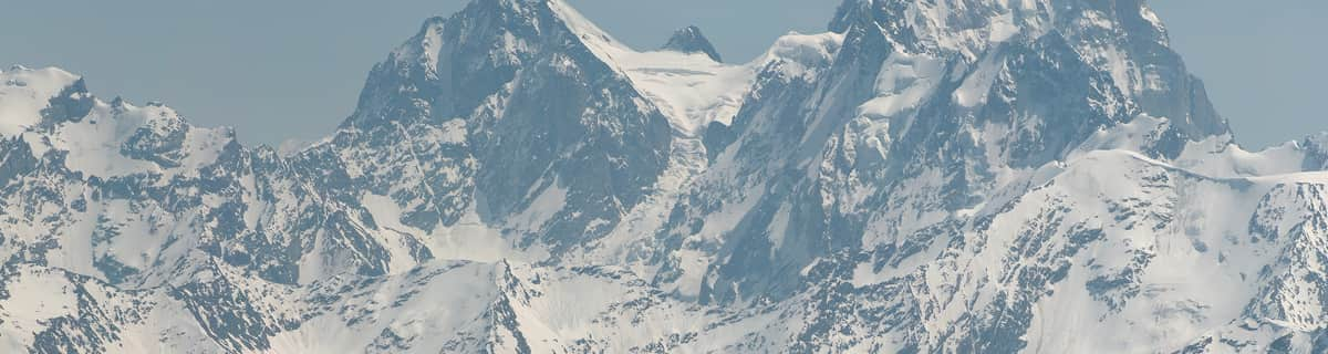
Massive Snowfall in the Alps
A huge snowfall is underway in the Alps, by far the biggest of the 24-25 season.
Please sign in with your Snow-Forecast account details below.


Brandnertal (Brand und Bürserberg) Weather (Next 3 days): The snow forecast for Brandnertal (Brand und Bürserberg) is: Moderate rain (total 16.0mm), heaviest on Mon night. Very mild (max 11°C on Sat afternoon, min 3°C on Mon night). Wind will be generally light.
Brandnertal (Brand und Bürserberg) Weather (Days 4-6): Heavy rain (total 25.0mm), heaviest during Thu morning. Mild temperatures (max 9°C on Wed afternoon, min 1°C on Thu night). Wind will be generally light.
| Resort | Snow Depth | Temp. (°C) | Wind (km/h) | Weather | ||
|---|---|---|---|---|---|---|
| Top Lift: | 0.0 m | 2 | ||||
| Middle Lift: | 4 | |||||
| Bottom Lift: | 0.0 m | 4 |
Latest snow reports near Brandnertal (Brand und Bürserberg):
Rain reported from Warth at 1475 metres elevation one km SSE of Warth-Schröcken but it is forecast cold enough for snow at the ski area from Warth-Schröcken
Light rain showers reported from Alberschwende at 715 metres elevation only 3 kms ENE of Alberschwende but it is forecast cold enough for snow at the ski area from Alberschwende
Rain reported from Alberschwende at 715 metres elevation only 3 kms ENE of Alberschwende but it is forecast cold enough for snow at the ski area from Alberschwende

Saturday 19 | Sunday 20 | Monday 21 | Tuesday 22 | Wednesday 23 | Thursday 24 | Friday 25 | |||||||||||||||
AM | PM | night | AM | PM | night | AM | PM | night | AM | PM | night | AM | PM | night | AM | PM | night | AM | PM | night | |
clear | cloudy | some clouds | some clouds | light rain | rain shwrs | cloudy | light rain | mod. rain | light rain | light rain | cloudy | cloudy | light rain | light rain | light rain | light rain | light snow | light snow | light rain | light snow | |
km/h | |||||||||||||||||||||
Snow map |  |  |  |  |  |  |  | ||||||||||||||
— | — | — | — | — | — | — | — | — | — | — | — | — | — | — | — | — | 1.0 | — | — | 3 | |
— | — | — | — | 2.0 | 1.0 | — | 3 | 10 | 3 | 2.0 | — | — | 2.0 | 3 | 5 | 2.0 | 8 | 1.0 | 3 | — | |
max°C | 9 | 11 | 8 | 10 | 8 | 5 | 5 | 4 | 4 | 4 | 6 | 6 | 6 | 9 | 7 | 4 | 5 | 3 | 2 | 4 | 1 |
min°C | 5 | 11 | 5 | 6 | 5 | 4 | 4 | 4 | 3 | 3 | 5 | 5 | 5 | 8 | 5 | 4 | 5 | 1 | 1 | 2 | -1 |
3 | 10 | 2 | 4 | 4 | 3 | 4 | 3 | 3 | 3 | 5 | 5 | 5 | 7 | 4 | 4 | 4 | 1 | 1 | 0 | -1 | |
56 | 52 | 68 | 56 | 96 | 81 | 90 | 99 | 96 | 97 | 87 | 96 | 91 | 78 | 96 | 97 | 93 | 97 | 97 | 99 | 98 | |
2850 | 2650 | 2550 | 2700 | 2450 | 2350 | 2300 | 2300 | 2150 | 2300 | 2500 | 2350 | 2450 | 2650 | 2400 | 2200 | 2200 | 1750 | 1750 | 1850 | 1400 | |
6:26 | — | — | 6:24 | — | — | 6:22 | — | — | 6:20 | — | — | 6:18 | — | — | 6:18 | — | — | 6:16 | — | — | |
— | — | 8:14 | — | — | 8:15 | — | — | 8:16 | — | — | 8:17 | — | — | 8:19 | — | — | 8:21 | — | — | 8:22 | |
Moderate rain (total 16.0mm), heaviest on Mon night. Very mild (max 11°C on Sat afternoon, min 3°C on Mon night). Wind will be generally light.
Heavy rain (total 25.0mm), heaviest during Thu morning. Mild temperatures (max 9°C on Wed afternoon, min 1°C on Thu night). Wind will be generally light.
Latest snow reports near Brandnertal (Brand und Bürserberg):
Rain reported from Warth at 1475 metres elevation one km SSE of Warth-Schröcken but it is forecast cold enough for snow at the ski area from Warth-Schröcken
Light rain showers reported from Alberschwende at 715 metres elevation only 3 kms ENE of Alberschwende but it is forecast cold enough for snow at the ski area from Alberschwende
Rain reported from Alberschwende at 715 metres elevation only 3 kms ENE of Alberschwende but it is forecast cold enough for snow at the ski area from Alberschwende
| Top snow depth: | 0 cm |
|---|---|
| Bottom snow depth: | 0 cm |
| Fresh snowfall depth: | 5 cm |
| Last snowfall: | 18 Apr 2025 |
| Snow Alerts | Create Alert |
0.1 | Bluebird Powder days Fresh snow, mostly sunny, light wind. |
|---|---|
0.6 | Powder days Fresh snow, limited sun, any wind. |
0.2 | Bluebird days Average snow, mostly sunny, light wind. |
The above table gives the weather forecast for Brandnertal (Brand und Bürserberg) at the specific elevation of 1446 m. Our sophisticated weather models allow us to provide snow forecasts for the top, middle and bottom ski stations of Brandnertal (Brand und Bürserberg). To access the weather forecasts for the other elevations, use the tab navigation above the table. For a wider view of the weather, check out the Weather Map of Austria.
Click here to read further information on freezing levels and how we forecast our temperatures.
Resort name is also written as Brandnertal.
Overall 4.1 Based on 4 votes and 3 reviews
This is a fantastic family resort. We ski all over Europe with our 3 children and we come back to this resort at least once a year (for the last 10 years). It's quiet, it's got a lot of very good runs and it's good value (not cheap but you get value for money). The snow fall is reliable and frequent. If you want nightlife go to St Anton. Come here if you want a great week of skiing in a friendly well run clean safe resort with good lifts and decent mountain restaurants which will not bankrupt you go to Brand
Mike SHAW from United Kingdom writes:
This is a fantastic family resort. We ski all over Europe with our 3 children and we come back to this resort at least once a year (for the last 10 years). It's quiet, it's got a lot of very good runs and it's good value (not cheap but you get value for money). The snow fall is reliable and frequent. If you want nightlife go to St Anton. Come here if you want a great week of skiing in a friendly well run clean safe resort with good lifts and decent mountain restaurants which will not bankrupt you go to Brand
Read 2 more reviews of Brandnertal (Brand und Bürserberg) or submit your own
The Brandnertal (Brand und Bürserberg) skiing weather widget is available to embed on external websites free of charge. It provides a daily summary of our Brandnertal (Brand und Bürserberg) snow forecast and current weather conditions. Simply go to the feed configuration page and follow the 3 simple steps to grab the custom html code snippet and paste it into your own site. You can choose the snow forecast elevation (summit, mid-mountain or bottom lift) and metric/imperial units for the snow forecast feed to suit your own website…. Click here to get the code.
View detailed snow forecast for Brandnertal (Brand und Bürserberg) at:
snow-forecast.com


 Nearest