

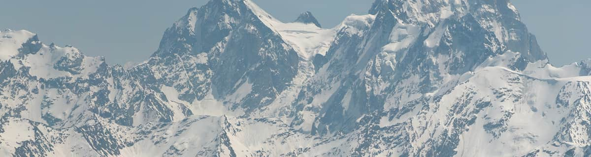
Massive Snowfall in the Alps
A huge snowfall is underway in the Alps, by far the biggest of the 24-25 season.
Please sign in with your Snow-Forecast account details below.


Brandnertal (Brand und Bürserberg) Weather (Next 3 days): The snow forecast for Brandnertal (Brand und Bürserberg) is: Moderate rain (total 16.0mm), heaviest on Sun afternoon. Very mild (max 14°C on Sun morning, min 5°C on Sun night). Wind will be generally light.
Brandnertal (Brand und Bürserberg) Weather (Days 4-6): Heavy rain (total 43.0mm), heaviest during Thu night. Mild temperatures (max 9°C on Tue night, min 4°C on Thu night). Wind will be generally light.
| Resort | Snow Depth | Temp. (°C) | Wind (km/h) | Weather | ||
|---|---|---|---|---|---|---|
| Top Lift: | 0.0 m | 5 | ||||
| Middle Lift: | 8 | |||||
| Bottom Lift: | 0.0 m | 10 |
Latest snow reports near Brandnertal (Brand und Bürserberg):

Sunday 20 | Monday 21 | Tuesday 22 | Wednesday 23 | Thursday 24 | Friday 25 | ||||||||||||||
night | AM | PM | night | AM | PM | night | AM | PM | night | AM | PM | night | AM | PM | night | AM | PM | night | |
some clouds | some clouds | light rain | light rain | light rain | light rain | light rain | light rain | light rain | light rain | light rain | light rain | mod. rain | light rain | light rain | heavy rain | light rain | light rain | light rain | |
km/h | |||||||||||||||||||
Snow map |  |  |  |  |  |  |  | ||||||||||||
— | — | — | — | — | — | — | — | — | — | — | — | — | — | — | — | — | — | — | |
— | — | 2.0 | 3 | 1.0 | 2.0 | 4 | 2.0 | 2.0 | 4 | 2.0 | 4 | 6 | 2.0 | 2.0 | 14 | 5 | 4 | 3 | |
max°C | 10 | 14 | 14 | 6 | 10 | 12 | 9 | 9 | 13 | 9 | 8 | 8 | 7 | 7 | 7 | 6 | 4 | 5 | 4 |
min°C | 6 | 9 | 10 | 5 | 7 | 12 | 8 | 8 | 11 | 8 | 8 | 8 | 7 | 7 | 7 | 4 | 4 | 4 | 3 |
4 | 7 | 9 | 4 | 7 | 12 | 8 | 8 | 10 | 8 | 8 | 8 | 7 | 7 | 6 | 4 | 4 | 4 | 3 | |
74 | 51 | 88 | 90 | 81 | 73 | 95 | 89 | 81 | 97 | 98 | 97 | 99 | 97 | 99 | 99 | 100 | 100 | 99 | |
2600 | 2650 | 2550 | 2150 | 2350 | 2550 | 2250 | 2250 | 2550 | 2400 | 2300 | 2300 | 2100 | 2100 | 2050 | 1700 | 1600 | 1650 | 1650 | |
— | 6:24 | — | — | 6:22 | — | — | 6:20 | — | — | 6:18 | — | — | 6:18 | — | — | 6:16 | — | — | |
— | — | — | 8:15 | — | — | 8:16 | — | — | 8:17 | — | — | 8:19 | — | — | 8:21 | — | — | 8:22 | |
Moderate rain (total 16.0mm), heaviest on Sun afternoon. Very mild (max 14°C on Sun morning, min 5°C on Sun night). Wind will be generally light.
Heavy rain (total 43.0mm), heaviest during Thu night. Mild temperatures (max 9°C on Tue night, min 4°C on Thu night). Wind will be generally light.
Latest snow reports near Brandnertal (Brand und Bürserberg):
| Top snow depth: | 0 cm |
|---|---|
| Bottom snow depth: | 0 cm |
| Fresh snowfall depth: | 5 cm |
| Last snowfall: | 18 Apr 2025 |
| Snow Alerts | Create Alert |
0.0 | Bluebird Powder days Fresh snow, mostly sunny, light wind. |
|---|---|
0.4 | Powder days Fresh snow, limited sun, any wind. |
0.0 | Bluebird days Average snow, mostly sunny, light wind. |
The above table gives the weather forecast for Brandnertal (Brand und Bürserberg) at the specific elevation of 891 m. Our sophisticated weather models allow us to provide snow forecasts for the top, middle and bottom ski stations of Brandnertal (Brand und Bürserberg). To access the weather forecasts for the other elevations, use the tab navigation above the table. For a wider view of the weather, check out the Weather Map of Austria.
Click here to read further information on freezing levels and how we forecast our temperatures.
Resort name is also written as Brandnertal.
Overall 4.1 Based on 4 votes and 3 reviews
This area of Austria is fantastic. In winter or summer there are always a large amount of activities to take part in and sights to see. The views of the area are some of the best in the alpine region. Visit in summer and you can ride the ski lifts to some of the highest points and then take a walk back down to ground level whilst taking in some amazing views. Cameras are essential as there are a lot of good photographic opportunities. There are many traditional villages and farms in the local area that always welcome visitors. This area is ideal for visitors of al ages as there are so many attractions. The surrounding area provides a good home for many different types of wild life that are easily seen from the ski lifts.
Mark from United Kingdom writes:
This area of Austria is fantastic. In winter or summer there are always a large amount of activities to take part in and sights to see. The views of the area are some of the best in the alpine region. Visit in summer and you can ride the ski lifts to some of the highest points and then take a walk back down to ground level whilst taking in some amazing views. Cameras are essential as there are a lot of good photographic opportunities. There are many traditional villages and farms in the local area that always welcome visitors. This area is ideal for visitors of al ages as there are so many attractions. The surrounding area provides a good home for many different types of wild life that are easily seen from the ski lifts.
Read 2 more reviews of Brandnertal (Brand und Bürserberg) or submit your own
The Brandnertal (Brand und Bürserberg) skiing weather widget is available to embed on external websites free of charge. It provides a daily summary of our Brandnertal (Brand und Bürserberg) snow forecast and current weather conditions. Simply go to the feed configuration page and follow the 3 simple steps to grab the custom html code snippet and paste it into your own site. You can choose the snow forecast elevation (summit, mid-mountain or bottom lift) and metric/imperial units for the snow forecast feed to suit your own website…. Click here to get the code.
View detailed snow forecast for Brandnertal (Brand und Bürserberg) at:
snow-forecast.com


 Nearest