


View forecast
Val Senales (Schnalstal) at 3200 m altitude
Issued by Snow-Forecast.com at: 7 pm (local time) / 27 Apr 2024
Now
Sunday 28 | Monday 29 | Tuesday 30 | Wednesday 1 | Thursday 2 | Friday 3 | ||||||||||||||
night | AM | PM | night | AM | PM | night | AM | PM | night | AM | PM | night | AM | PM | night | AM | PM | night | |
light snow | light snow | cloudy | some clouds | clear | clear | clear | clear | cloudy | some clouds | some clouds | some clouds | light snow | some clouds | light snow | mod. snow | mod. snow | light snow | heavy snow | |
km/h | |||||||||||||||||||
Snow map |  |  |  |  |  |  |  | ||||||||||||
1.0 | — | — | — | — | — | — | — | — | — | — | — | — | — | 2.0 | 7 | 6 | 2.0 | 14 | |
— | — | — | — | — | — | — | — | — | — | — | — | — | — | — | — | — | — | — | |
max°C | -7 | -5 | -3 | -2 | -2 | -1 | -2 | -2 | -1 | -1 | -2 | -1 | -1 | -2 | -2 | -3 | -7 | -8 | -8 |
min°C | -7 | -6 | -4 | -3 | -2 | -2 | -2 | -2 | -1 | -2 | -2 | -1 | -2 | -2 | -2 | -6 | -9 | -8 | -9 |
-13 | -12 | -10 | -8 | -6 | -6 | -6 | -6 | -5 | -6 | -6 | -5 | -6 | -4 | -5 | -11 | -13 | -12 | -9 | |
94 | 97 | 95 | 52 | 21 | 66 | 73 | 67 | 72 | 65 | 78 | 74 | 71 | 85 | 99 | 99 | 90 | 97 | 97 | |
2000 | 2300 | 2650 | 2600 | 2950 | 3000 | 2800 | 2950 | 3100 | 2900 | 2900 | 3100 | 2800 | 2900 | 2900 | 2400 | 1950 | 2150 | 1900 | |
— | 6:05 | — | — | 6:03 | — | — | 6:01 | — | — | 6:01 | — | — | 5:58 | — | — | 5:58 | — | — | |
— | — | — | 8:22 | — | — | 8:22 | — | — | 8:24 | — | — | 8:25 | — | — | 8:27 | — | — | 8:29 | |
Next 0-3 days weather summary:
A dusting of new snow. Temperatures will be below freezing (max -1°C on Mon afternoon, min -7°C on Sat night). Wind will be generally light.
Next 4-6 days weather summary:
A moderate fall of snow, heaviest on Fri morning. Temperatures will be below freezing (max -1°C on Tue night, min -9°C on Fri morning). Wind will be generally light.
Popular Val Senales (Schnalstal) Pages
Snow Radar
Submit a reportLatest snow reports near Val Senales (Schnalstal):
28 km away from Val Senales (Schnalstal)
4 hours ago
Rain reported from Pitztaler Gletscher at 2848 metres elevation only 4 kms SSE of Pitztal Glacier but it is forecast cold enough for snow at higher elevations in the ski area from Pitztal Glacier
20 km away from Val Senales (Schnalstal)
5 hours agoRain reported from Obergurgl at 1937 metres elevation one km SSE of Obergurgl but it is forecast cold enough for snow at the ski area from Obergurgl
20 km away from Val Senales (Schnalstal)
7 hours agoLight rain showers reported from Obergurgl at 1937 metres elevation one km SSE of Obergurgl but it is forecast cold enough for snow at higher elevations in the ski area from Obergurgl
Val Senales (Schnalstal) Snow Conditions
| Top snow depth: | 0 cm |
|---|---|
| Bottom snow depth: | 0 cm |
| Fresh snowfall depth: | 5 cm |
| Last snowfall: | 26 Apr 2024 |
| Snow Alerts | Create Alert |
Other resorts in Italy are reporting: powder (0) / good piste (0)
Snow-Forecast Partner Offers
Show your business here
Snow History
Week 4 of April has on average:
0.7 | Bluebird Powder days Fresh snow, mostly sunny, light wind. |
|---|---|
2.8 | Powder days Fresh snow, limited sun, any wind. |
1.3 | Bluebird days Average snow, mostly sunny, light wind. |

Val Senales (Schnalstal) Forecast Snowfall


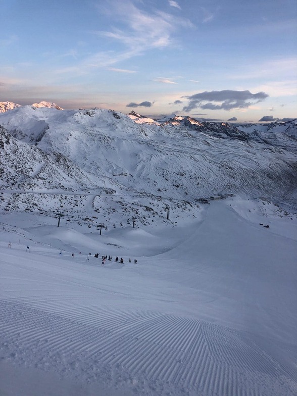
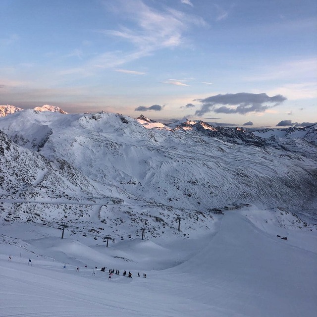
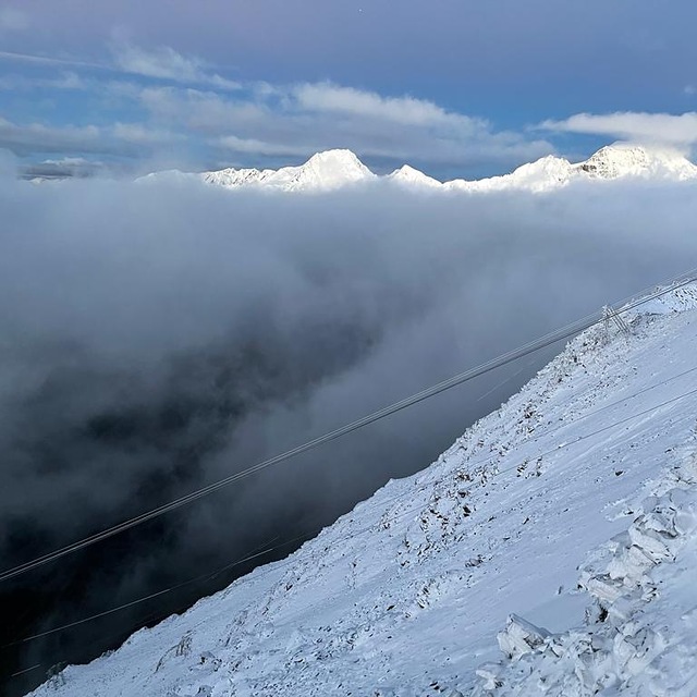
Photos of Val Senales (Schnalstal)
snow by Michelle Allison
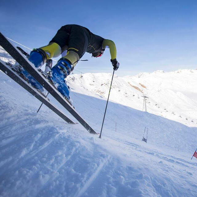
Not current conditions. by Snow Forecast Admin
Current state on 3212 meters altitude by Dama
Other resorts in Italy are reporting: powder (0) / good piste (0)
The above table gives the weather forecast for Val Senales (Schnalstal) at the specific elevation of 3200 m. Our sophisticated weather models allow us to provide snow forecasts for the top, middle and bottom ski stations of Val Senales (Schnalstal). To access the weather forecasts for the other elevations, use the tab navigation above the table. For a wider view of the weather, check out the Weather Map of Italy.
Click here to read further information on freezing levels and how we forecast our temperatures.
Resort name is also written as Val Senales.
Visitor Reviews of Val Senales (Schnalstal)
Overall 4.4 Based on 5 votes and 2 reviews
- Snowsure
- Variety of pistes
- Vote
- timmay from United States writes:
Early season sking/snowboarding a big plus very icy though (who'd guess, its a glacier!) would be much better later in season, but too many other fantastic lacations near by in Italy and Austria to compete with. Does have a terrain park. Found myself spending nearly the entire day at the park.
Visitor Reviews of Val Senales (Schnalstal)
timmay from United States writes:
Early season sking/snowboarding a big plus very icy though (who'd guess, its a glacier!) would be much better later in season, but too many other fantastic lacations near by in Italy and Austria to compete with. Does have a terrain park. Found myself spending nearly the entire day at the park.
Read 1 more reviews of Val Senales (Schnalstal) or submit your own
Free Snow-Forecast.com weather widget for your website
The Val Senales (Schnalstal) skiing weather widget is available to embed on external websites free of charge. It provides a daily summary of our Val Senales (Schnalstal) snow forecast and current weather conditions. Simply go to the feed configuration page and follow the 3 simple steps to grab the custom html code snippet and paste it into your own site. You can choose the snow forecast elevation (summit, mid-mountain or bottom lift) and metric/imperial units for the snow forecast feed to suit your own website…. Click here to get the code.
View detailed snow forecast for Val Senales (Schnalstal) at:
snow-forecast.com

 Nearest