


View forecast
Keystone at 3717 m altitude
Issued by Snow-Forecast.com at: 11 pm (local time) / 18 May 2024
Now
Sunday 19 | Monday 20 | Tuesday 21 | Wednesday 22 | Thursday 23 | Friday 24 | ||||||||||||||
night | AM | PM | night | AM | PM | night | AM | PM | night | AM | PM | night | AM | PM | night | AM | PM | night | |
snow shwrs | some clouds | risk thun- der | snow shwrs | clear | cloudy | snow shwrs | snow shwrs | light snow | snow shwrs | some clouds | clear | clear | clear | some clouds | some clouds | light rain | some clouds | clear | |
km/h | |||||||||||||||||||
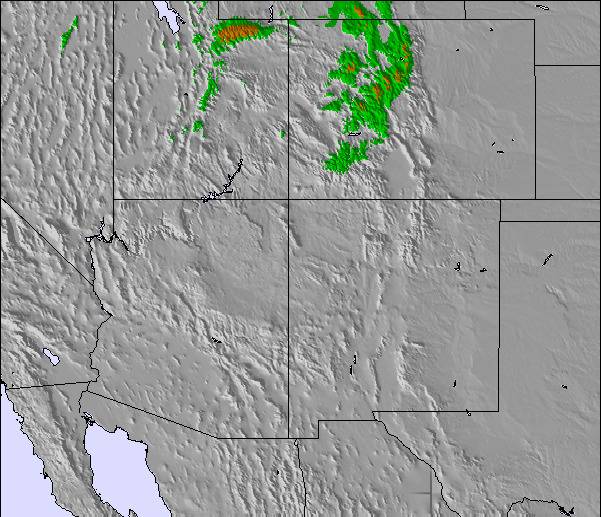
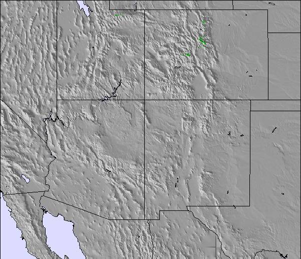
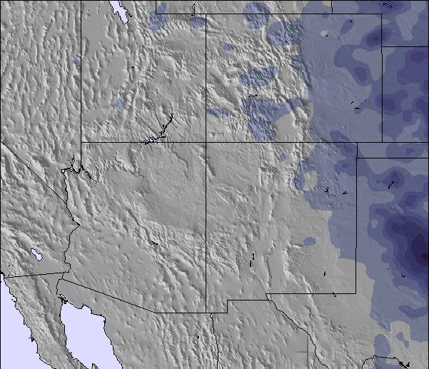
Snow map |  |  |  |  |  |  | 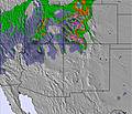 | ||||||||||||
— | — | — | — | — | — | — | — | 2.0 | — | — | — | — | — | — | — | — | — | — | |
— | — | 2.0 | — | — | — | — | — | — | — | — | — | — | — | — | — | 1.0 | — | — | |
max°C | 0 | 5 | 5 | 0 | 6 | 6 | 0 | 0 | -3 | -7 | 2 | 3 | -2 | 5 | 5 | 1 | 4 | 6 | 1 |
min°C | -2 | 3 | 5 | -2 | 3 | 5 | -5 | -2 | -5 | -8 | -3 | 2 | -3 | 3 | 5 | -3 | 2 | 6 | -2 |
-6 | -2 | 1 | -7 | -2 | 0 | -11 | -9 | -13 | -15 | -8 | -3 | -7 | -3 | 0 | -8 | -4 | 1 | -7 | |
86 | 47 | 45 | 61 | 42 | 35 | 63 | 47 | 71 | 74 | 35 | 32 | 42 | 27 | 24 | 50 | 45 | 32 | 50 | |
3350 | 4100 | 4300 | 3550 | 4100 | 4400 | 3300 | 3500 | 3300 | 2500 | 3350 | 4100 | 3250 | 4050 | 4350 | 3600 | 3950 | 4400 | 3750 | |
— | 5:45 | — | — | 5:43 | — | — | 5:43 | — | — | 5:43 | — | — | 5:41 | — | — | 5:41 | — | — | |
— | — | 8:15 | — | — | 8:15 | — | — | 8:16 | — | — | 8:17 | — | — | 8:17 | — | — | 8:19 | — | |
Next 0-3 days weather summary:
Light rain (total 2.0mm) at first, then becoming colder with a dusting of snow on Tue afternoon. Freeze-thaw conditions (max 6°C on Mon morning, min -5°C on Mon night). Winds increasing (light winds from the SW on Sat night, fresh winds from the SW by Tue morning).
Next 4-6 days weather summary:
Some drizzle, heaviest during Fri morning. Freeze-thaw conditions (max 6°C on Fri afternoon, min -8°C on Tue night). Winds increasing (light winds from the SW on Wed night, fresh winds from the WSW by Thu afternoon).
Popular Keystone Pages
Snow Radar
Submit a reportLatest snow reports near Keystone:
21 km away from Keystone
4 hours ago
Light snow reported from Red Cliff Pass Airport at 11732 feet one mile SSE of Copper Mountain Ski Resort from Copper Mountain
Keystone Snow Conditions
| Top snow depth: | 0 cm |
|---|---|
| Bottom snow depth: | 0 cm |
| Fresh snowfall depth: | — |
| Last snowfall: | 12 May 2024 |
| Snow Alerts | Create Alert |
Other resorts in USA - Colorado are reporting: powder (0) / good piste (0)
Snow-Forecast Partner Offers
Show your business here
Snow History
Week 3 of May has on average:
0.7 | Bluebird Powder days Fresh snow, mostly sunny, light wind. |
|---|---|
0.8 | Powder days Fresh snow, limited sun, any wind. |
0.4 | Bluebird days Average snow, mostly sunny, light wind. |

Keystone Forecast Snowfall
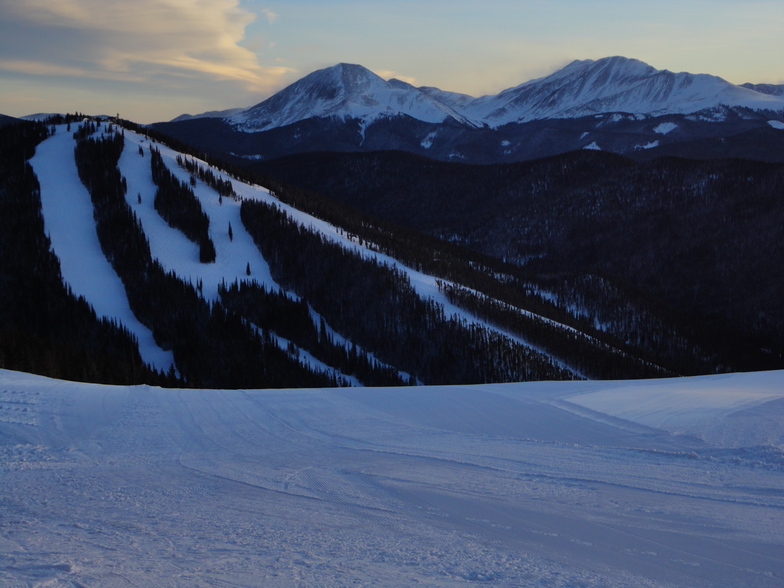
Photos of Keystone
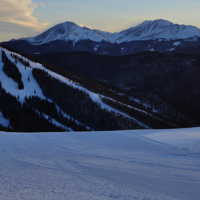
Keystone by Tom
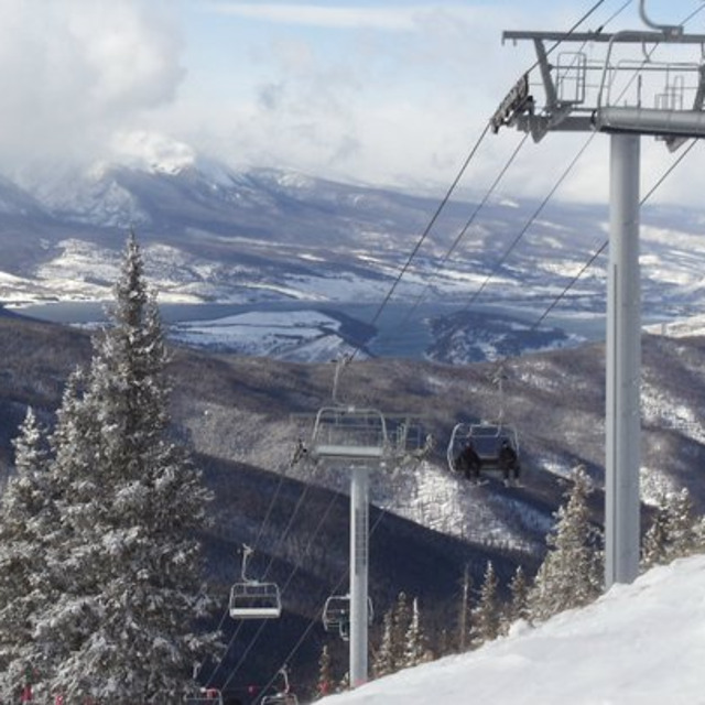
Backside of Keystone by Brian
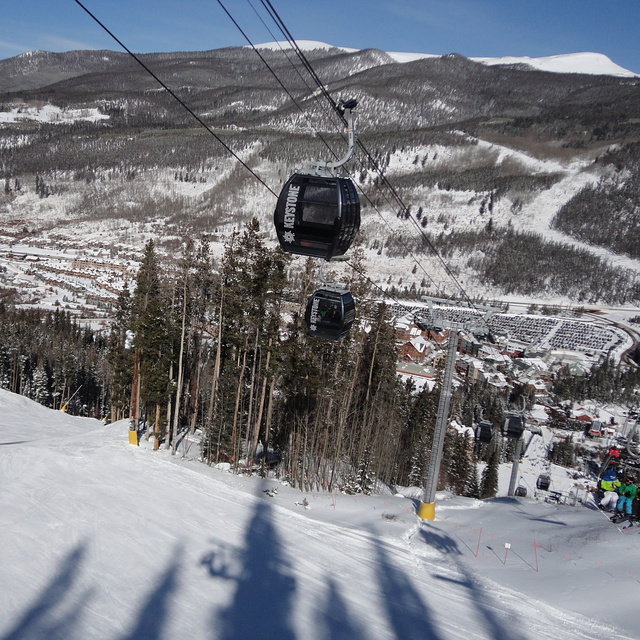
Keystone by Tom
Other resorts in USA - Colorado are reporting: powder (0) / good piste (0)
The above table gives the weather forecast for Keystone at the specific elevation of 3717 m. Our sophisticated weather models allow us to provide snow forecasts for the top, middle and bottom ski stations of Keystone. To access the weather forecasts for the other elevations, use the tab navigation above the table. For a wider view of the weather, check out the Weather Map of United States.
Click here to read further information on freezing levels and how we forecast our temperatures.
Visitor Reviews of Keystone
Overall 3.9 Based on 6 votes and 5 reviews
- Snowsure
- Variety of pistes
- Vote
- Barry Peters from United Kingdom writes:
Summary: Keystone is a very well run friendly ski area. I am a fairly advanced skier who wanted to get better at bumps (moguls). Also good for beginners and good night skiing and fun-park. Pluses at Keystone: Helpful, well organised (this is N America, not Italy after all). Because of the recession and the time of year I went (late March), it was fairly quiet and no/tiny lift queues. Enough skiing unless you are really hard core. You can always go the the nearby resorts of Vail, Beaver Creek, Breckenbridge if you want (same lift pass but need to take bus or go by car). Lots of accommodation nearby - little that is ski-in, ski-out, but little problem unless you are lazy or can't walk & hold skis at the same time. Superb free bus chuttles that take you all around Keystone. Well-organised night skiing. Fantastic ski school (I used Mountain Lodge and they were the best I have used - good for all levels) Minuses at Keystone: The elevation can take getting used to for some. The cost of the lift pass - ouch. Made worse for us Europeans by the terrible exchange rate. However, a season pass for all the local resorts costs roughly the same as a week pass so actually it is cheap if you go for a few weeks. Barry Peters
Visitor Reviews of Keystone
Barry Peters from United Kingdom writes:
Summary:
Keystone is a very well run friendly ski area.
I am a fairly advanced skier who wanted to get better at bumps (moguls). Also good for beginners and good night skiing and fun-park.
Pluses at Keystone:
Helpful, well organised (this is N America, not Italy after all).
Because of the recession and the time of year I went (late March), it was fairly quiet and no/tiny lift queues.
Enough skiing unless you are really hard core. You can always go the the nearby resorts of Vail, Beaver Creek, Breckenbridge if you want (same lift pass but need to take bus or go by car).
Lots of accommodation nearby - little that is ski-in, ski-out, but little problem unless you are lazy or can't walk & hold skis at the same time. Superb free bus chuttles that take you all around Keystone.
Well-organised night skiing.
Fantastic ski school (I used Mountain Lodge and they were the best I have used - good for all levels)
Minuses at Keystone:
The elevation can take getting used to for some.
The cost of the lift pass - ouch. Made worse for us Europeans by the terrible exchange rate. However, a season pass for all the local resorts costs roughly the same as a week pass so actually it is cheap if you go for a few weeks.
Barry Peters
Free Snow-Forecast.com weather widget for your website
The Keystone skiing weather widget is available to embed on external websites free of charge. It provides a daily summary of our Keystone snow forecast and current weather conditions. Simply go to the feed configuration page and follow the 3 simple steps to grab the custom html code snippet and paste it into your own site. You can choose the snow forecast elevation (summit, mid-mountain or bottom lift) and metric/imperial units for the snow forecast feed to suit your own website…. Click here to get the code.
View detailed snow forecast for Keystone at:
snow-forecast.com

 Nearest