


View forecast
Keystone at 3240 m altitude
Issued by Snow-Forecast.com at: 11 am (local time) / 06 May 2024
Now
Monday 6 | Tuesday 7 | Wednesday 8 | Thursday 9 | Friday 10 | Saturday 11 | Sunday 12 | |||||||||||||||
AM | PM | night | AM | PM | night | AM | PM | night | AM | PM | night | AM | PM | night | AM | PM | night | AM | PM | night | |
light snow | snow shwrs | snow shwrs | light snow | light snow | snow shwrs | light snow | light snow | light snow | light snow | light snow | light snow | light snow | light snow | snow shwrs | clear | rain shwrs | snow shwrs | clear | rain shwrs | snow shwrs | |
km/h | |||||||||||||||||||||
Snow map | 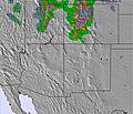 | 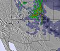 | 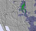 | 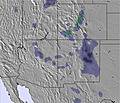 | 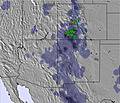 | 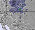 | 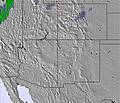 | ||||||||||||||
1.0 | 1.0 | 1.0 | 3 | 5 | 1.0 | — | 1.0 | 5 | 1.0 | 2.0 | 4 | 1.0 | 1.0 | — | — | — | — | — | — | — | |
— | — | — | — | — | — | — | — | — | — | — | — | — | — | — | — | 3 | — | — | 1.0 | — | |
max°C | -6 | -4 | -6 | -4 | -5 | -9 | -5 | -3 | -5 | -1 | 0 | -4 | 0 | 1 | -4 | 3 | 5 | 0 | 6 | 8 | 2 |
min°C | -8 | -4 | -7 | -5 | -6 | -16 | -8 | -3 | -7 | -3 | -1 | -5 | -2 | 0 | -6 | 0 | 3 | -3 | 3 | 7 | 0 |
-17 | -12 | -16 | -14 | -15 | -20 | -13 | -7 | -10 | -7 | -4 | -7 | -4 | -2 | -6 | 0 | 1 | -3 | 1 | 5 | 0 | |
73 | 64 | 67 | 74 | 81 | 70 | 66 | 62 | 96 | 76 | 77 | 95 | 87 | 78 | 92 | 67 | 51 | 83 | 51 | 42 | 82 | |
2100 | 2700 | 2200 | 2500 | 2500 | 1600 | 1950 | 2800 | 2450 | 2700 | 3200 | 2550 | 2950 | 3300 | 2550 | 3200 | 3800 | 2900 | 3700 | 4200 | 3250 | |
5:58 | — | — | 5:56 | — | — | 5:54 | — | — | 5:54 | — | — | 5:52 | — | — | 5:52 | — | — | 5:50 | — | — | |
— | 8:02 | — | — | 8:04 | — | — | 8:05 | — | — | 8:06 | — | — | 8:07 | — | — | 8:07 | — | — | 8:08 | — | |
Next 0-3 days weather summary:
A moderate fall of snow, heaviest on Tue afternoon. Temperatures will be below freezing (max -3°C on Wed afternoon, min -16°C on Tue night). Winds decreasing (strong winds from the W on Tue morning, calm by Wed night).
Next 4-6 days weather summary:
A light covering of new snow, mostly falling on Thu night. Becoming milder with light rain (total 3.0mm) on Sat afternoon. Freeze-thaw conditions (max 5°C on Sat afternoon, min -6°C on Fri night). Wind will be generally light.
Popular Keystone Pages
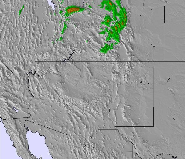
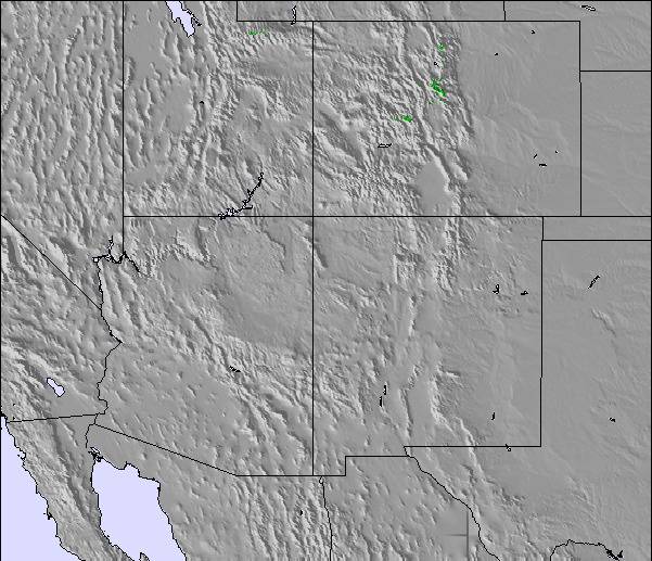
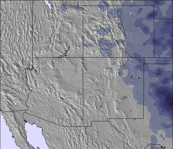
Snow Radar
Submit a reportLatest snow reports near Keystone:
21 km away from Keystone
7 hours ago
Light snow reported from Red Cliff Pass Airport at 11732 feet one mile SSE of Copper Mountain Ski Resort from Copper Mountain
21 km away from Keystone
10 hours agoModerate snow reported from Red Cliff Pass Airport at 11732 feet one mile SSE of Copper Mountain Ski Resort from Copper Mountain
Keystone Snow Conditions
| Top snow depth: | 0 cm |
|---|---|
| Bottom snow depth: | 0 cm |
| Fresh snowfall depth: | 7 cm |
| Last snowfall: | 5 May 2024 |
| Snow Alerts | Create Alert |
Other resorts in USA - Colorado are reporting: powder (0) / good piste (1)
Snow-Forecast Partner Offers
Show your business here
Snow History
Week 1 of May has on average:
0.3 | Bluebird Powder days Fresh snow, mostly sunny, light wind. |
|---|---|
0.7 | Powder days Fresh snow, limited sun, any wind. |
0.4 | Bluebird days Average snow, mostly sunny, light wind. |
Keystone Forecast Snowfall
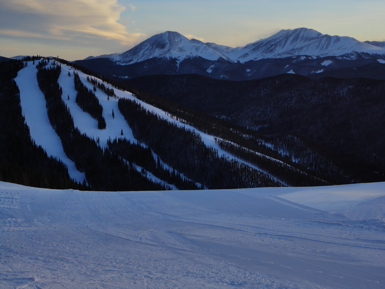
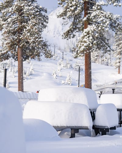
Photos of Keystone
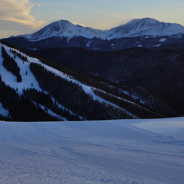
Keystone by Tom
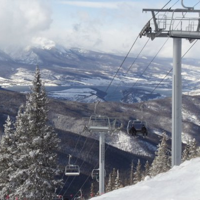
Backside of Keystone by Brian
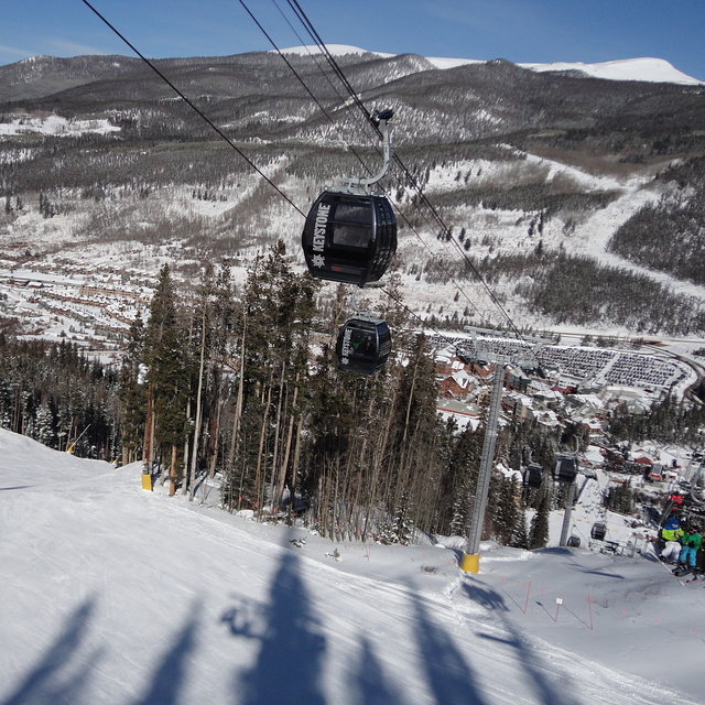
Keystone by Tom
Other resorts in USA - Colorado are reporting: powder (0) / good piste (1)
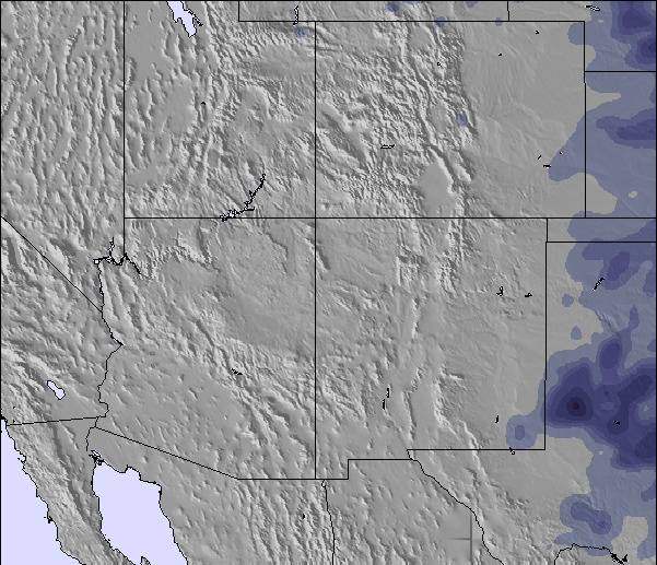
The above table gives the weather forecast for Keystone at the specific elevation of 3240 m. Our sophisticated weather models allow us to provide snow forecasts for the top, middle and bottom ski stations of Keystone. To access the weather forecasts for the other elevations, use the tab navigation above the table. For a wider view of the weather, check out the Weather Map of United States.
Click here to read further information on freezing levels and how we forecast our temperatures.
Visitor Reviews of Keystone
Overall 3.9 Based on 6 votes and 5 reviews
- Snowsure
- Variety of pistes
- Vote
- Michael from Australia writes:
Skied Keystone Jan 2013. I found this resort to be well organised and family friendly. The snow was excellent considering lack of recent snowfall but the high altitude kept it in pristine condition. As an advanced skier I was happy with the runs on offer and loved those long green/blue runs back to the village. Good on-mountain facilities available and lift queues pretty much non existent once on the mountain. Price wise, this resort is no different from any other big resort. Looking forward to going back again during 2016.
Visitor Reviews of Keystone
Michael from Australia writes:
Skied Keystone Jan 2013. I found this resort to be well organised and family friendly. The snow was excellent considering lack of recent snowfall but the high altitude kept it in pristine condition. As an advanced skier I was happy with the runs on offer and loved those long green/blue runs back to the village. Good on-mountain facilities available and lift queues pretty much non existent once on the mountain. Price wise, this resort is no different from any other big resort. Looking forward to going back again during 2016.
Free Snow-Forecast.com weather widget for your website
The Keystone skiing weather widget is available to embed on external websites free of charge. It provides a daily summary of our Keystone snow forecast and current weather conditions. Simply go to the feed configuration page and follow the 3 simple steps to grab the custom html code snippet and paste it into your own site. You can choose the snow forecast elevation (summit, mid-mountain or bottom lift) and metric/imperial units for the snow forecast feed to suit your own website…. Click here to get the code.
View detailed snow forecast for Keystone at:
snow-forecast.com

 Nearest