PyeongChang-Yongpyong snow
Ski South Korea

PyeongChang-Yongpyong Snow Forecast

Weather Forecast for Yongpyong at 1107 m
Issued: 8 am  27 Apr 2025 (local time)

Popular PyeongChang-Yongpyong Pages

New snow in PyeongChang-Yongpyong

2.0cm0.8in
Fri 2nd (NGT)
The snow forecast for PyeongChang-Yongpyong is: Mostly dry. Very mild (max 12°C on Tue night, min 4°C on Mon night). Winds decreasing (near gales from the WSW on Sun afternoon, light winds from the WNW by Tue morning).

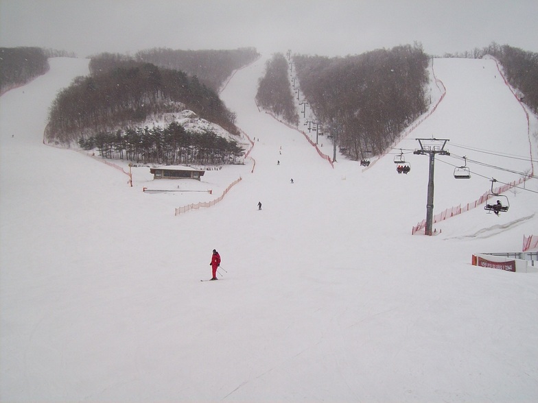
PyeongChang-Yongpyong Weather (Next 3 days): The snow forecast for PyeongChang-Yongpyong is: Mostly dry. Very mild (max 12°C on Tue night, min 4°C on Mon night). Winds decreasing (near gales from the WSW on Sun afternoon, light winds from the WNW by Tue morning).

PyeongChang-Yongpyong Weather (Days 4-6): Heavy rain (total 26.0mm), heaviest during Fri night. Later becoming colder with a dusting of snow on Fri night. Very mild (max 15°C on Wed afternoon, min 2°C on Fri night). Winds decreasing (severe gales from the W on Thu night, light winds from the SW by Fri night).


PyeongChang-Yongpyong Live Weather

ResortSnow DepthTemp. (°C)Wind (km/h)Weather
Top Lift: 
8
65
cloud
Middle Lift: 
11
55
cloud
Bottom Lift: 
15
45
cloud
Powered by Snow-Forecast.comSnow-Forecast.com
6 Day Forecast
Issued: 8 am 27 Apr 2025 / Updates in ::
Change Forecast Height
Choose Forecast
Last 6 daysScroll left for last 6 daysNow
Sunday
27
Monday
28
Tuesday
29
Wednesday
30
Thursday
1
Friday
2
Saturday
3
AM
PM
night
AM
PM
night
AM
PM
night
AM
PM
night
AM
PM
night
AM
PM
night
AM
PM
night
cloud
cloud
part cloud
clear
clear
clear
clear
part cloud
part cloud
part cloud
part cloud
clear
part cloud
mod rain
rain showers
part cloud
rain showers
light snow
light snow
part cloud
clear
cloudy
cloudy
some clouds
clear
clear
clear
clear
some clouds
some clouds
some clouds
some clouds
clear
some clouds
mod. rain
rain shwrs
some clouds
rain shwrs
light snow
light snow
some clouds
clear
 km/h
45
WSW
55
WSW
50
W
20
WNW
40
WNW
25
NW
20
WNW
35
W
50
W
40
WSW
30
SW
30
SSW
40
SSW
50
SW
55
W
60
W
50
W
20
SW
25
WNW
30
W
45
WNW
Snow map
 cm 
2.0
1.0
 mm 
10
3
1.0
12
1.0
max°C
11
11
9
7
7
5
9
11
12
14
15
13
12
8
5
8
8
6
3
6
6
min°C
10
10
5
6
6
4
6
10
10
13
14
11
11
8
4
6
7
2
2
5
5
chill°C 
6
5
0
2
1
-1
3
6
6
10
12
7
7
3
-3
-1
2
-4
-3
0
-1
Humid% 
30
33
50
50
34
41
39
41
36
33
30
34
46
96
67
43
39
70
97
89
75
Freezing level (m
2900
2850
2500
1900
1900
1850
2150
2850
3100
3050
3050
3100
3050
2600
1650
2250
2500
1950
1400
1950
2300
topliftbotliftSea lvl1000m2000m3000m4000m5000m
886443581011121196245213414137111141214101718101511612116696
Sunrise
5:35
5:33
5:33
5:31
5:30
5:28
5:28
Sunset
7:10
7:12
7:12
7:13
7:14
7:15
7:15
Popular PyeongChang-Yongpyong Pages

Snow Radar

Latest snow reports near PyeongChang-Yongpyong:

No recent snow reports

No recent snow reports

PyeongChang-Yongpyong Snow Conditions

Top snow depth:
Bottom snow depth:
Fresh snowfall depth:
Last snowfall:14 Apr 2025
Snow AlertsCreate Alert
Other resorts in South Korea are reporting: powder (0) / good piste (0)

Snow-Forecast Partner Offers

Snow History

Week 4 of April has on average:
0.0
Bluebird Powder days
Fresh snow, mostly sunny, light wind.
0.0
Powder days
Fresh snow, limited sun, any wind.
0.1
Bluebird days
Average snow, mostly sunny, light wind.


Snow-Forecast Partner Offers