

Massive Snowfall in the Alps
A huge snowfall is underway in the Alps, by far the biggest of the 24-25 season.
Please sign in with your Snow-Forecast account details below.


Whakapapa Weather (Next 3 days): The snow forecast for Whakapapa is: Moderate rain (total 11.0mm), heaviest on Sun night. Mild temperatures (max 8°C on Sun afternoon, min 4°C on Tue night). Winds decreasing (strong winds from the N on Sun morning, light winds from the NW by Tue morning).
Whakapapa Weather (Days 4-6): Some drizzle, heaviest during Fri afternoon. Freeze-thaw conditions (max 4°C on Wed morning, min 0°C on Wed night). Wind will be generally light.
| Resort | Snow Depth | Temp. (°C) | Wind (km/h) | Weather | ||
|---|---|---|---|---|---|---|
| Top Lift: | 0.0 m | 6 | ||||
| Middle Lift: | 8 | |||||
| Bottom Lift: | 0.0 m | 9 |
Latest snow reports near Whakapapa:

Sunday 20 | Monday 21 | Tuesday 22 | Wednesday 23 | Thursday 24 | Friday 25 | Saturday 26 | |||||||||||||||
AM | PM | night | AM | PM | night | AM | PM | night | AM | PM | night | AM | PM | night | AM | PM | night | AM | PM | night | |
clear | some clouds | light rain | light rain | rain shwrs | rain shwrs | clear | rain shwrs | clear | clear | cloudy | cloudy | cloudy | cloudy | some clouds | clear | rain shwrs | clear | clear | clear | some clouds | |
km/h | |||||||||||||||||||||
Snow map |  |  |  |  |  |  |  | ||||||||||||||
— | — | — | — | — | — | — | — | — | — | — | — | — | — | — | — | — | — | — | — | — | |
— | — | 4 | 2.0 | 2.0 | 2.0 | — | 1.0 | — | — | — | — | — | — | — | — | 1.0 | — | — | — | — | |
max°C | 7 | 8 | 6 | 6 | 6 | 5 | 5 | 5 | 5 | 4 | 2 | 2 | 1 | 1 | 1 | 3 | 3 | 3 | 3 | 4 | 4 |
min°C | 6 | 7 | 5 | 5 | 5 | 5 | 5 | 5 | 4 | 2 | 2 | 0 | 0 | 1 | 0 | 1 | 2 | 2 | 3 | 4 | 3 |
0 | 2 | 1 | 2 | 2 | 1 | 3 | 3 | 1 | 0 | 1 | -4 | -5 | -3 | -3 | -3 | -1 | 0 | 1 | 2 | -1 | |
61 | 62 | 88 | 95 | 86 | 86 | 77 | 83 | 67 | 64 | 84 | 92 | 87 | 97 | 82 | 60 | 56 | 52 | 38 | 37 | 47 | |
3450 | 3500 | 3450 | 3300 | 3350 | 3200 | 3200 | 3100 | 3250 | 3100 | 2650 | 2450 | 2400 | 2450 | 2450 | 2550 | 2650 | 3050 | 3150 | 3250 | 3250 | |
6:48 | — | — | 6:50 | — | — | 6:50 | — | — | 6:52 | — | — | 6:52 | — | — | 6:54 | — | — | 6:54 | — | — | |
— | 5:43 | — | — | 5:42 | — | — | 5:39 | — | — | 5:38 | — | — | 5:37 | — | — | 5:36 | — | — | 5:35 | — | |
Moderate rain (total 11.0mm), heaviest on Sun night. Mild temperatures (max 8°C on Sun afternoon, min 4°C on Tue night). Winds decreasing (strong winds from the N on Sun morning, light winds from the NW by Tue morning).
Some drizzle, heaviest during Fri afternoon. Freeze-thaw conditions (max 4°C on Wed morning, min 0°C on Wed night). Wind will be generally light.
Latest snow reports near Whakapapa:
| Top snow depth: | 0 cm |
|---|---|
| Bottom snow depth: | 0 cm |
| Fresh snowfall depth: | — |
| Last snowfall: | 6 Jan 2025 |
| Snow Alerts | Create Alert |
0.0 | Bluebird Powder days Fresh snow, mostly sunny, light wind. |
|---|---|
0.0 | Powder days Fresh snow, limited sun, any wind. |
0.2 | Bluebird days Average snow, mostly sunny, light wind. |
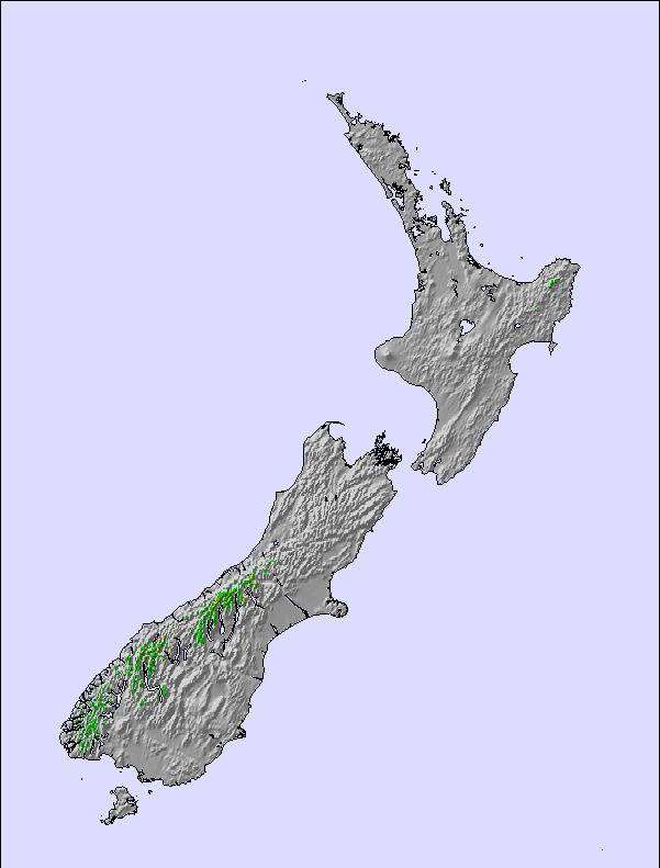
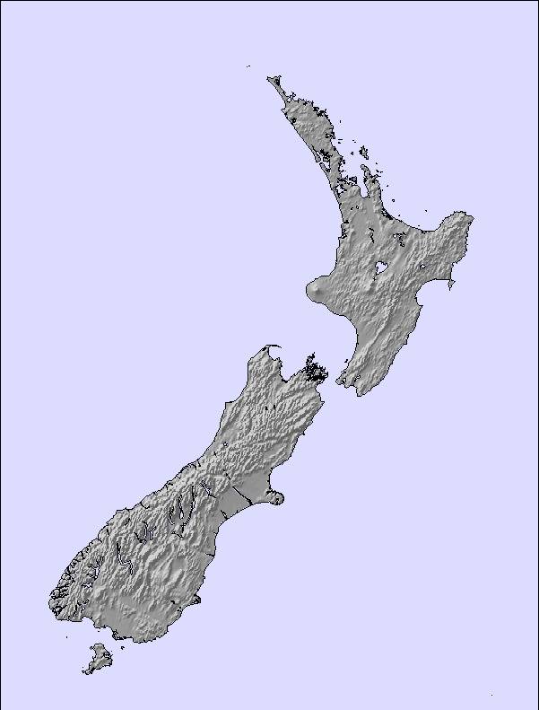
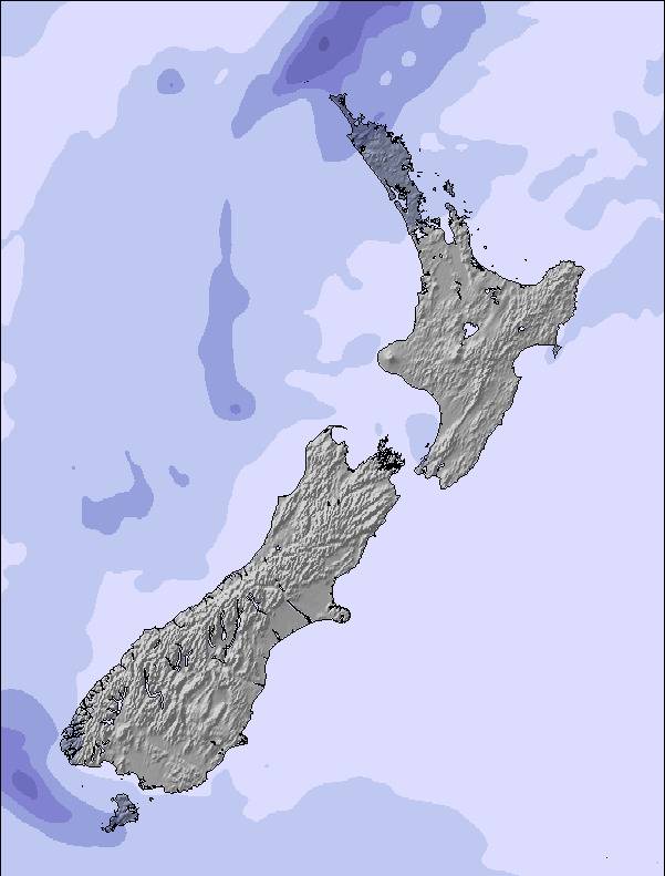
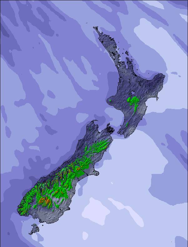
The above table gives the weather forecast for Whakapapa at the specific elevation of 2300 m. Our sophisticated weather models allow us to provide snow forecasts for the top, middle and bottom ski stations of Whakapapa. To access the weather forecasts for the other elevations, use the tab navigation above the table. For a wider view of the weather, check out the Weather Map of New Zealand.
Click here to read further information on freezing levels and how we forecast our temperatures.
Overall 3.2 Based on 41 votes and 58 reviews
Just an appalling badly managed business and facilities. Used to visit Whakapapa regularly in early 2000s. Wow, has it changed for the worst. Incredibly obnoxious and rude staff, filthy and dirty overcrowed facilities. Endless queues for everything from toilets through to hiring, booking. Everything is booked online but they don't staff the facilities with enough staff to cope with the masses. Tiny eateries with huge queues to access food. Happy Valley endless queues for ski gear hire, the line never got shorter in 4 hours we were there. So we decided to take kids onto Happy Valley with the snow passes we had already pre purchased. An hour after being on area up side away from any skiers or snowboarders a very angry and rude staff member aggressively and rudely ordered us and some others to get off the field and go play in the carpark area. She yelled at us, this area is only for skiing and snowboarding. I complained that there was no signage saying we had to ski or snowboard only. She got madder and threatened to trespass us if we didn't go immediately. So we packed up with kids and promptly left. The first day we tried to get up the mountain we drove and were turned away. They had closed the road due to all carparks bring full, open at 9am.... We arrived at 9:20am. Day 1 pass wasted as no shuttle bookings left and three disappointed children. Insufficient carpark facilities and these fill up with freedom sightseers who don't enter the facilities. Or only go to ride the over priced gondola as there is no parking management. Once carpark is full it's one down one up rule, creating huge vehicle queues three quarters of the way down the Bruce Road. This also prevents the private shuttle buses from getting to drop off points in a timely manner. On bad days they close the road completely and turn back everyone except the shuttles. As a result, legitimate customers whom have pre-purchased passes and gear are denied access to the mountain. Just a complete and utter fiasco. So we booked a shuttle $160 for the following day and managed to get on the mountain. Overall, it's not hard to see why the business is in liquidation. Just a poorly run setup. No communication, no signage, rude arrogant narcissistic staff. Hoards of people, dirty rundown facilities, nowhere near enough toilet facilities, bad and grossly over priced fast finger food: $12.50 for chips, $18 for wedges, $9.50 for pies and $8 for sausage roles. Insufficient dinning space, small and very cramped. People are crammed in shoulder to shoulder and kids get stood on and knocked over. So we ate outside. Fortunately a blue sky day with no wind. Terrible snow, I mean it's just groomed ice. Climate change has ruined the mountain. Only found good powder at 1900m or above. Most slopes are closed due to insufficient snow base. Best bring your ice skates as better suited to slopes than skis. My advice would be don't go. Save your money up and visit the South Island. Both Whakapapa and Turoa have been ruined by corporate greed, inept management and extreme overcrowding a with gross under investment in infrastructure poor staff training and hiring of people who have no personality of people skills. As the mountain is managed through multi government agencies Department of Conservation, Waka Kotahi and Ruapehu District Council, in conjunction with local Iwi, there's an environment of complete chaos where nothing changes and nothing improves. New Zealanders really can no longer access this mountain as rampant tourism and sightseeing has ruined it especially with introduction of the gondola ride. Honestly, Ruapehu Ski deserved to go bankrupt, good job too. Shame the government has decided to bail them out to the tune of 5 million. What a waste of tax payers money.
Barry M from New Zealand writes:
Just an appalling badly managed business and facilities. Used to visit Whakapapa regularly in early 2000s. Wow, has it changed for the worst. Incredibly obnoxious and rude staff, filthy and dirty overcrowed facilities. Endless queues for everything from toilets through to hiring, booking. Everything is booked online but they don't staff the facilities with enough staff to cope with the masses. Tiny eateries with huge queues to access food.
Happy Valley endless queues for ski gear hire, the line never got shorter in 4 hours we were there. So we decided to take kids onto Happy Valley with the snow passes we had already pre purchased. An hour after being on area up side away from any skiers or snowboarders a very angry and rude staff member aggressively and rudely ordered us and some others to get off the field and go play in the carpark area. She yelled at us, this area is only for skiing and snowboarding. I complained that there was no signage saying we had to ski or snowboard only. She got madder and threatened to trespass us if we didn't go immediately. So we packed up with kids and promptly left.
The first day we tried to get up the mountain we drove and were turned away. They had closed the road due to all carparks bring full, open at 9am.... We arrived at 9:20am. Day 1 pass wasted as no shuttle bookings left and three disappointed children. Insufficient carpark facilities and these fill up with freedom sightseers who don't enter the facilities. Or only go to ride the over priced gondola as there is no parking management. Once carpark is full it's one down one up rule, creating huge vehicle queues three quarters of the way down the Bruce Road. This also prevents the private shuttle buses from getting to drop off points in a timely manner. On bad days they close the road completely and turn back everyone except the shuttles.
As a result, legitimate customers whom have pre-purchased passes and gear are denied access to the mountain. Just a complete and utter fiasco.
So we booked a shuttle $160 for the following day and managed to get on the mountain.
Overall, it's not hard to see why the business is in liquidation. Just a poorly run setup. No communication, no signage, rude arrogant narcissistic staff. Hoards of people, dirty rundown facilities, nowhere near enough toilet facilities, bad and grossly over priced fast finger food: $12.50 for chips, $18 for wedges, $9.50 for pies and $8 for sausage roles.
Insufficient dinning space, small and very cramped. People are crammed in shoulder to shoulder and kids get stood on and knocked over. So we ate outside. Fortunately a blue sky day with no wind.
Terrible snow, I mean it's just groomed ice. Climate change has ruined the mountain. Only found good powder at 1900m or above. Most slopes are closed due to insufficient snow base. Best bring your ice skates as better suited to slopes than skis.
My advice would be don't go. Save your money up and visit the South Island. Both Whakapapa and Turoa have been ruined by corporate greed, inept management and extreme overcrowding a with gross under investment in infrastructure poor staff training and hiring of people who have no personality of people skills. As the mountain is managed through multi government agencies Department of Conservation, Waka Kotahi and Ruapehu District Council, in conjunction with local Iwi, there's an environment of complete chaos where nothing changes and nothing improves.
New Zealanders really can no longer access this mountain as rampant tourism and sightseeing has ruined it especially with introduction of the gondola ride.
Honestly, Ruapehu Ski deserved to go bankrupt, good job too. Shame the government has decided to bail them out to the tune of 5 million. What a waste of tax payers money.
The Whakapapa skiing weather widget is available to embed on external websites free of charge. It provides a daily summary of our Whakapapa snow forecast and current weather conditions. Simply go to the feed configuration page and follow the 3 simple steps to grab the custom html code snippet and paste it into your own site. You can choose the snow forecast elevation (summit, mid-mountain or bottom lift) and metric/imperial units for the snow forecast feed to suit your own website…. Click here to get the code.
View detailed snow forecast for Whakapapa at:
snow-forecast.com

 Nearest