The snow forecast for Waidring is: Moderate rain (total 13.0mm), heaviest on Fri night. Very mild (max 12°C on Sun afternoon, min 2°C on Fri morning). Wind will be generally light.
Waidring Weather (Next 3 days): The snow forecast for Waidring is: Moderate rain (total 13.0mm), heaviest on Fri night. Very mild (max 12°C on Sun afternoon, min 2°C on Fri morning). Wind will be generally light.
Waidring Weather (Days 4-6): Moderate rain (total 10.0mm), heaviest on Tue night. Very mild (max 15°C on Wed afternoon, min 8°C on Mon morning). Wind will be generally light.
Waidring Live Weather
Resort
Snow Depth
Temp. (°C)
Wind (km/h)
Weather
Top Lift:
-2
Middle Lift:
2
Bottom Lift:
6
Powered by Snow-Forecast.com
Waidring Weather
(Next 3 days):
The snow forecast for Waidring is: Moderate rain (total 13.0mm), heaviest on Fri night. Very mild (max 12°C on Sun afternoon, min 2°C on Fri morning). Wind will be generally light.
Waidring Weather (Days 4-6):
Moderate rain (total 10.0mm), heaviest on Tue night. Very mild (max 15°C on Wed afternoon, min 8°C on Mon morning). Wind will be generally light.
Rain reported from Loferer Alm at 1625 metres elevation 7 kms ESE of Waidring but it is forecast cold enough for snow at higher elevations in the ski area from Waidring
11km away from Waidring
4 hours ago
Rain reported from Loferer Alm at 1625 metres elevation 7 kms SSW of Unken/Heutal but it is forecast cold enough for snow at higher elevations in the ski area from Unken/Heutal
40km away from Waidring
18 hours ago
Rain reported from Schmittenhoehe Automatic Weather Station at 1954 metres elevation 6 kms NW of Kaprun but it is forecast cold enough for snow at higher elevations in the ski area from Kaprun
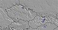
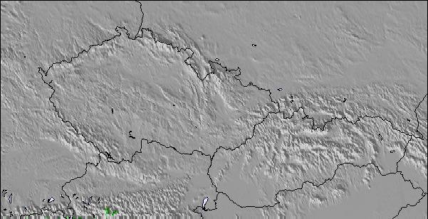
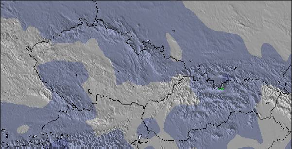
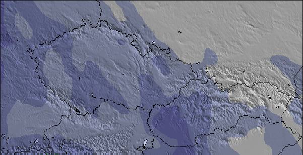
The above table gives the weather forecast for Waidring at the specific elevation of 1340 m. Our sophisticated weather models allow us to provide snow forecasts for the top, middle and bottom ski stations of Waidring. To access the weather forecasts for the other elevations, use the tab navigation above the table. For a wider view of the weather, check out the Weather Map of Austria.
Click here to read further information on freezing levels and how we forecast our temperatures.
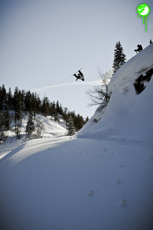
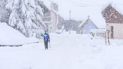
Skied here several times, during Feb/March, as the snow was so much better than most other resorts, in the region, this year but it was often very busy because of this. Steinplatte is a great area for blue run skiers and there are some runs where even the most timid of skiers can allow their skis to stay in the foreline. The slopes are very wide and the lifts are very modern. As a consequence, when it is busy you really have to watch your back as there can be a large number of technically poor skiers hammering down the hill and it is sometimes quite dangerous to finish your turns because of the risk of someone skiing into you from behind. On quieter days, weekdays in January and just before Easter it is an intermediates paradise. If it gets too busy or the visibility is poor you can ski down to Winklmoos, in Germany, and usually avoid the queues and ski on tree-lined runs. This has the best terrain I have ever seen for beginners and very timid skiers afraid of any gradient, and holds the snow very well.
Pros: incredible terrain for timid skiers, usually the best snow conditions in the area, fast efficient lift system, easy to get to by car.
Cons: often very busy, a lot of idiot skiers, during the holidays, skiing too fast for their ability, not enough mountain restaurants which can get over-crowded, prone to misty whiteout conditions (most of the skiing is above the tree line).
Top tip: always ski here on a sunny weekday in low season.
Free Snow-Forecast.com weather widget for your website
The Waidring skiing weather widget is available to embed on external websites free of charge. It provides a daily summary of our Waidring snow forecast and current weather conditions. Simply go to the feed configuration page and follow the 3 simple steps to grab the custom html code snippet and paste it into your own site. You can choose the snow forecast elevation (summit, mid-mountain or bottom lift) and metric/imperial units for the snow forecast feed to suit your own website…. Click here to get the code.


 Nearest