


New Lift Will Access Australia’s New Highest Lift-Served Point
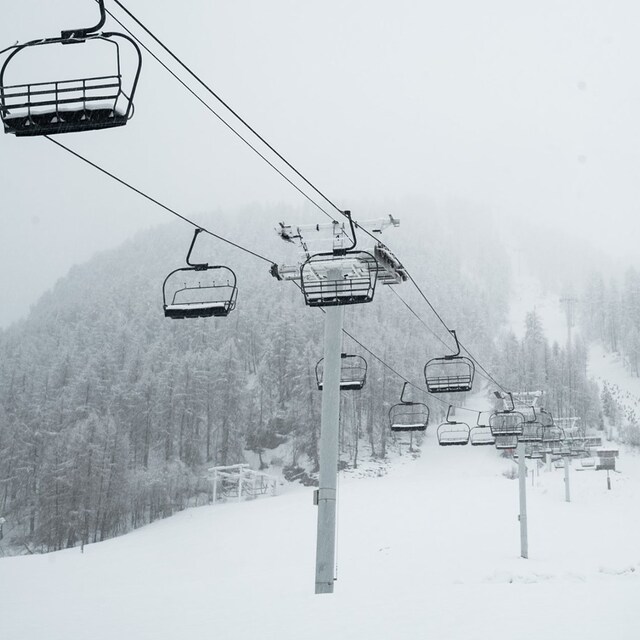
The new Mt Perisher 6 chairlift currently under construction at Australia’s largest ski area will not only increase capacity on the route by 60%, but also take skiers up to Australia’s new highest lift-served point at 2,042m.


 Nearest