
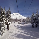
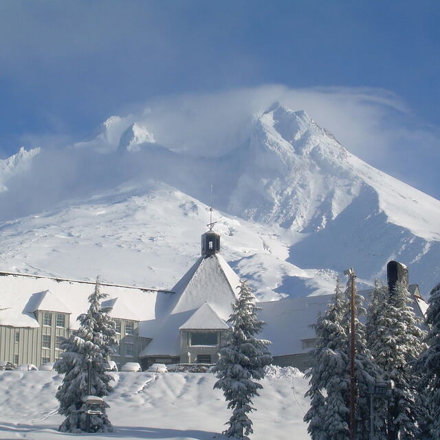
North America Weekly Snow Roundup #312
Weekly Snow News for North America, updated 30 April 2026: Palisades gains a fortnight of extra skiing after 80" (2m) of April snow, while Arapahoe Basin shocks with an unusually early closure.

Next 3 days weather summary:Moderate rain (total 11.0mm), heaviest on Fri afternoon. Mild temperatures (max 9°C on Fri afternoon, min 4°C on Thu morning). Wind will be generally light. | Days 4-6 weather summary:Mostly dry. Very mild (max 12°C on Sun afternoon, min 6°C on Mon night). Wind will be generally light. | |||||||||||||||||
Thursday 30 | Friday 1 | Saturday 2 | Sunday 3 | Monday 4 | Tuesday 5 | |||||||||||||
AM | PM | night | AM | PM | night | AM | PM | night | AM | PM | night | AM | PM | night | AM | PM | night | |
some clouds | cloudy | some clouds | some clouds | risk thun- der | light rain | risk thun- der | risk thun- der | rain shwrs | clear | clear | clear | clear | clear | clear | clear | clear | clear | |
km/h | ||||||||||||||||||
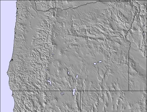
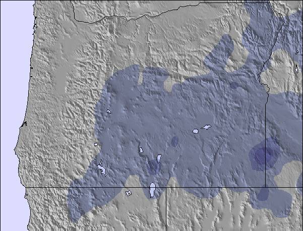
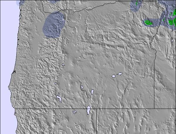
Snow map |  |  |  | 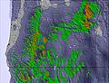 | 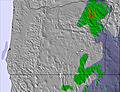 | 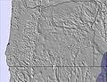 | ||||||||||||
— | — | — | — | — | — | — | — | — | — | — | — | — | — | — | — | — | — | |
— | — | — | — | 1 | 4 | 2 | 2 | 2 | — | — | — | — | — | — | — | — | — | |
max °C | 5 | 8 | 8 | 8 | 9 | 6 | 7 | 9 | 9 | 10 | 12 | 11 | 11 | 12 | 9 | 7 | 9 | 8 |
min °C | 4 | 7 | 7 | 7 | 9 | 6 | 6 | 8 | 9 | 9 | 11 | 11 | 10 | 10 | 6 | 6 | 9 | 7 |
0 | 6 | 6 | 5 | 9 | 4 | 3 | 7 | 7 | 6 | 9 | 8 | 8 | 9 | 5 | 6 | 8 | 4 | |
42 | 47 | 50 | 49 | 64 | 78 | 68 | 65 | 55 | 47 | 48 | 39 | 43 | 67 | 71 | 64 | 57 | 60 | |
2850 | 3000 | 3100 | 3150 | 3150 | 2950 | 2950 | 3150 | 3300 | 3400 | 3450 | 3400 | 3200 | 3450 | 3600 | 3650 | 3750 | 3800 | |
5:56 | — | — | 5:54 | — | — | 5:54 | — | — | 5:52 | — | — | 5:50 | — | — | 5:50 | — | — | |
— | — | 8:10 | — | — | 8:12 | — | — | 8:14 | — | — | 8:15 | — | — | 8:15 | — | — | 8:16 | |
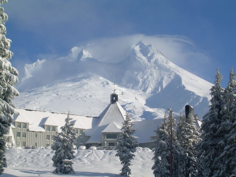
Latest snow reports near Timberline:
| Top snow depth: | 201 cm |
|---|---|
| Bottom snow depth: | 110 cm |
| Fresh snowfall depth: | — |
| Last snowfall: | 22 Apr 2026 |
| Snow Alerts | Create Alert |
0.9 | Bluebird Powder days Fresh snow, mostly sunny, light wind. |
|---|---|
1.1 | Powder days Fresh snow, limited sun, any wind. |
0.6 | Bluebird days Average snow, mostly sunny, light wind. |
The above table gives the weather forecast for Timberline at the specific elevation of 2040 m. Our sophisticated weather models allow us to provide snow forecasts for the top, middle and bottom ski stations of Timberline. To access the weather forecasts for the other elevations, use the tab navigation above the table. For a wider view of the weather, check out the Weather Map of United States.
Click here to read further information on freezing levels and how we forecast our temperatures.
Overall 3.8 Based on 52 votes and 47 reviews
I agree that Timberline is that resort where the lifties are so friendly. Unfortunately, I had a bad experience today. I've been a pass holder for at least 20 years, making it all the way to 70 years old, yahoo, discounted pass. It was more than epic mid November, first time up, when I had difficulty showing my pass that was under my edge of my coat where it was built in by the manufacturer. I've always been able to hold it up to present it. Being the first time up, I forgot the sequence. The scanner didn't like where it was and started to berate me and tell me I should put it on leash or get one of those old school there are those old school snap back pullout pass holders. I had two of those on my visible on my coat, but one was for my squeegee, the other to scrape ice out of my bindings. It kind of put a bad taste in my mouth. Then the second time around same attitude. I told my ski partner I was going to leave, but he talked me out of it. I'm sure glad he did because the 17" of snow really was epic!
Leo from United States writes:
I agree that Timberline is that resort where the lifties are so friendly. Unfortunately, I had a bad experience today. I've been a pass holder for at least 20 years, making it all the way to 70 years old, yahoo, discounted pass. It was more than epic mid November, first time up, when I had difficulty showing my pass that was under my edge of my coat where it was built in by the manufacturer. I've always been able to hold it up to present it. Being the first time up, I forgot the sequence. The scanner didn't like where it was and started to berate me and tell me I should put it on leash or get one of those old school there are those old school snap back pullout pass holders. I had two of those on my visible on my coat, but one was for my squeegee, the other to scrape ice out of my bindings. It kind of put a bad taste in my mouth. Then the second time around same attitude. I told my ski partner I was going to leave, but he talked me out of it. I'm sure glad he did because the 17" of snow really was epic!

 Nearest