

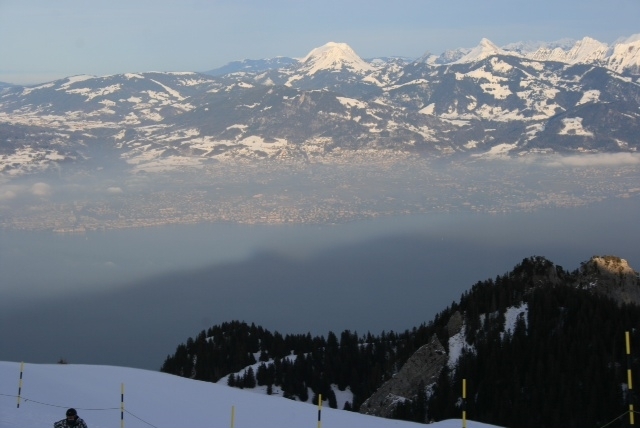
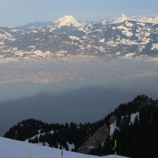
Massive Snowfall in the Alps
A huge snowfall is underway in the Alps, by far the biggest of the 24-25 season.
Please sign in with your Snow-Forecast account details below.


Thollon les Mémises Weather (Next 3 days): The snow forecast for Thollon les Mémises is: Heavy rain (total 20.0mm), heaviest during Wed night. Very mild (max 11°C on Tue afternoon, min 4°C on Wed night). Wind will be generally light.
Thollon les Mémises Weather (Days 4-6): Moderate rain (total 17.0mm), heaviest on Sat night. Very mild (max 13°C on Fri afternoon, min 4°C on Thu night). Wind will be generally light.
| Resort | Snow Depth | Temp. (°C) | Wind (km/h) | Weather | ||
|---|---|---|---|---|---|---|
| Top Lift: | 0.0 m | 0 | ||||
| Middle Lift: | 3 | |||||
| Bottom Lift: | 0.0 m | 7 |
Latest snow reports near Thollon les Mémises:

Monday 21 | Tuesday 22 | Wednesday 23 | Thursday 24 | Friday 25 | Saturday 26 | Sunday 27 | |||||||||||||||
AM | PM | night | AM | PM | night | AM | PM | night | AM | PM | night | AM | PM | night | AM | PM | night | AM | PM | night | |
light rain | rain shwrs | rain shwrs | some clouds | cloudy | light rain | light rain | light rain | rain shwrs | rain shwrs | rain shwrs | clear | clear | clear | some clouds | some clouds | light rain | heavy rain | mod. rain | light rain | some clouds | |
km/h | |||||||||||||||||||||
Snow map |  |  |  |  |  |  |  | ||||||||||||||
— | — | — | — | — | — | — | — | — | — | — | — | — | — | — | — | — | — | — | — | — | |
1.0 | 2.0 | 1.0 | — | — | 2.0 | 2.0 | 2.0 | 10 | 2.0 | 1.0 | — | — | — | — | — | 1.0 | 13 | 6 | 2.0 | — | |
max°C | 7 | 9 | 8 | 9 | 11 | 9 | 8 | 10 | 7 | 7 | 10 | 8 | 9 | 13 | 10 | 11 | 13 | 10 | 7 | 9 | 8 |
min°C | 5 | 9 | 5 | 6 | 11 | 8 | 7 | 10 | 4 | 5 | 8 | 4 | 5 | 13 | 6 | 8 | 12 | 7 | 6 | 7 | 5 |
2 | 7 | 5 | 6 | 11 | 8 | 6 | 8 | 2 | 4 | 8 | 3 | 3 | 12 | 6 | 8 | 11 | 5 | 4 | 6 | 3 | |
84 | 80 | 82 | 78 | 74 | 94 | 93 | 70 | 91 | 80 | 61 | 83 | 66 | 56 | 80 | 71 | 68 | 96 | 95 | 84 | 85 | |
1950 | 2250 | 2200 | 2350 | 2550 | 2300 | 2250 | 2350 | 1750 | 1950 | 2350 | 2250 | 2600 | 3000 | 3100 | 2800 | 2700 | 2300 | 2050 | 2250 | 2650 | |
6:35 | — | — | 6:35 | — | — | 6:33 | — | — | 6:31 | — | — | 6:28 | — | — | 6:28 | — | — | 6:26 | — | — | |
— | — | 8:27 | — | — | 8:29 | — | — | 8:30 | — | — | 8:30 | — | — | 8:32 | — | — | 8:34 | — | — | 8:35 | |
Heavy rain (total 20.0mm), heaviest during Wed night. Very mild (max 11°C on Tue afternoon, min 4°C on Wed night). Wind will be generally light.
Moderate rain (total 17.0mm), heaviest on Sat night. Very mild (max 13°C on Fri afternoon, min 4°C on Thu night). Wind will be generally light.
Latest snow reports near Thollon les Mémises:
| Top snow depth: | 0 cm |
|---|---|
| Bottom snow depth: | 0 cm |
| Fresh snowfall depth: | — |
| Last snowfall: | 17 Apr 2025 |
| Snow Alerts | Create Alert |
0.1 | Bluebird Powder days Fresh snow, mostly sunny, light wind. |
|---|---|
0.0 | Powder days Fresh snow, limited sun, any wind. |
0.0 | Bluebird days Average snow, mostly sunny, light wind. |
The above table gives the weather forecast for Thollon les Mémises at the specific elevation of 1000 m. Our sophisticated weather models allow us to provide snow forecasts for the top, middle and bottom ski stations of Thollon les Mémises. To access the weather forecasts for the other elevations, use the tab navigation above the table. For a wider view of the weather, check out the Weather Map of France.
Click here to read further information on freezing levels and how we forecast our temperatures.
Resort name is also written as Thollon les Memises.
Overall 3.9 Based on 28 votes and 24 reviews
Thollon is a stunning location but the place is being covered in high rise concrete. Limited skiing now under pressure at busy times. PLU future looking bleak.
David Marsh from United Kingdom writes:
Thollon is a stunning location but the place is being covered in high rise concrete. Limited skiing now under pressure at busy times. PLU future looking bleak.
Read 23 more reviews of Thollon les Mémises or submit your own
The Thollon les Mémises skiing weather widget is available to embed on external websites free of charge. It provides a daily summary of our Thollon les Mémises snow forecast and current weather conditions. Simply go to the feed configuration page and follow the 3 simple steps to grab the custom html code snippet and paste it into your own site. You can choose the snow forecast elevation (summit, mid-mountain or bottom lift) and metric/imperial units for the snow forecast feed to suit your own website…. Click here to get the code.
View detailed snow forecast for Thollon les Mémises at:
snow-forecast.com


 Nearest