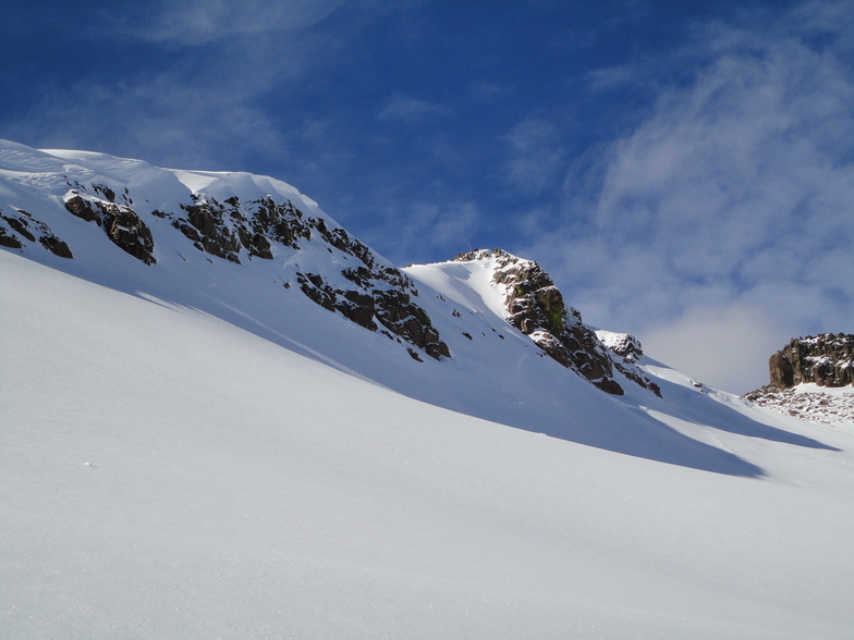


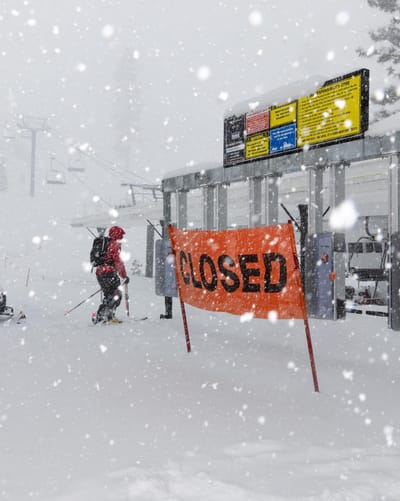
Major Storm May Be The Long Awaited Saviour Of Western US Ski Season
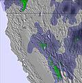
Most ski areas in the Western USA have been enduring one of their worst ever ski seasons with dry, mild weather since last November making the regions famous deep powder very hard to find and leaving many struggling to open much terrain at all.


 Nearest