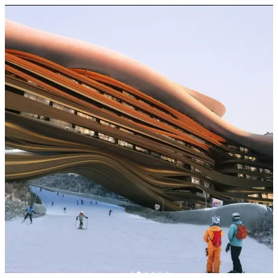
Future Of Saudi Arabia's Ski Resort Development Unclear
The status of a planned year-round outdoor ski area in Saudi Arabia is currently uncertain, and not just because of the current war in the region.

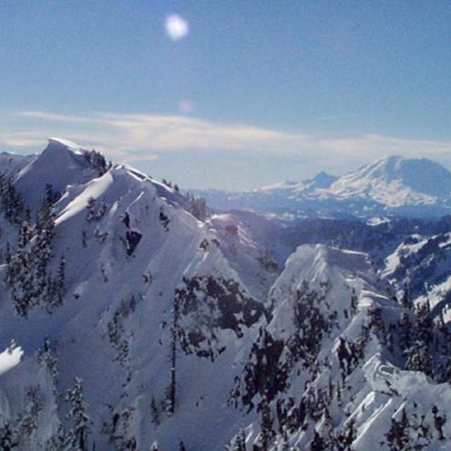
Summit at Snoqualmie Weather (Next 3 days): The snow forecast for Summit at Snoqualmie is: Light rain (total 2.0mm), mostly falling on Mon afternoon. Freeze-thaw conditions (max 14°C on Sun afternoon, min -1°C on Mon night). Wind will be generally light.
Summit at Snoqualmie Weather (Days 4-6): Light rain (total 4.0mm), mostly falling on Wed night. Freeze-thaw conditions (max 7°C on Thu afternoon, min -3°C on Tue morning). Wind will be generally light.
| Resort | Snow Depth | Temp. (°C) | Wind (km/h) | Weather | ||
|---|---|---|---|---|---|---|
| Top Lift: | 4 | |||||
| Middle Lift: | 6 | |||||
| Bottom Lift: | 5 |

Saturday 4 | Sunday 5 | Monday 6 | Tuesday 7 | Wednesday 8 | Thursday 9 | |||||||||||||
AM | PM | night | AM | PM | night | AM | PM | night | AM | PM | night | AM | PM | night | AM | PM | night | |
clear | clear | some clouds | cloudy | cloudy | cloudy | clear | rain shwrs | snow shwrs | light snow | light snow | some clouds | some clouds | light rain | rain shwrs | clear | some clouds | clear | |
km/h | ||||||||||||||||||
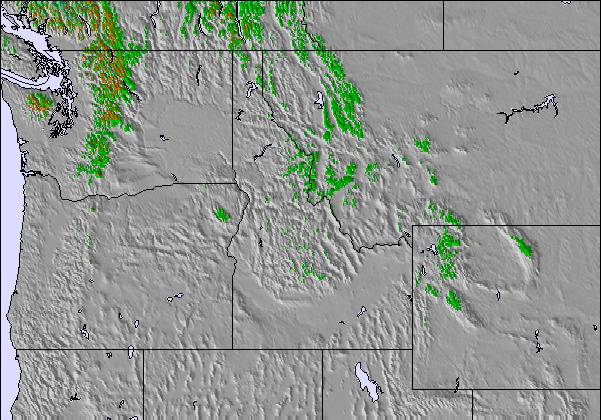
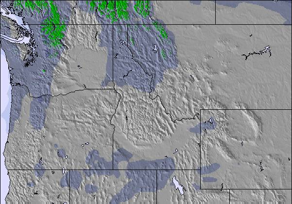
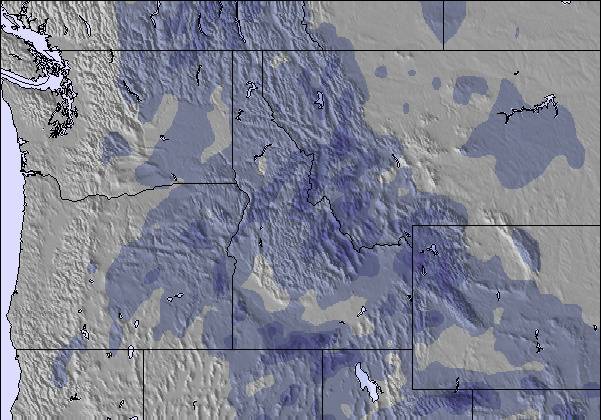
Snow map |  |  | 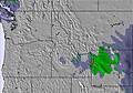 | 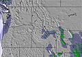 | 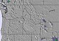 | 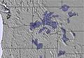 | ||||||||||||
— | — | — | — | — | — | — | — | — | — | — | — | — | — | — | — | — | — | |
— | — | — | — | — | — | — | 1 | 1 | — | — | — | — | 1 | 3 | — | — | — | |
max °C | 9 | 12 | 10 | 12 | 14 | 12 | 13 | 14 | 9 | -2 | 3 | 1 | 3 | 6 | 3 | 5 | 7 | 5 |
min °C | 6 | 12 | 10 | 10 | 14 | 11 | 11 | 12 | -1 | -3 | 2 | -1 | -1 | 4 | 2 | 3 | 7 | 3 |
6 | 12 | 10 | 9 | 14 | 11 | 11 | 10 | -6 | -8 | -3 | -3 | -1 | 4 | 2 | 3 | 5 | 3 | |
54 | 48 | 54 | 51 | 47 | 52 | 59 | 71 | 94 | 84 | 60 | 93 | 56 | 79 | 76 | 65 | 50 | 56 | |
2550 | 2800 | 3050 | 3100 | 3100 | 3000 | 2850 | 2750 | 1450 | 850 | 1400 | 1000 | 1500 | 1600 | 1600 | 1750 | 2050 | 1850 | |
6:39 | — | — | 6:37 | — | — | 6:35 | — | — | 6:33 | — | — | 6:31 | — | — | 6:28 | — | — | |
— | 7:38 | — | — | 7:39 | — | — | 7:40 | — | — | 7:43 | — | — | 7:44 | — | — | 7:45 | — | |
Light rain (total 2.0mm), mostly falling on Mon afternoon. Freeze-thaw conditions (max 14°C on Sun afternoon, min -1°C on Mon night). Wind will be generally light.
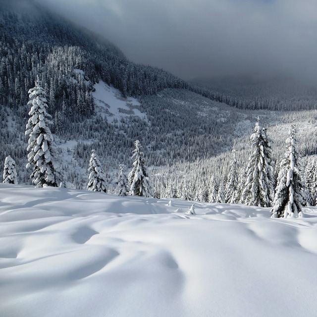
Light rain (total 4.0mm), mostly falling on Wed night. Freeze-thaw conditions (max 7°C on Thu afternoon, min -3°C on Tue morning). Wind will be generally light.
Latest snow reports near Summit at Snoqualmie:
| Top snow depth: | — |
|---|---|
| Bottom snow depth: | — |
| Fresh snowfall depth: | 13 cm |
| Last snowfall: | 2 Apr 2026 |
| Snow Alerts | Create Alert |
0.4 | Bluebird Powder days Fresh snow, mostly sunny, light wind. |
|---|---|
1.7 | Powder days Fresh snow, limited sun, any wind. |
0.1 | Bluebird days Average snow, mostly sunny, light wind. |
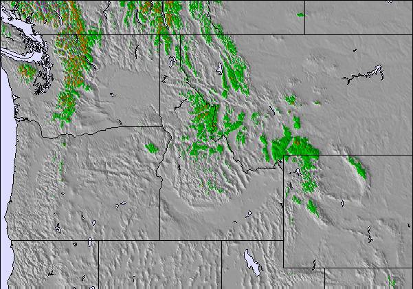
The above table gives the weather forecast for Summit at Snoqualmie at the specific elevation of 1068 m. Our sophisticated weather models allow us to provide snow forecasts for the top, middle and bottom ski stations of Summit at Snoqualmie. To access the weather forecasts for the other elevations, use the tab navigation above the table. For a wider view of the weather, check out the Weather Map of United States.
Click here to read further information on freezing levels and how we forecast our temperatures.
Overall 2.7 Based on 17 votes and 6 reviews
Summit has good terrain for early beginners and small children, but poor snow, and boring, crowded skiing for anyone of moderate skills. As a business, they are very poor. Their communications are extremely poor on all the various policy changes related to covid and crowding, leading to confusion and wasted days for many. The staff is generally unfriendly and unprofessional. They also have an extremely greedy and opportunistic structure of non-refundable prepaid purchases for tickets and rentals, so if you cannot make it due to weather, covid or their policy changes, you will be screwed out of your money. They have zero customer service, and will not even respond to your requests. If you decide to do business with them, expect to lose everything if you can't follow through on your plans as expected. There are far better places to ski with better, more customer focused management that aren't that much farther to drive. Even Stevens is better, despite their current challenges.
Mark Horn from United States writes:
Summit has good terrain for early beginners and small children, but poor snow, and boring, crowded skiing for anyone of moderate skills. As a business, they are very poor. Their communications are extremely poor on all the various policy changes related to covid and crowding, leading to confusion and wasted days for many. The staff is generally unfriendly and unprofessional. They also have an extremely greedy and opportunistic structure of non-refundable prepaid purchases for tickets and rentals, so if you cannot make it due to weather, covid or their policy changes, you will be screwed out of your money. They have zero customer service, and will not even respond to your requests. If you decide to do business with them, expect to lose everything if you can't follow through on your plans as expected. There are far better places to ski with better, more customer focused management that aren't that much farther to drive. Even Stevens is better, despite their current challenges.
Read 5 more reviews of Summit at Snoqualmie or submit your own

 Nearest