The snow forecast for Ski Bromont is: Light rain (total 3.0mm), mostly falling on Tue afternoon. Very mild (max 13°C on Thu afternoon, min 2°C on Wed night). Wind will be generally light.
Ski Bromont Weather (Next 3 days): The snow forecast for Ski Bromont is: Light rain (total 3.0mm), mostly falling on Tue afternoon. Very mild (max 13°C on Thu afternoon, min 2°C on Wed night). Wind will be generally light.
Ski Bromont Weather (Days 4-6): Moderate rain (total 12.0mm), heaviest on Sat morning. Very mild (max 13°C on Fri afternoon, min 1°C on Sat night). Wind will be generally light.
Ski Bromont Live Weather
Resort
Snow Depth
Temp. (°C)
Wind (km/h)
Weather
Top Lift:
6
Middle Lift:
7
Bottom Lift:
9
Powered by Snow-Forecast.com
Ski Bromont Weather
(Next 3 days):
The snow forecast for Ski Bromont is: Light rain (total 3.0mm), mostly falling on Tue afternoon. Very mild (max 13°C on Thu afternoon, min 2°C on Wed night). Wind will be generally light.
Ski Bromont Weather (Days 4-6):
Moderate rain (total 12.0mm), heaviest on Sat morning. Very mild (max 13°C on Fri afternoon, min 1°C on Sat night). Wind will be generally light.
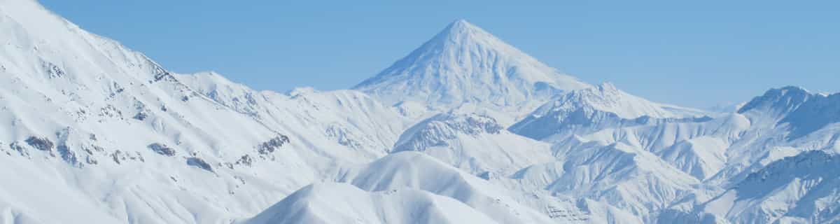
The above table gives the weather forecast for Ski Bromont at the specific elevation of 370 m. Our sophisticated weather models allow us to provide snow forecasts for the top, middle and bottom ski stations of Ski Bromont. To access the weather forecasts for the other elevations, use the tab navigation above the table. For a wider view of the weather, check out the Weather Map of Canada.
Click here to read further information on freezing levels and how we forecast our temperatures.
Great potential wasted.
Bromont is just 1hr driving from Montreal, on the south shore. There are plenty of varied slopes for all levels of skiers. The chalets (base and top) are recent or renovated, the slopes are groomed three times a day, the lifts are gradually replaced year after year and the snowmaking equipment is regularly updated (last generation fixed fans).
Unfortunately, they don't make enough snow with unfavourable seasons, opening only 50 to 60% of terrain, mostly boring tracks for beginners/intermediates. This combined with too many lift passes sold, and crazy real estate development in the last years. It's always crowded in the lines and annihilates the pleasure of skiing on the slopes with crazy skiers coming from everywhere. Not to mention the prices through the roof now.
In addition, there's a lot of lift failures for no reason increasing the frustration.
Bromont used to be a great place. Hoping they wake up soon to focus on why people come in the first place. Skiing and have fun.
Free Snow-Forecast.com weather widget for your website
The Ski Bromont skiing weather widget is available to embed on external websites free of charge. It provides a daily summary of our Ski Bromont snow forecast and current weather conditions. Simply go to the feed configuration page and follow the 3 simple steps to grab the custom html code snippet and paste it into your own site. You can choose the snow forecast elevation (summit, mid-mountain or bottom lift) and metric/imperial units for the snow forecast feed to suit your own website…. Click here to get the code.


 Nearest