
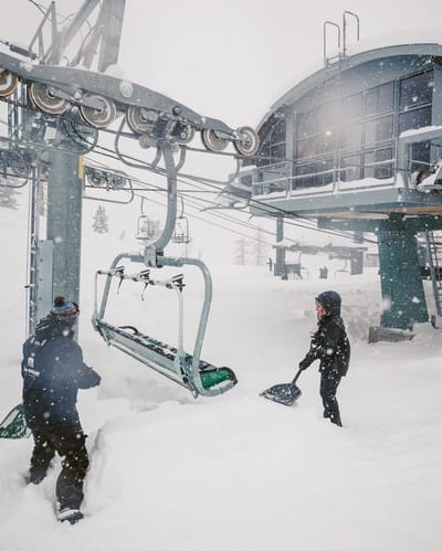
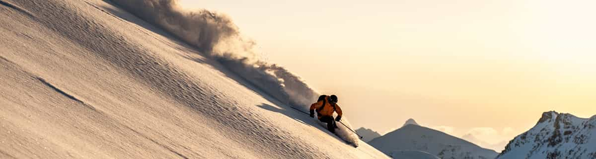
Over A Metre (40”) Of Snowfall in 24 Hours At Californian Ski Area
California has had some huge snowfalls, as forecast, over the last 24 hours.
Please sign in with your Snow-Forecast account details below.

Sessel-Gommiswald Weather (Next 3 days): The snow forecast for Sessel-Gommiswald is: Light rain (total 8.0mm) at first, then becoming colder with a dusting of snow on Sun afternoon. Freeze-thaw conditions (max 10°C on Tue afternoon, min -4°C on Mon night). Wind will be generally light.
Sessel-Gommiswald Weather (Days 4-6): Light rain (total 4.0mm), mostly falling on Fri night. Very mild (max 15°C on Thu morning, min 2°C on Wed night). Wind will be generally light.
| Resort | Snow Depth | Temp. (°C) | Wind (km/h) | Weather | ||
|---|---|---|---|---|---|---|
| Top Lift: | -1 | |||||
| Middle Lift: | 1 | |||||
| Bottom Lift: | 2 |
Latest snow reports near Sessel-Gommiswald:

Sunday 16 | Monday 17 | Tuesday 18 | Wednesday 19 | Thursday 20 | Friday 21 | Saturday 22 | |||||||||||||||
AM | PM | night | AM | PM | night | AM | PM | night | AM | PM | night | AM | PM | night | AM | PM | night | AM | PM | night | |
light rain | light snow | light snow | rain shwrs | some clouds | clear | clear | clear | clear | clear | clear | clear | some clouds | cloudy | cloudy | cloudy | cloudy | light rain | rain shwrs | some clouds | some clouds | |
km/h | |||||||||||||||||||||
Snow map |  |  |  |  |  |  |  | ||||||||||||||
— | — | 1.0 | — | — | — | — | — | — | — | — | — | — | — | — | — | — | — | — | — | — | |
5 | 2.0 | — | 1.0 | — | — | — | — | — | — | — | — | — | — | — | — | — | 4 | 1.0 | — | — | |
max°C | 2 | 2 | 1 | 4 | 5 | -2 | 9 | 10 | 1 | 12 | 12 | 3 | 15 | 14 | 7 | 14 | 13 | 7 | 11 | 13 | 7 |
min°C | 2 | 2 | 1 | 3 | 0 | -4 | 5 | 4 | 0 | 9 | 5 | 2 | 11 | 7 | 6 | 11 | 9 | 7 | 10 | 9 | 6 |
1 | 2 | 1 | 1 | -3 | -7 | 5 | 3 | -2 | 9 | 3 | 0 | 11 | 5 | 4 | 10 | 8 | 6 | 10 | 9 | 5 | |
99 | 99 | 98 | 90 | 73 | 78 | 65 | 73 | 68 | 46 | 52 | 61 | 45 | 54 | 69 | 62 | 58 | 72 | 84 | 65 | 66 | |
1000 | 950 | 800 | 950 | 1250 | 500 | 1800 | 2000 | 1900 | 2050 | 2300 | 2350 | 2450 | 2650 | 2650 | 2750 | 2900 | 2100 | 1950 | 2350 | 2700 | |
6:35 | — | — | 6:33 | — | — | 6:31 | — | — | 6:28 | — | — | 6:26 | — | — | 6:24 | — | — | 6:22 | — | — | |
— | 6:30 | — | — | 6:30 | — | — | 6:32 | — | — | 6:34 | — | — | 6:36 | — | — | 6:37 | — | — | 6:37 | — | |
Light rain (total 8.0mm) at first, then becoming colder with a dusting of snow on Sun afternoon. Freeze-thaw conditions (max 10°C on Tue afternoon, min -4°C on Mon night). Wind will be generally light.
Light rain (total 4.0mm), mostly falling on Fri night. Very mild (max 15°C on Thu morning, min 2°C on Wed night). Wind will be generally light.
Latest snow reports near Sessel-Gommiswald:
| Top snow depth: | — |
|---|---|
| Bottom snow depth: | — |
| Fresh snowfall depth: | 1.0 cm |
| Last snowfall: | 15 Mar 2025 |
| Snow Alerts | Create Alert |
0.0 | Bluebird Powder days Fresh snow, mostly sunny, light wind. |
|---|---|
0.1 | Powder days Fresh snow, limited sun, any wind. |
0.1 | Bluebird days Average snow, mostly sunny, light wind. |
The above table gives the weather forecast for Sessel-Gommiswald at the specific elevation of 640 m. Our sophisticated weather models allow us to provide snow forecasts for the top, middle and bottom ski stations of Sessel-Gommiswald. To access the weather forecasts for the other elevations, use the tab navigation above the table. For a wider view of the weather, check out the Weather Map of Switzerland.
Click here to read further information on freezing levels and how we forecast our temperatures.
The Sessel-Gommiswald skiing weather widget is available to embed on external websites free of charge. It provides a daily summary of our Sessel-Gommiswald snow forecast and current weather conditions. Simply go to the feed configuration page and follow the 3 simple steps to grab the custom html code snippet and paste it into your own site. You can choose the snow forecast elevation (summit, mid-mountain or bottom lift) and metric/imperial units for the snow forecast feed to suit your own website…. Click here to get the code.
View detailed snow forecast for Sessel-Gommiswald at:
snow-forecast.com


 Nearest