

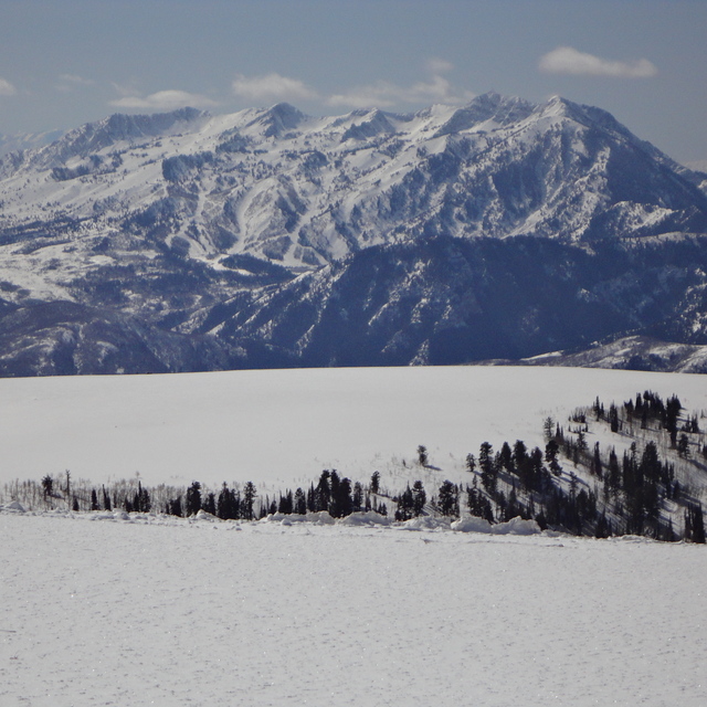
Massive Snowfall in the Alps
A huge snowfall is underway in the Alps, by far the biggest of the 24-25 season.
Please sign in with your Snow-Forecast account details below.

Powder Mountain Weather (Next 3 days): The snow forecast for Powder Mountain is: A dusting of new snow. Freeze-thaw conditions (max 3°C on Sun night, min -6°C on Sat morning). Winds increasing (light winds from the WNW on Sat afternoon, fresh winds from the W by Mon afternoon).
Powder Mountain Weather (Days 4-6): Light rain (total 2.0mm), mostly falling on Thu night. Freeze-thaw conditions (max 7°C on Thu afternoon, min 0°C on Tue morning). Winds decreasing (fresh winds from the SSW on Tue night, calm by Wed night).
| Resort | Snow Depth | Temp. (°C) | Wind (km/h) | Weather | ||
|---|---|---|---|---|---|---|
| Top Lift: | 1.5 m | -3 | ||||
| Bottom Lift: | 0.4 m | 2 |
Latest snow reports near Powder Mountain:

Saturday 19 | Sunday 20 | Monday 21 | Tuesday 22 | Wednesday 23 | Thursday 24 | Friday 25 | |||||||||||||||
AM | PM | night | AM | PM | night | AM | PM | night | AM | PM | night | AM | PM | night | AM | PM | night | AM | PM | night | |
clear | clear | some clouds | some clouds | clear | snow shwrs | snow shwrs | snow shwrs | clear | clear | clear | some clouds | some clouds | clear | clear | some clouds | cloudy | light rain | some clouds | some clouds | cloudy | |
km/h | |||||||||||||||||||||
Snow map |  |  | 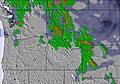 | 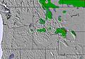 | 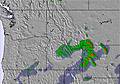 | 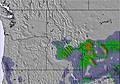 | 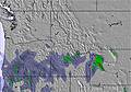 | ||||||||||||||
— | — | — | — | — | — | 2.0 | — | — | — | — | — | — | — | — | — | — | — | — | — | — | |
— | — | — | — | — | — | — | — | — | — | — | — | — | — | — | — | — | 2.0 | — | — | — | |
max°C | -5 | -2 | -1 | 0 | 2 | 3 | -1 | 1 | 0 | 2 | 4 | 4 | 1 | 2 | 1 | 4 | 7 | 7 | 7 | 8 | 8 |
min°C | -6 | -3 | -2 | -1 | 1 | 0 | -2 | 0 | -1 | 0 | 3 | 2 | 0 | 1 | 1 | 3 | 6 | 6 | 6 | 8 | 5 |
-12 | -7 | -8 | -7 | -5 | -7 | -9 | -7 | -6 | -4 | -2 | -3 | -5 | -4 | -1 | 3 | 4 | 3 | 2 | 4 | 0 | |
59 | 65 | 61 | 79 | 56 | 41 | 95 | 61 | 44 | 37 | 32 | 44 | 60 | 55 | 39 | 25 | 45 | 46 | 43 | 40 | 36 | |
1950 | 2400 | 2500 | 2500 | 2800 | 3250 | 2500 | 2700 | 2800 | 2750 | 3050 | 3350 | 2850 | 2850 | 2900 | 3150 | 3400 | 3600 | 3550 | 3700 | 3750 | |
6:41 | — | — | 6:39 | — | — | 6:37 | — | — | 6:37 | — | — | 6:35 | — | — | 6:33 | — | — | 6:33 | — | — | |
— | 8:10 | — | — | 8:12 | — | — | 8:13 | — | — | 8:14 | — | — | 8:15 | — | — | 8:15 | — | — | 8:16 | — | |
A dusting of new snow. Freeze-thaw conditions (max 3°C on Sun night, min -6°C on Sat morning). Winds increasing (light winds from the WNW on Sat afternoon, fresh winds from the W by Mon afternoon).
Light rain (total 2.0mm), mostly falling on Thu night. Freeze-thaw conditions (max 7°C on Thu afternoon, min 0°C on Tue morning). Winds decreasing (fresh winds from the SSW on Tue night, calm by Wed night).
Latest snow reports near Powder Mountain:
| Top snow depth: | 145 cm |
|---|---|
| Bottom snow depth: | 35 cm |
| Fresh snowfall depth: | 10 cm |
| Last snowfall: | 17 Apr 2025 |
| Snow Alerts | Create Alert |
0.5 | Bluebird Powder days Fresh snow, mostly sunny, light wind. |
|---|---|
0.8 | Powder days Fresh snow, limited sun, any wind. |
0.8 | Bluebird days Average snow, mostly sunny, light wind. |
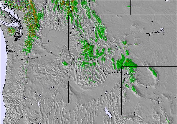
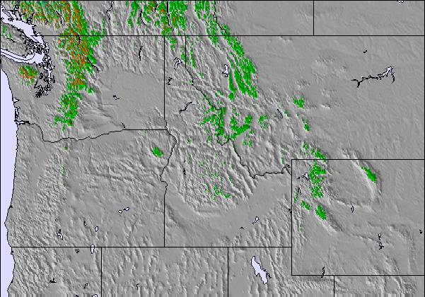
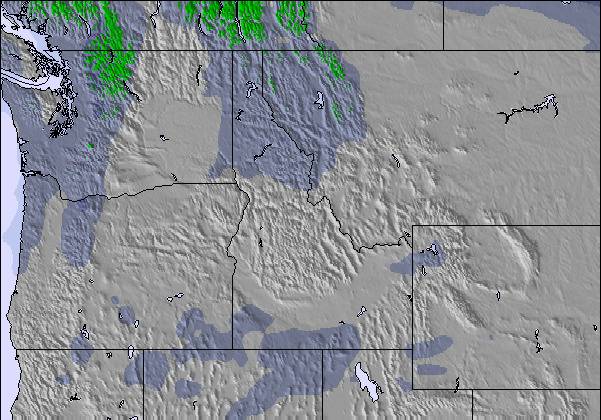
The above table gives the weather forecast for Powder Mountain at the specific elevation of 2712 m. Our sophisticated weather models allow us to provide snow forecasts for the top, middle and bottom ski stations of Powder Mountain. To access the weather forecasts for the other elevations, use the tab navigation above the table. For a wider view of the weather, check out the Weather Map of United States.
Click here to read further information on freezing levels and how we forecast our temperatures.
Overall 2.8 Based on 5 votes and 5 reviews
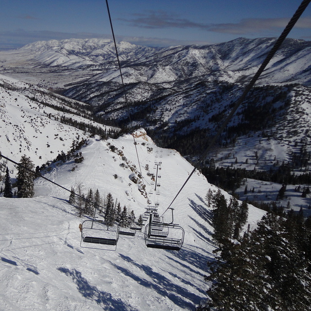
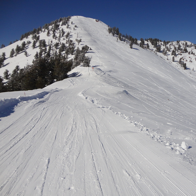
To begin a correction to snow-forecast resort guide: pow mow (Powder Mountain) has slightly more than 300 vertical feet. It's about 2000, also pow mow relies 100 percent on natural snow, isn't that refreshing. As far as terrain goes I would describe as an intermediate-advanced powder skiers-riders paradise and there is enough steep skiing to keep any ability interested. This ski area is huge with unique access such as powder safaris and single run sno-cat rides, lifts are laid out well for easy terrain access. It takes days not hours for this mtn. to get tracked out after a dump, so check it out, or better yet don't and leave that powder to me!
top corner from United States writes:
To begin a correction to snow-forecast resort guide: pow mow (Powder Mountain) has slightly more than 300 vertical feet. It's about 2000, also pow mow relies 100 percent on natural snow, isn't that refreshing. As far as terrain goes I would describe as an intermediate-advanced powder skiers-riders paradise and there is enough steep skiing to keep any ability interested. This ski area is huge with unique access such as powder safaris and single run sno-cat rides, lifts are laid out well for easy terrain access. It takes days not hours for this mtn. to get tracked out after a dump, so check it out, or better yet don't and leave that powder to me!
The Powder Mountain skiing weather widget is available to embed on external websites free of charge. It provides a daily summary of our Powder Mountain snow forecast and current weather conditions. Simply go to the feed configuration page and follow the 3 simple steps to grab the custom html code snippet and paste it into your own site. You can choose the snow forecast elevation (summit, mid-mountain or bottom lift) and metric/imperial units for the snow forecast feed to suit your own website…. Click here to get the code.
View detailed snow forecast for Powder Mountain at:
snow-forecast.com

 Nearest