
North America Weekly Snow Roundup #317
Weekly Snow News for North America, updated 4 June 2026: Mammoth extends operations, Copper reopens summer terrain and fresh snowfall boosts late-season conditions.

Next 3 days weather summary:Mild at first with light rain (total 8.0mm) on Thu night followed by colder weather and light fall of snow, heaviest on Thu night. Freeze-thaw conditions (max 8°C on Sun morning, min 0°C on Thu night). Wind will be generally light. | Days 4-6 weather summary:Heavy rain (total 20.0mm), heaviest during Sun night. Very mild (max 10°C on Mon afternoon, min 4°C on Tue night). Wind will be generally light. | ||||||||||||||||
Thu 4 | Friday 5 | Saturday 6 | Sunday 7 | Monday 8 | Tuesday 9 | ||||||||||||
PM | night | AM | PM | night | AM | PM | night | AM | PM | night | AM | PM | night | AM | PM | night | |
light rain | heavy snow | mod. snow | cloudy | some clouds | cloudy | rain shwrs | rain shwrs | some clouds | risk thun- der | rain shwrs | clear | rain shwrs | rain shwrs | light rain | light rain | light rain | |
km/h | |||||||||||||||||
Snow map |  |  |  |  |  |  | |||||||||||
— | 11 | 6 | — | — | — | — | — | — | — | — | — | — | — | — | — | — | |
2 | 3 | — | — | — | — | 2 | 1 | — | 3 | 4 | — | 3 | 3 | 1 | 5 | 1 | |
max °C | 6 | 5 | 1 | 3 | 3 | 4 | 7 | 7 | 8 | 9 | 8 | 9 | 10 | 9 | 8 | 7 | 5 |
min °C | 6 | 0 | 0 | 2 | 2 | 3 | 6 | 6 | 6 | 8 | 7 | 8 | 10 | 7 | 7 | 5 | 4 |
3 | -4 | -4 | -1 | -1 | 0 | 5 | 6 | 5 | 7 | 6 | 8 | 9 | 6 | 5 | 4 | 3 | |
79 | 99 | 89 | 85 | 78 | 91 | 84 | 88 | 84 | 77 | 71 | 70 | 76 | 85 | 87 | 96 | 94 | |
3300 | 2750 | 2550 | 2850 | 2900 | 3000 | 3350 | 3400 | 3400 | 3650 | 3650 | 3700 | 3800 | 3650 | 3500 | 3400 | 3400 | |
— | — | 5:28 | — | — | 5:28 | — | — | 5:28 | — | — | 5:28 | — | — | 5:28 | — | — | |
— | 9:07 | — | — | 9:07 | — | — | 9:08 | — | — | 9:08 | — | — | 9:09 | — | — | 9:10 | |
Avalanche information: European Avalanche Warning Services (EAWS)
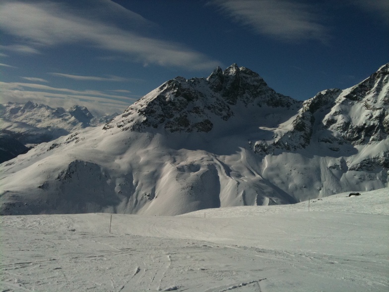
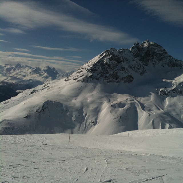
Latest snow reports near Pontresina/Engadin:
| Top snow depth: | — |
|---|---|
| Bottom snow depth: | — |
| Fresh snowfall depth: | 10 cm |
| Last snowfall: | 2 Jun 2026 |
| Snow Alerts | Create Alert |
0.1 | Bluebird Powder days Fresh snow, mostly sunny, light wind. |
|---|---|
0.1 | Powder days Fresh snow, limited sun, any wind. |
0.0 | Bluebird days Average snow, mostly sunny, light wind. |
The above table gives the weather forecast for Pontresina/Engadin at the specific elevation of 2430 m. Our sophisticated weather models allow us to provide snow forecasts for the top, middle and bottom ski stations of Pontresina/Engadin. To access the weather forecasts for the other elevations, use the tab navigation above the table. For a wider view of the weather, check out the Weather Map of Switzerland.
Click here to read further information on freezing levels and how we forecast our temperatures.


 Nearest