Mt Palandöken snow
Ski Turkey

Mt Palandöken Snow Forecast

Weather Forecast for Mt Palandoken at 3100 m
Issued: 8 am  22 Apr 2025 (local time)

New snow in Mt Palandöken

1.8cm0.7in
Tue 22nd (NGT)
The snow forecast for Mt Palandöken is: Mild with light rain (total 8.0mm) on Tue afternoon Becoming colder with a light covering of snow, mostly falling on Wed night. Freeze-thaw conditions (max 4°C on Thu afternoon, min -2°C on Thu night). Winds decreasing (strong winds from the SW on Tue night, light winds from the SSW by Wed night).

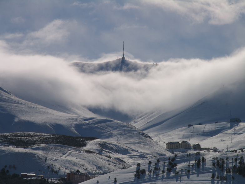
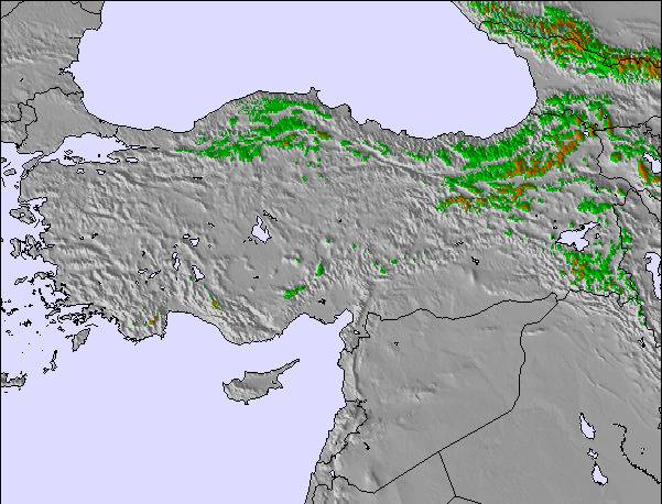
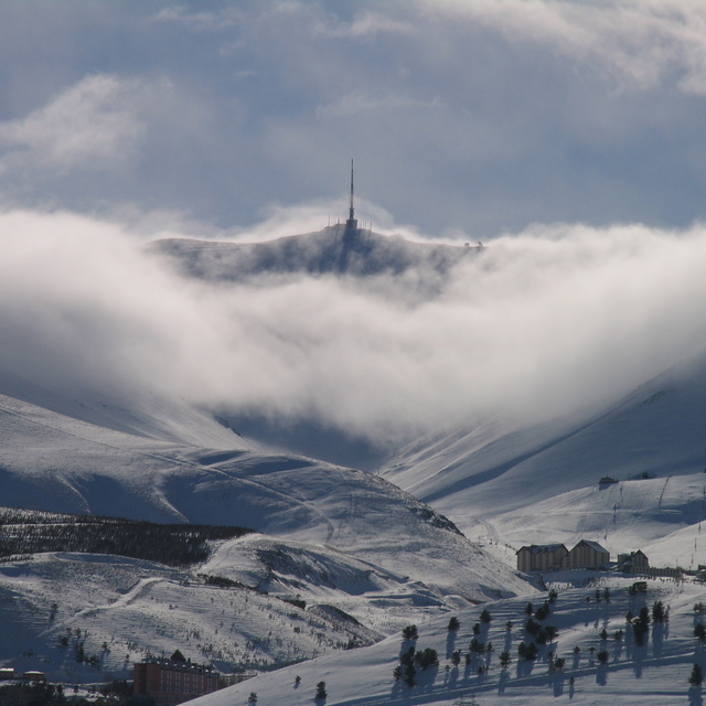
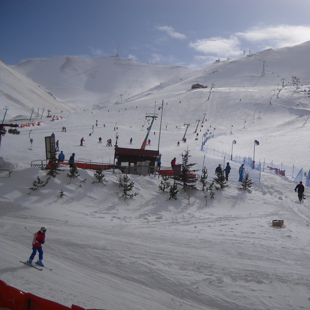
Mt Palandöken Weather (Next 3 days): The snow forecast for Mt Palandöken is: Mild with light rain (total 8.0mm) on Tue afternoon Becoming colder with a light covering of snow, mostly falling on Wed night. Freeze-thaw conditions (max 4°C on Thu afternoon, min -2°C on Thu night). Winds decreasing (strong winds from the SW on Tue night, light winds from the SSW by Wed night).

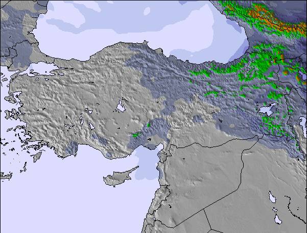
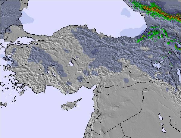
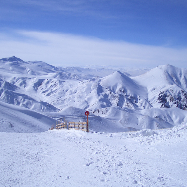
Mt Palandöken Weather (Days 4-6): A light covering of new snow, mostly falling on Sat night. Freeze-thaw conditions (max 3°C on Sat afternoon, min -3°C on Fri morning). Winds decreasing (strong winds from the SW on Fri afternoon, calm by Sun night).


Mt Palandöken Live Weather

ResortSnow DepthTemp. (°C)Wind (km/h)Weather
Top Lift: 
2
30
cloud
Middle Lift: 
6
25
cloud
Bottom Lift: 
11
20
cloud
Powered by Snow-Forecast.comSnow-Forecast.com
6 Day Forecast
Issued: 8 am 22 Apr 2025 / Updates in ::
Change Forecast Height
Choose Forecast
Last 6 daysScroll left for last 6 daysNow
Tuesday
22
Wednesday
23
Thursday
24
Friday
25
Saturday
26
Sunday
27
Monday
28
AM
PM
night
AM
PM
night
AM
PM
night
AM
PM
night
AM
PM
night
AM
PM
night
AM
PM
night
part cloud
light rain
snow showers
rain showers
snow showers
snow showers
rain showers
rain showers
light snow
snow showers
clear
clear
clear
light snow
snow showers
light snow
light snow
clear
part cloud
light rain
clear
some clouds
light rain
snow shwrs
rain shwrs
snow shwrs
snow shwrs
rain shwrs
rain shwrs
light snow
snow shwrs
clear
clear
clear
light snow
snow shwrs
light snow
light snow
clear
some clouds
light rain
clear
 km/h
25
SSW
40
SW
45
SW
30
SW
50
SW
30
SW
15
SW
40
SW
45
SSW
35
SSW
45
SW
25
SW
20
SSW
40
SSW
40
SSW
20
WSW
25
W
5
WNW
5
SE
5
SSE
10
SSW
Snow map
 cm 
2.0
1.0
4
1.0
1.0
4
 mm 
1.0
1.0
2.0
1.0
1.0
1.0
1.0
1.0
max°C
2
3
2
3
3
2
3
4
2
0
1
0
2
3
0
-1
0
-1
0
3
2
min°C
0
2
1
2
2
1
2
2
-2
-3
0
-1
-1
-1
-2
-2
-1
-2
-2
2
1
chill°C 
-6
-5
-6
-4
-5
-5
-2
-5
-9
-11
-7
-7
-6
-7
-8
-8
-6
-2
-4
0
-3
Humid% 
46
55
79
69
68
91
76
61
71
100
59
85
80
56
78
84
77
78
80
71
67
Freezing level (m
3150
3450
3300
3400
3550
3250
3350
3650
3250
2700
3250
3000
2950
3450
3100
2800
3100
2900
2850
3400
3350
topliftbotliftSea lvl1000m2000m3000m4000m5000m
132332330-21-111-1-2-1-2-13210116111051112679491048948117
Sunrise
5:26
5:26
5:24
5:22
5:22
5:20
5:18
Sunset
6:59
7:00
7:00
7:01
7:02
7:04
7:05

Snow Radar

Latest snow reports near Mt Palandöken:

No recent snow reports

No recent snow reports

Mt Palandöken Snow Conditions

Top snow depth:
Bottom snow depth:
Fresh snowfall depth:
Last snowfall:19 Apr 2025
Snow AlertsCreate Alert
Other resorts in Turkey are reporting: powder (0) / good piste (0)

Snow-Forecast Partner Offers

Snow History

Week 4 of April has on average:
0.8
Bluebird Powder days
Fresh snow, mostly sunny, light wind.
0.7
Powder days
Fresh snow, limited sun, any wind.
1.2
Bluebird days
Average snow, mostly sunny, light wind.


Snow-Forecast Partner Offers