North America Weekly Snow Roundup #308
Weekly Snow News for North America, updated 2 April 2026: US resorts close early amid +20°C warmth, while Canada sees up to 64cm (26") snowfall and strong coverage.


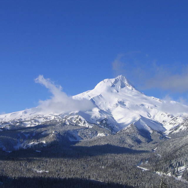
Mt Hood Meadows Weather (Next 3 days): The snow forecast for Mt Hood Meadows is: Mostly dry. Very mild (max 10°C on Mon afternoon, min 5°C on Fri night). Winds increasing (calm on Sat morning, fresh winds from the W by Mon afternoon).
Mt Hood Meadows Weather (Days 4-6): Mostly dry. Freeze-thaw conditions (max 7°C on Mon night, min -3°C on Wed morning). Winds decreasing (strong winds from the W on Tue morning, calm by Thu morning).
| Resort | Snow Depth | Temp. (°C) | Wind (km/h) | Weather | ||
|---|---|---|---|---|---|---|
| Top Lift: | 0.9 m | 3 | ||||
| Middle Lift: | 5 | |||||
| Bottom Lift: | 0.25 m | 4 |

Saturday 4 | Sunday 5 | Monday 6 | Tuesday 7 | Wednesday 8 | ||||||||||||
night | AM | PM | night | AM | PM | night | AM | PM | night | AM | PM | night | AM | PM | night | |
clear | clear | clear | cloudy | cloudy | cloudy | cloudy | clear | clear | some clouds | some clouds | clear | clear | clear | some clouds | clear | |
km/h | ||||||||||||||||
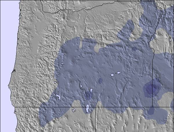
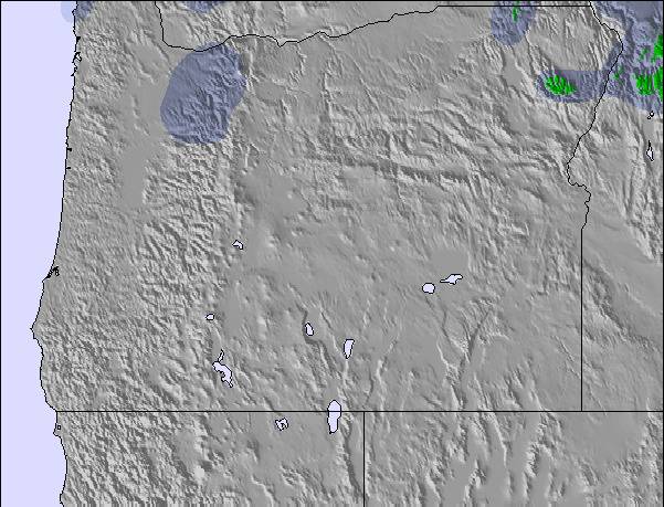
Snow map | 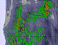 | 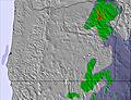 | 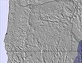 | 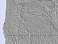 |  | 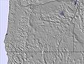 | ||||||||||
— | — | — | — | — | — | — | — | — | — | — | — | — | — | — | — | |
— | — | — | — | — | — | — | — | — | — | — | — | — | — | — | — | |
max °C | 5 | 6 | 9 | 9 | 8 | 9 | 9 | 9 | 10 | 7 | -1 | 1 | -1 | -1 | 0 | -1 |
min °C | 5 | 6 | 8 | 8 | 8 | 9 | 8 | 8 | 9 | 0 | -1 | 1 | -2 | -3 | 0 | -3 |
3 | 6 | 8 | 6 | 6 | 8 | 8 | 7 | 5 | -8 | -9 | -5 | -8 | -9 | -5 | -6 | |
41 | 45 | 46 | 37 | 46 | 53 | 51 | 49 | 43 | 61 | 42 | 43 | 58 | 41 | 50 | 64 | |
2800 | 3050 | 3200 | 3250 | 3250 | 3200 | 3100 | 3000 | 2950 | 2700 | 1350 | 2100 | 1350 | 1600 | 1750 | 1500 | |
— | 6:41 | — | — | 6:39 | — | — | 6:37 | — | — | 6:35 | — | — | 6:33 | — | — | |
— | — | 7:37 | — | — | 7:38 | — | — | 7:39 | — | — | 7:42 | — | — | 7:43 | — | |
Mostly dry. Very mild (max 10°C on Mon afternoon, min 5°C on Fri night). Winds increasing (calm on Sat morning, fresh winds from the W by Mon afternoon).
Mostly dry. Freeze-thaw conditions (max 7°C on Mon night, min -3°C on Wed morning). Winds decreasing (strong winds from the W on Tue morning, calm by Thu morning).
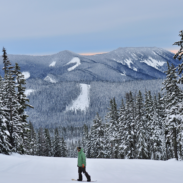
Latest snow reports near Mt Hood Meadows:
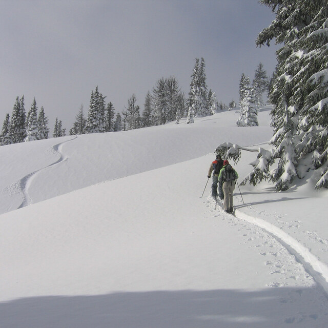
Snowing at a moderate rate at Timberline. from Timberline
| Top snow depth: | 85 cm |
|---|---|
| Bottom snow depth: | 25 cm |
| Fresh snowfall depth: | 20 cm |
| Last snowfall: | 2 Apr 2026 |
| Snow Alerts | Create Alert |
1.0 | Bluebird Powder days Fresh snow, mostly sunny, light wind. |
|---|---|
2.2 | Powder days Fresh snow, limited sun, any wind. |
0.3 | Bluebird days Average snow, mostly sunny, light wind. |
The above table gives the weather forecast for Mt Hood Meadows at the specific elevation of 1802 m. Our sophisticated weather models allow us to provide snow forecasts for the top, middle and bottom ski stations of Mt Hood Meadows. To access the weather forecasts for the other elevations, use the tab navigation above the table. For a wider view of the weather, check out the Weather Map of United States.
Click here to read further information on freezing levels and how we forecast our temperatures.
Overall 3.1 Based on 162 votes and 177 reviews
If you want a truly terrible experience where you feel as though a millionaire is taking advantage of you, go to Meadows. Nothing says IDGAF like paying Jackson Hole prices and receiving an overflowing porta potty in the parking lot with lift lines as long as the access road. When the resort ownership passed from the founder to his son it was all downhill from there. That said, they have the best terrain on Hood (a monopoly) and when it's on, it's on. So here's to hoping they'll sell as soon as possible.
They don't care from United States writes:
If you want a truly terrible experience where you feel as though a millionaire is taking advantage of you, go to Meadows. Nothing says IDGAF like paying Jackson Hole prices and receiving an overflowing porta potty in the parking lot with lift lines as long as the access road. When the resort ownership passed from the founder to his son it was all downhill from there.
That said, they have the best terrain on Hood (a monopoly) and when it's on, it's on. So here's to hoping they'll sell as soon as possible.

 Nearest