
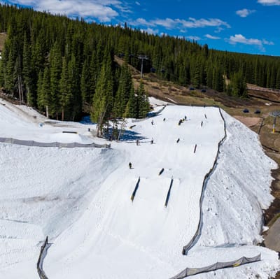
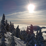
Colorado’s Summer Snowpark Opening More Days This Year
The summer terrain park at Colorado’s Copper Mountain will be open four days a week this year, extending from three days previously.

Next 3 days weather summary:Mild with light rain (total 7.0mm) on Sun night Becoming colder with a light covering of snow, mostly falling on Mon morning. Freeze-thaw conditions (max 9°C on Tue afternoon, min 0°C on Sun night). Winds decreasing (fresh winds from the SSE on Sun night, calm by Mon night). | Days 4-6 weather summary:Light rain (total 5.0mm), mostly falling on Fri afternoon. Very mild (max 13°C on Wed afternoon, min 1°C on Fri night). Wind will be generally light. | |||||||||||||||||
Sunday 24 | Monday 25 | Tuesday 26 | Wednesday 27 | Thursday 28 | Friday 29 | |||||||||||||
AM | PM | night | AM | PM | night | AM | PM | night | AM | PM | night | AM | PM | night | AM | PM | night | |
cloudy | light rain | light snow | light snow | light snow | rain shwrs | some clouds | clear | clear | clear | clear | clear | clear | some clouds | cloudy | cloudy | rain shwrs | snow shwrs | |
km/h | ||||||||||||||||||
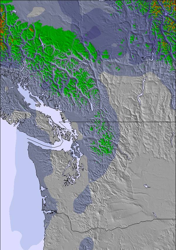
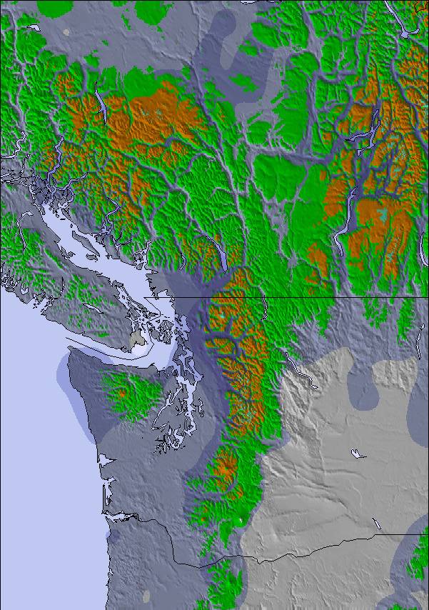
Snow map | 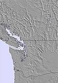 |  | 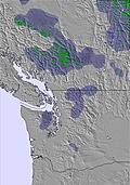 | 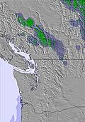 | 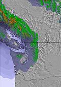 | 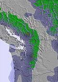 | ||||||||||||
— | — | 2 | 3 | 1 | — | — | — | — | — | — | — | — | — | — | — | — | — | |
— | 1 | 3 | — | — | 3 | — | — | — | — | — | — | — | — | — | — | 3 | 2 | |
max °C | 5 | 6 | 5 | 1 | 2 | 3 | 5 | 9 | 8 | 9 | 13 | 13 | 11 | 12 | 11 | 5 | 5 | 4 |
min °C | 3 | 5 | 0 | 0 | 1 | 2 | 3 | 7 | 8 | 9 | 12 | 11 | 10 | 11 | 7 | 5 | 4 | 1 |
2 | 2 | -7 | -7 | -4 | 0 | -1 | 5 | 6 | 7 | 12 | 11 | 10 | 11 | 7 | 4 | 2 | 1 | |
71 | 84 | 93 | 99 | 99 | 83 | 85 | 64 | 64 | 60 | 54 | 67 | 71 | 73 | 76 | 88 | 88 | 93 | |
2200 | 2300 | 1600 | 1450 | 1650 | 1850 | 2300 | 2650 | 3250 | 3650 | 3600 | 3650 | 3450 | 3150 | 2900 | 2150 | 2000 | 1600 | |
5:24 | — | — | 5:24 | — | — | 5:22 | — | — | 5:22 | — | — | 5:20 | — | — | 5:20 | — | — | |
— | — | 9:10 | — | — | 9:12 | — | — | 9:13 | — | — | 9:14 | — | — | 9:15 | — | — | 9:15 | |
Latest snow reports near Mount Washington:
| Top snow depth: | 0 cm |
|---|---|
| Bottom snow depth: | 0 cm |
| Fresh snowfall depth: | — |
| Last snowfall: | 16 May 2026 |
| Snow Alerts | Create Alert |
0.0 | Bluebird Powder days Fresh snow, mostly sunny, light wind. |
|---|---|
0.0 | Powder days Fresh snow, limited sun, any wind. |
0.0 | Bluebird days Average snow, mostly sunny, light wind. |
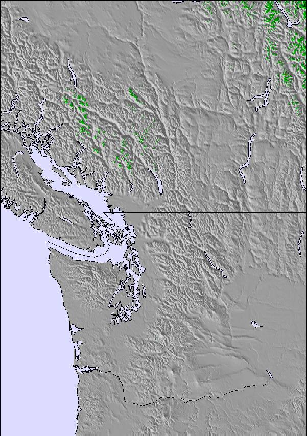
The above table gives the weather forecast for Mount Washington at the specific elevation of 1336 m. Our sophisticated weather models allow us to provide snow forecasts for the top, middle and bottom ski stations of Mount Washington. To access the weather forecasts for the other elevations, use the tab navigation above the table. For a wider view of the weather, check out the Weather Map of Canada.
Click here to read further information on freezing levels and how we forecast our temperatures.
Overall 3.2 Based on 220 votes and 377 reviews
Big dump coming this weekend. Be there. MAR. 8-9.2025. [note from the editor: post will remain in place for a short time.)
CHICO from Canada writes:
Big dump coming this weekend. Be there. MAR. 8-9.2025.
[note from the editor: post will remain in place for a short time.)
Read 376 more reviews of Mount Washington or submit your own

 Nearest