

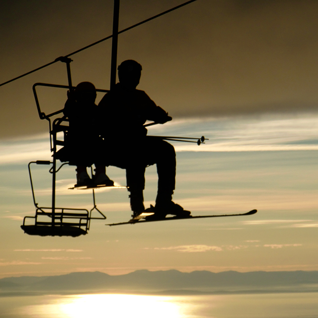
New Highest Lift in Australia Officially Open
Australia’s Perisher ski area, the country’s largest, has celebrated the official opening of the Mt Perisher 6 Chairlift, a six-seater, high-speed detachable chairlift with an opening ceremony.
By using Snow-Forecast, you agree to our Terms & Services.
Don't have an account? Join now
Alternatively, you can now use your Outside account to sign in to any brand in the Outside digital ecosystem, including Snow-Forecast, Surf-Forecast, and Mountain-Forecast.


Mt Seymour Weather (Next 3 days): The snow forecast for Mt Seymour is: Mostly dry. Warm (max 25°C on Wed afternoon, min 13°C on Mon morning). Wind will be generally light.
Mt Seymour Weather (Days 4-6): Light rain (total 2.0mm), mostly falling on Fri morning. Warm (max 22°C on Thu afternoon, min 10°C on Sat night). Wind will be generally light.
| Resort | Snow Depth | Temp. (°C) | Wind (km/h) | Weather | ||
|---|---|---|---|---|---|---|
| Top Lift: | 0.0 m | 16 | ||||
| Bottom Lift: | 0.0 m | 19 |
Latest snow reports near Mt Seymour:

Monday 28 | Tuesday 29 | Wednesday 30 | Thursday 31 | Friday 1 | Saturday 2 | Sunday 3 | |||||||||||||||
AM | PM | night | AM | PM | night | AM | PM | night | AM | PM | night | AM | PM | night | AM | PM | night | AM | PM | night | |
clear | clear | clear | clear | clear | clear | clear | clear | clear | some clouds | some clouds | cloudy | light rain | rain shwrs | some clouds | some clouds | clear | some clouds | cloudy | light rain | light rain | |
km/h | |||||||||||||||||||||
Snow map | 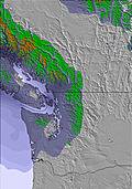 | 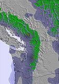 | 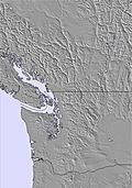 | 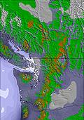 |  | 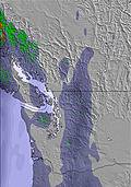 | 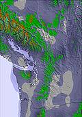 | ||||||||||||||
— | — | — | — | — | — | — | — | — | — | — | — | — | — | — | — | — | — | — | — | — | |
— | — | — | — | — | — | — | — | — | — | — | — | 1 | 1 | — | — | — | — | — | 2 | 1 | |
max°C | 16 | 19 | 16 | 20 | 23 | 19 | 22 | 25 | 20 | 20 | 22 | 18 | 13 | 17 | 15 | 15 | 18 | 15 | 11 | 11 | 9 |
min°C | 13 | 18 | 13 | 16 | 22 | 15 | 18 | 24 | 16 | 18 | 21 | 13 | 13 | 16 | 11 | 13 | 17 | 10 | 10 | 10 | 8 |
12 | 18 | 13 | 16 | 22 | 15 | 18 | 24 | 16 | 18 | 21 | 13 | 13 | 16 | 11 | 13 | 17 | 10 | 9 | 9 | 8 | |
59 | 42 | 46 | 43 | 34 | 42 | 39 | 28 | 42 | 48 | 52 | 75 | 89 | 71 | 78 | 77 | 52 | 66 | 81 | 85 | 97 | |
3650 | 3800 | 4000 | 4050 | 4150 | 4250 | 4200 | 4200 | 4150 | 4200 | 4250 | 4000 | 3600 | 3700 | 3650 | 3550 | 3600 | 3400 | 2900 | 2600 | 2550 | |
5:37 | — | — | 5:39 | — | — | 5:39 | — | — | 5:41 | — | — | 5:43 | — | — | 5:43 | — | — | 5:45 | — | — | |
— | — | 8:58 | — | — | 8:55 | — | — | 8:54 | — | — | 8:52 | — | — | 8:52 | — | — | 8:50 | — | — | 8:49 | |
Mostly dry. Warm (max 25°C on Wed afternoon, min 13°C on Mon morning). Wind will be generally light.
Light rain (total 2.0mm), mostly falling on Fri morning. Warm (max 22°C on Thu afternoon, min 10°C on Sat night). Wind will be generally light.
Latest snow reports near Mt Seymour:
| Top snow depth: | 0 cm |
|---|---|
| Bottom snow depth: | 0 cm |
| Fresh snowfall depth: | — |
| Last snowfall: | 20 May 2025 |
| Snow Alerts | Create Alert |
0.0 | Bluebird Powder days Fresh snow, mostly sunny, light wind. |
|---|---|
0.0 | Powder days Fresh snow, limited sun, any wind. |
0.0 | Bluebird days Average snow, mostly sunny, light wind. |
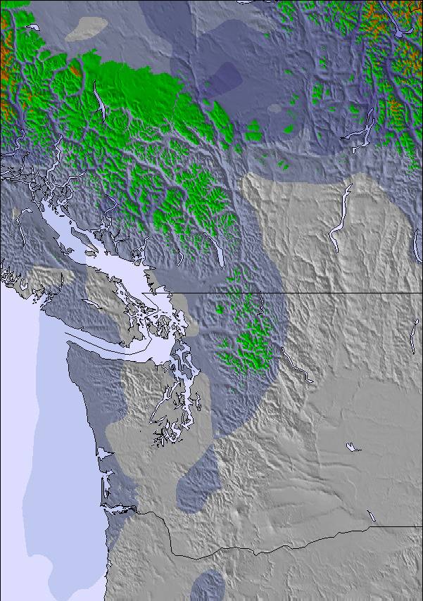
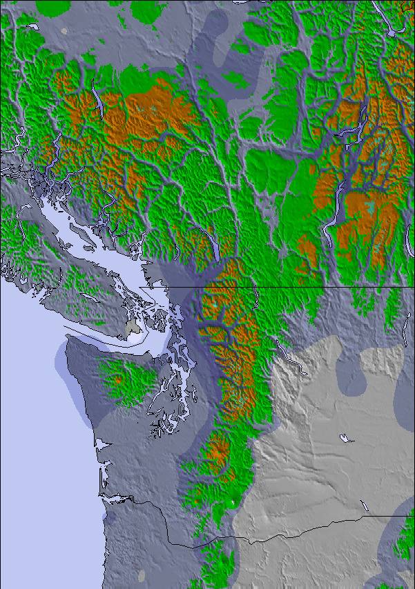
The above table gives the weather forecast for Mt Seymour at the specific elevation of 936 m. Our sophisticated weather models allow us to provide snow forecasts for the top, middle and bottom ski stations of Mt Seymour. To access the weather forecasts for the other elevations, use the tab navigation above the table. For a wider view of the weather, check out the Weather Map of Canada.
Click here to read further information on freezing levels and how we forecast our temperatures.
Overall 3.7 Based on 68 votes and 43 reviews
We have been pass holders at Seymour for 5 years. It's our local, low-key, family-friendly mountain and we love it like you love a scruffy, eccentric old relative. The best thing this year has been the restrictions brought in to limit numbers during the pandemic - usually we cannot get near the parking lot during the winter holidays, but with pre-booking ski time and parking, we have skied more often. Don't come here if you expect snow-makers, perfectly groomed slopes, luxury dining and retail; its a few functional buildings at the top of a mountain and its a lot of fun!
JT from Canada writes:
We have been pass holders at Seymour for 5 years. It's our local, low-key, family-friendly mountain and we love it like you love a scruffy, eccentric old relative. The best thing this year has been the restrictions brought in to limit numbers during the pandemic - usually we cannot get near the parking lot during the winter holidays, but with pre-booking ski time and parking, we have skied more often. Don't come here if you expect snow-makers, perfectly groomed slopes, luxury dining and retail; its a few functional buildings at the top of a mountain and its a lot of fun!
The Mt Seymour skiing weather widget is available to embed on external websites free of charge. It provides a daily summary of our Mt Seymour snow forecast and current weather conditions. Simply go to the feed configuration page and follow the 3 simple steps to grab the custom html code snippet and paste it into your own site. You can choose the snow forecast elevation (summit, mid-mountain or bottom lift) and metric/imperial units for the snow forecast feed to suit your own website…. Click here to get the code.
View detailed snow forecast for Mt Seymour at:
snow-forecast.com

 Nearest