

French Ski Areas Announce 2025 Summer Ski Plans
Three French ski areas have announced their opening plans in May, June and July after the winter season ends on May 4th.
Please sign in with your Snow-Forecast account details below.
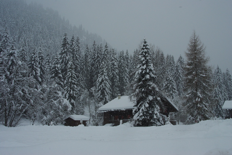

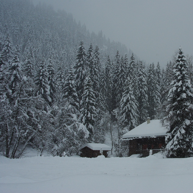
Morgins - Les Portes du Soleil Weather (Next 3 days): The snow forecast for Morgins - Les Portes du Soleil is: A heavy fall of snow, heaviest during Wed night. Temperatures will be below freezing (max 0°C on Tue night, min -5°C on Wed night). Wind will be generally light.
Morgins - Les Portes du Soleil Weather (Days 4-6): A light covering of new snow, mostly falling on Sun night. Temperatures will be below freezing (max 0°C on Fri night, min -7°C on Sun night). Wind will be generally light.
| Resort | Snow Depth | Temp. (°C) | Wind (km/h) | Weather | ||
|---|---|---|---|---|---|---|
| Top Lift: | 0 | |||||
| Middle Lift: | 4 | |||||
| Bottom Lift: | 7 |
Latest snow reports near Morgins - Les Portes du Soleil:
Resort is closed for the season. Sunny weather this morning, clouds moving in this afternoon. from La Giettaz en Aravis

Wednesday 16 | Thursday 17 | Friday 18 | Saturday 19 | Sunday 20 | Monday 21 | ||||||||||||||
night | AM | PM | night | AM | PM | night | AM | PM | night | AM | PM | night | AM | PM | night | AM | PM | night | |
snow shwrs | light snow | mod. snow | heavy snow | mod. snow | light snow | light snow | light snow | some clouds | clear | some clouds | some clouds | some clouds | snow shwrs | light snow | light snow | light snow | light snow | light snow | |
km/h | |||||||||||||||||||
Snow map |  |  |  |  |  |  |  | ||||||||||||
1.0 | 1.0 | 6 | 16 | 6 | 1.0 | 4 | 1.0 | — | — | — | — | — | — | 2.0 | 5 | 2.0 | 1.0 | — | |
— | — | — | — | — | — | — | — | — | — | — | — | — | — | — | — | — | — | — | |
max°C | 0 | -3 | -3 | -4 | -4 | -2 | -4 | -3 | -2 | 0 | -1 | 0 | -1 | -3 | -3 | -4 | -7 | -6 | -5 |
min°C | -1 | -3 | -4 | -5 | -5 | -3 | -5 | -4 | -2 | -1 | -1 | -1 | -2 | -3 | -3 | -7 | -7 | -6 | -6 |
-6 | -7 | -6 | -9 | -9 | -7 | -9 | -8 | -7 | -6 | -4 | -4 | -6 | -8 | -7 | -12 | -10 | -6 | -6 | |
73 | 97 | 97 | 97 | 98 | 98 | 97 | 87 | 59 | 37 | 50 | 64 | 73 | 93 | 99 | 95 | 99 | 98 | 74 | |
2550 | 2200 | 1800 | 1550 | 1650 | 1950 | 1650 | 1750 | 2400 | 2550 | 2550 | 2700 | 2150 | 2250 | 2100 | 1600 | 1650 | 1900 | 1700 | |
— | 6:45 | — | — | 6:43 | — | — | 6:41 | — | — | 6:39 | — | — | 6:37 | — | — | 6:35 | — | — | |
— | — | — | 8:20 | — | — | 8:21 | — | — | 8:22 | — | — | 8:23 | — | — | 8:24 | — | — | 8:27 | |
A heavy fall of snow, heaviest during Wed night. Temperatures will be below freezing (max 0°C on Tue night, min -5°C on Wed night). Wind will be generally light.
A light covering of new snow, mostly falling on Sun night. Temperatures will be below freezing (max 0°C on Fri night, min -7°C on Sun night). Wind will be generally light.
Latest snow reports near Morgins - Les Portes du Soleil:
Resort is closed for the season. Sunny weather this morning, clouds moving in this afternoon. from La Giettaz en Aravis
| Top snow depth: | — |
|---|---|
| Bottom snow depth: | — |
| Fresh snowfall depth: | 1 cm |
| Last snowfall: | 14 Apr 2025 |
| Snow Alerts | Create Alert |
0.8 | Bluebird Powder days Fresh snow, mostly sunny, light wind. |
|---|---|
2.4 | Powder days Fresh snow, limited sun, any wind. |
1.1 | Bluebird days Average snow, mostly sunny, light wind. |
The above table gives the weather forecast for Morgins - Les Portes du Soleil at the specific elevation of 2741 m. Our sophisticated weather models allow us to provide snow forecasts for the top, middle and bottom ski stations of Morgins - Les Portes du Soleil. To access the weather forecasts for the other elevations, use the tab navigation above the table. For a wider view of the weather, check out the Weather Map of Switzerland.
Click here to read further information on freezing levels and how we forecast our temperatures.
Overall 4.0 Based on 3 votes and 5 reviews
Morgins is still a beautiful ski village and family orientated. Famillies with older teenagers (or younger parents!) will be pleased to hear that the two main bars in the village are under new management and have lots of events, djs, gigs and themed evenings planned for this winter. The night club also has French djs who come over to do guest spots. This doesn't detract from Morgins charm; it just adds an extra dimension to the place.
Heidi from United Kingdom writes:
Morgins is still a beautiful ski village and family orientated. Famillies with older teenagers (or younger parents!) will be pleased to hear that the two main bars in the village are under new management and have lots of events, djs, gigs and themed evenings planned for this winter. The night club also has French djs who come over to do guest spots. This doesn't detract from Morgins charm; it just adds an extra dimension to the place.
Read 4 more reviews of Morgins - Les Portes du Soleil or submit your own
The Morgins - Les Portes du Soleil skiing weather widget is available to embed on external websites free of charge. It provides a daily summary of our Morgins - Les Portes du Soleil snow forecast and current weather conditions. Simply go to the feed configuration page and follow the 3 simple steps to grab the custom html code snippet and paste it into your own site. You can choose the snow forecast elevation (summit, mid-mountain or bottom lift) and metric/imperial units for the snow forecast feed to suit your own website…. Click here to get the code.
View detailed snow forecast for Morgins - Les Portes du Soleil at:
snow-forecast.com


 Nearest