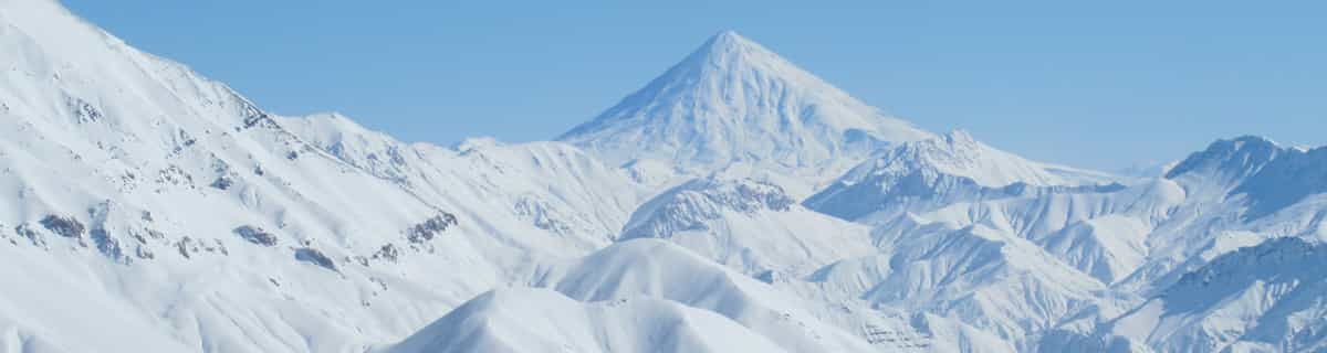

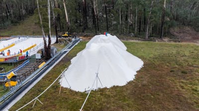
🇦🇺🇳🇿 Southern Hemisphere Weekly Snow Roundup #316
Weekly Snow News for the Southern Hemisphere, updated 28 May 2026: Cold temperatures, snowmaking and light snowfall raise optimism ahead of Australia and New Zealand’s 2026 ski season openings.

Next 4 days weather summary:Heavy rain (total 25.0mm), heaviest during Sat afternoon. Very mild (max 10°C on Fri night, min 2°C on Sat night). Winds increasing (calm on Fri night, fresh winds from the SW by Mon afternoon). | Days 5-7 weather summary:Moderate rain (total 12.0mm), heaviest on Wed night. Very mild (max 13°C on Wed afternoon, min 3°C on Mon night). Winds decreasing (fresh winds from the SW on Tue afternoon, calm by Wed afternoon). | |||||||||||||||
Saturday 30 | Sunday 31 | Monday 1 | Tuesday 2 | Wednesday 3 | ||||||||||||
night | AM | PM | night | AM | PM | night | AM | PM | night | AM | PM | night | AM | PM | night | |
light rain | light rain | mod. rain | light rain | light snow | light rain | rain shwrs | some clouds | rain shwrs | rain shwrs | cloudy | cloudy | clear | cloudy | light rain | mod. rain | |
km/h | ||||||||||||||||
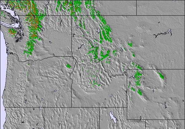
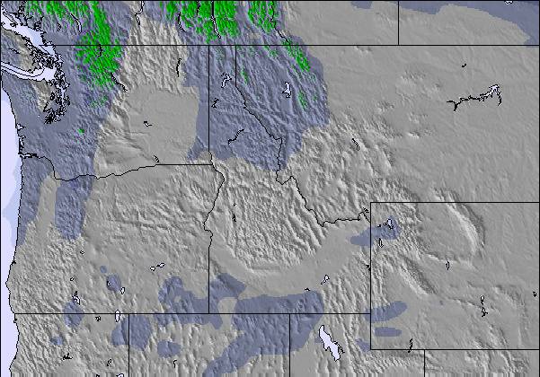
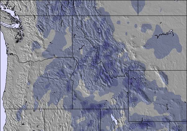
Snow map |  |  |  |  |  |  | ||||||||||
— | — | — | — | 1 | — | — | — | — | — | — | — | — | — | — | — | |
1 | 4 | 9 | 4 | 2 | 3 | 1 | — | 1 | 2 | — | — | — | — | 1 | 6 | |
max °C | 10 | 6 | 4 | 3 | 2 | 4 | 3 | 7 | 8 | 7 | 8 | 12 | 11 | 12 | 13 | 7 |
min °C | 7 | 6 | 3 | 2 | 2 | 3 | 3 | 4 | 8 | 3 | 7 | 11 | 8 | 11 | 10 | 4 |
7 | 4 | 1 | 0 | 0 | 0 | 1 | 1 | 4 | -2 | 3 | 8 | 6 | 8 | 10 | 2 | |
53 | 89 | 98 | 99 | 99 | 95 | 85 | 36 | 35 | 48 | 42 | 31 | 36 | 27 | 55 | 93 | |
4000 | 3550 | 3250 | 3000 | 2950 | 3050 | 3250 | 3200 | 3600 | 3700 | 3500 | 4050 | 4050 | 4100 | 4050 | 3550 | |
— | 5:41 | — | — | 5:41 | — | — | 5:41 | — | — | 5:39 | — | — | 5:39 | — | — | |
— | — | — | 9:01 | — | — | 9:02 | — | — | 9:04 | — | — | 9:05 | — | — | 9:05 | |
Latest snow reports near Moonlight Basin:
| Top snow depth: | — |
|---|---|
| Bottom snow depth: | — |
| Fresh snowfall depth: | — |
| Last snowfall: | 21 May 2026 |
| Snow Alerts | Create Alert |
0.1 | Bluebird Powder days Fresh snow, mostly sunny, light wind. |
|---|---|
0.7 | Powder days Fresh snow, limited sun, any wind. |
0.1 | Bluebird days Average snow, mostly sunny, light wind. |
The above table gives the weather forecast for Moonlight Basin at the specific elevation of 2628 m. Our sophisticated weather models allow us to provide snow forecasts for the top, middle and bottom ski stations of Moonlight Basin. To access the weather forecasts for the other elevations, use the tab navigation above the table. For a wider view of the weather, check out the Weather Map of United States.
Click here to read further information on freezing levels and how we forecast our temperatures.
Moonlight Basin has some of the best in-bounds terrain in the United States. The Headwaters Traverse - aka the Lord of the Rings Traverse - accesses a plethora of steep, interesting terrain. The traverse alone gets the adrenalin juices flowing. The Spring Run-Off Challenge is one of the few big mountain free ride competitions in SW Montana. With a Lone Peak Pass skiers and snowboarders can ride both Big Sky and Moonlight, which means access to the North Summit Snowfield, one of the longest runs in North America, over 4000 vertical feet. Moonlight's patrol does an amazing job in getting their terrain open and really encourages folks to get after it. Moonlight is also an ideal place for families and beginners. With little to no crowds ever, Moonlight has lots of space to cruise. The only downside are some flat sections on the lower mountain. If you are looking to bang out laps the Headwaters chair and the Lone Tree Lift allow one to rack up vertical quickly. Moonlight has a cool local scene and offers a cheaper alternative to neighboring Big Sky. For apres the Moonlight Lodge is a classy place where you can still get a PBR and plate of Nachos on a dirtbag budget.
CASA Tours from United States writes:
Moonlight Basin has some of the best in-bounds terrain in the United States. The Headwaters Traverse - aka the Lord of the Rings Traverse - accesses a plethora of steep, interesting terrain. The traverse alone gets the adrenalin juices flowing. The Spring Run-Off Challenge is one of the few big mountain free ride competitions in SW Montana. With a Lone Peak Pass skiers and snowboarders can ride both Big Sky and Moonlight, which means access to the North Summit Snowfield, one of the longest runs in North America, over 4000 vertical feet. Moonlight's patrol does an amazing job in getting their terrain open and really encourages folks to get after it.
Moonlight is also an ideal place for families and beginners. With little to no crowds ever, Moonlight has lots of space to cruise. The only downside are some flat sections on the lower mountain.
If you are looking to bang out laps the Headwaters chair and the Lone Tree Lift allow one to rack up vertical quickly.
Moonlight has a cool local scene and offers a cheaper alternative to neighboring Big Sky. For apres the Moonlight Lodge is a classy place where you can still get a PBR and plate of Nachos on a dirtbag budget.

 Nearest