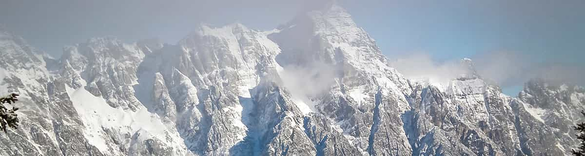


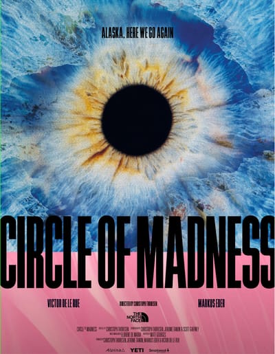
“Circle of Madness” – A Snow Sports Masterpiece that Pushes Limits and Redefines Greatness
Circle of Madness follows Markus Eder and Victor de Le Rue as they ride Alaska’s wild spines in a stunning ski and snowboard film. Directed by Christoph Thoresen and free on YouTube, it’s hailed as the snow sports film of the year—packed with insane lines and epic camaraderie.


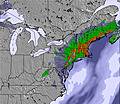
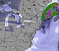
 Nearest
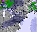