

Massive Snowfall in the Alps
A huge snowfall is underway in the Alps, by far the biggest of the 24-25 season.
Please sign in with your Snow-Forecast account details below.
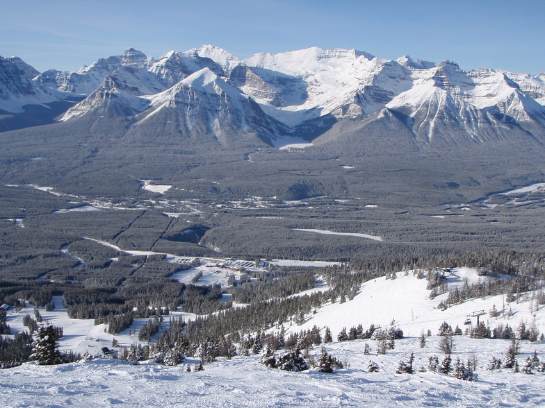

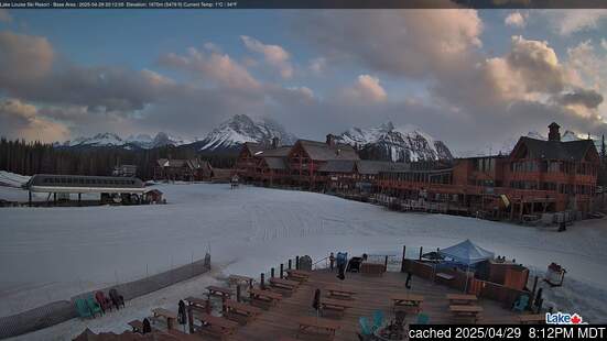
Lake Louise Weather (Next 3 days): The snow forecast for Lake Louise is: A moderate fall of snow, heaviest on Sun afternoon. Temperatures will be below freezing (max 0°C on Fri afternoon, min -9°C on Sun morning). Wind will be generally light.
Lake Louise Weather (Days 4-6): A moderate fall of snow, heaviest on Mon night. Temperatures will be below freezing (max -3°C on Wed afternoon, min -9°C on Mon morning). Wind will be generally light.
| Resort | Snow Depth | Temp. (°C) | Wind (km/h) | Weather | ||
|---|---|---|---|---|---|---|
| Top Lift: | 1.8 m | -4 | ||||
| Middle Lift: | -2 | |||||
| Bottom Lift: | 1.0 m | -1 |
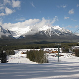
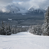
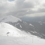
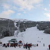
Latest snow reports near Lake Louise:

Friday 18 | Saturday 19 | Sunday 20 | Monday 21 | Tuesday 22 | Wednesday 23 | Thursday 24 | |||||||||||||||
AM | PM | night | AM | PM | night | AM | PM | night | AM | PM | night | AM | PM | night | AM | PM | night | AM | PM | night | |
clear | clear | some clouds | light snow | snow shwrs | mod. snow | light snow | light snow | light snow | light snow | light snow | heavy snow | light snow | light snow | snow shwrs | snow shwrs | light snow | snow shwrs | some clouds | snow shwrs | snow shwrs | |
km/h | |||||||||||||||||||||
Snow map |  |  |  | 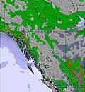 | 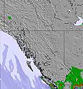 | 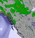 | 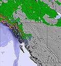 | ||||||||||||||
— | — | — | 1.0 | 1.0 | 6 | 2.0 | 4 | 4 | 1.0 | 3 | 10 | 1.0 | 1.0 | — | — | 1.0 | — | — | — | — | |
— | — | — | — | — | — | — | — | — | — | — | — | — | — | — | — | — | — | — | — | — | |
max°C | -1 | 0 | -1 | -4 | -3 | -4 | -8 | -7 | -8 | -8 | -6 | -7 | -8 | -6 | -7 | -6 | -3 | -4 | -4 | -2 | -3 |
min°C | -4 | -1 | -4 | -4 | -3 | -8 | -9 | -8 | -9 | -9 | -7 | -9 | -9 | -7 | -8 | -7 | -4 | -6 | -5 | -2 | -4 |
-7 | -4 | -8 | -8 | -8 | -11 | -12 | -11 | -12 | -12 | -10 | -12 | -9 | -10 | -8 | -7 | -7 | -6 | -7 | -5 | -7 | |
43 | 58 | 59 | 96 | 75 | 93 | 94 | 93 | 93 | 94 | 89 | 92 | 75 | 70 | 76 | 76 | 62 | 77 | 71 | 65 | 85 | |
1700 | 2450 | 2250 | 1950 | 2250 | 1800 | 1400 | 1650 | 1250 | 1350 | 1800 | 1400 | 1400 | 1800 | 1150 | 1650 | 2100 | 1600 | 1900 | 2350 | 1850 | |
6:43 | — | — | 6:39 | — | — | 6:37 | — | — | 6:35 | — | — | 6:33 | — | — | 6:31 | — | — | 6:30 | — | — | |
— | 8:45 | — | — | 8:46 | — | — | 8:47 | — | — | 8:50 | — | — | 8:52 | — | — | 8:52 | — | — | 8:54 | — | |
A moderate fall of snow, heaviest on Sun afternoon. Temperatures will be below freezing (max 0°C on Fri afternoon, min -9°C on Sun morning). Wind will be generally light.
A moderate fall of snow, heaviest on Mon night. Temperatures will be below freezing (max -3°C on Wed afternoon, min -9°C on Mon morning). Wind will be generally light.
Latest snow reports near Lake Louise:
| Top snow depth: | 181 cm |
|---|---|
| Bottom snow depth: | 95 cm |
| Fresh snowfall depth: | 3.0 cm |
| Last snowfall: | 16 Apr 2025 |
| Snow Alerts | Create Alert |
0.6 | Bluebird Powder days Fresh snow, mostly sunny, light wind. |
|---|---|
2.4 | Powder days Fresh snow, limited sun, any wind. |
0.9 | Bluebird days Average snow, mostly sunny, light wind. |


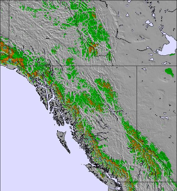
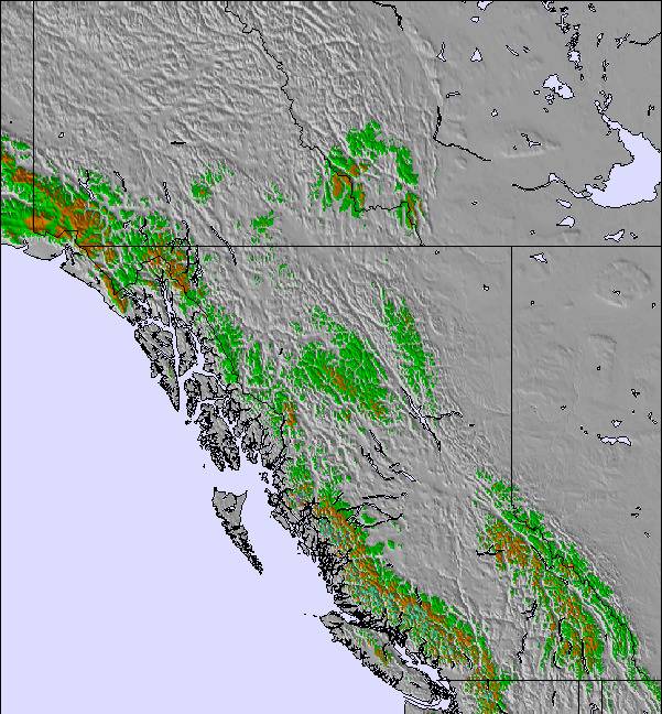
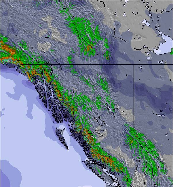
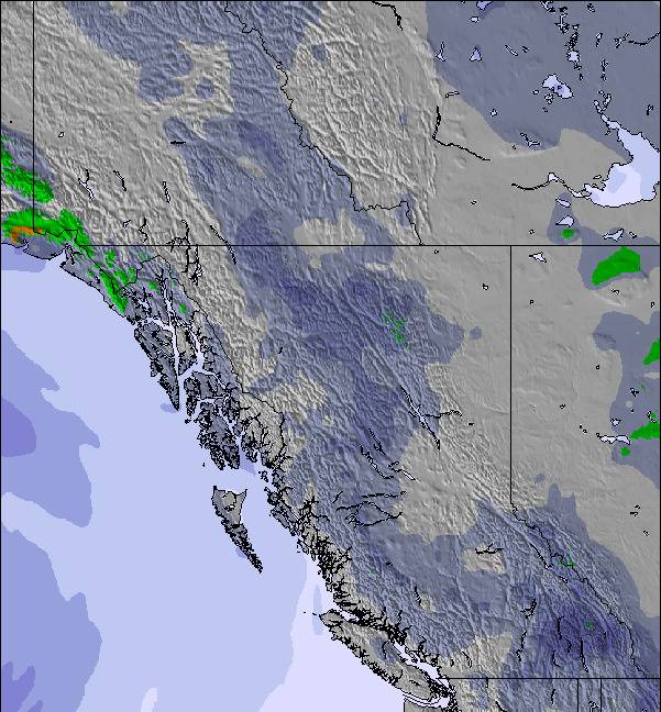
The above table gives the weather forecast for Lake Louise at the specific elevation of 2636 m. Our sophisticated weather models allow us to provide snow forecasts for the top, middle and bottom ski stations of Lake Louise. To access the weather forecasts for the other elevations, use the tab navigation above the table. For a wider view of the weather, check out the Weather Map of Canada.
Click here to read further information on freezing levels and how we forecast our temperatures.
Overall 3.8 Based on 36 votes and 40 reviews
Much overrated hill. Too much grooming. Most of the runs are groomed which make skiing very boring. The front side is only for beginners. Snow report is misleading at best. Don't waste your time on this hill. For my money Norquay has much better skiing, especially the runs serviced by the North America chair.
mike delorme from Canada writes:
Much overrated hill. Too much grooming. Most of the runs are groomed which make skiing very boring. The front side is only for beginners. Snow report is misleading at best. Don't waste your time on this hill. For my money Norquay has much better skiing, especially the runs serviced by the North America chair.
The Lake Louise skiing weather widget is available to embed on external websites free of charge. It provides a daily summary of our Lake Louise snow forecast and current weather conditions. Simply go to the feed configuration page and follow the 3 simple steps to grab the custom html code snippet and paste it into your own site. You can choose the snow forecast elevation (summit, mid-mountain or bottom lift) and metric/imperial units for the snow forecast feed to suit your own website…. Click here to get the code.
View detailed snow forecast for Lake Louise at:
snow-forecast.com

 Nearest