

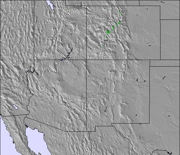
Massive Snowfall in the Alps
A huge snowfall is underway in the Alps, by far the biggest of the 24-25 season.
Please sign in with your Snow-Forecast account details below.

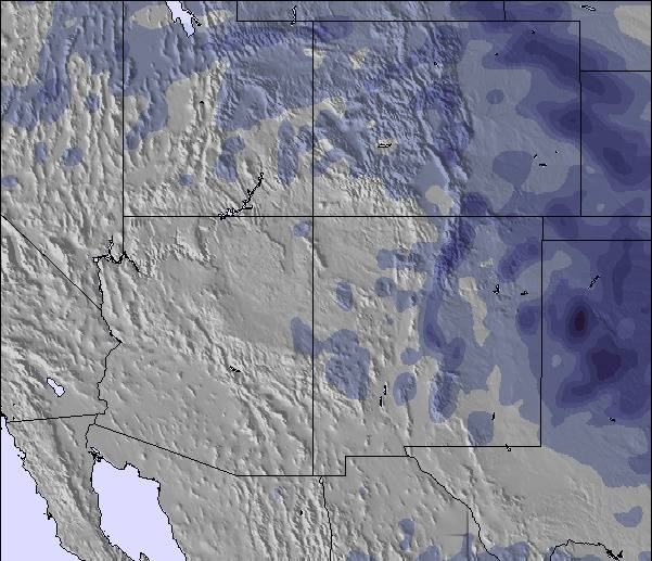
Keystone Weather (Next 3 days): The snow forecast for Keystone is: A moderate fall of snow, heaviest on Sat night. Becoming mild with drizzle, on Mon afternoon. Freeze-thaw conditions (max 4°C on Mon afternoon, min -16°C on Fri night). Winds increasing (calm on Sat afternoon, fresh winds from the WSW by Mon afternoon).
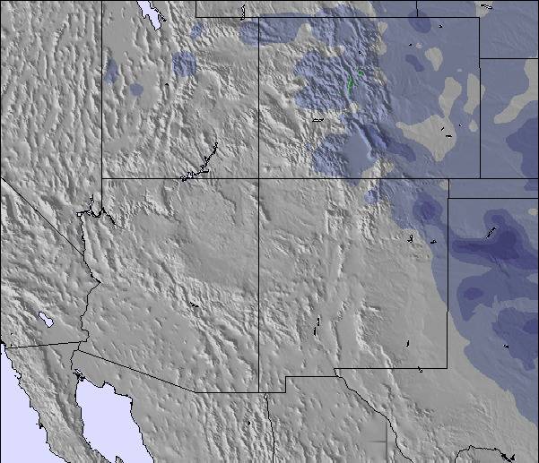
Keystone Weather (Days 4-6): Light rain (total 8.0mm), mostly falling on Thu afternoon. Freeze-thaw conditions (max 6°C on Wed morning, min -5°C on Mon night). Wind will be generally light.
| Resort | Snow Depth | Temp. (°C) | Wind (km/h) | Weather | ||
|---|---|---|---|---|---|---|
| Top Lift: | 0.0 m | -16 | ||||
| Middle Lift: | -14 | |||||
| Bottom Lift: | 0.0 m | -11 |
Latest snow reports near Keystone:
Light snow reported from Leadville Airport at 9820 feet 5 miles S of Ski Cooper but it is probably falling as rain apart from near the top of the ski area from Ski Cooper
It is snowing steadily at Breckenridge. from Breckenridge

Saturday 19 | Sunday 20 | Monday 21 | Tuesday 22 | Wednesday 23 | Thursday 24 | ||||||||||||||
night | AM | PM | night | AM | PM | night | AM | PM | night | AM | PM | night | AM | PM | night | AM | PM | night | |
light snow | light snow | light snow | light snow | snow shwrs | snow shwrs | snow shwrs | clear | risk thun- der | clear | some clouds | light rain | snow shwrs | some clouds | rain shwrs | some clouds | rain shwrs | risk thun- der | snow shwrs | |
km/h | |||||||||||||||||||
Snow map |  |  |  |  |  |  | 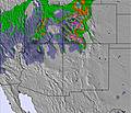 | ||||||||||||
3 | — | 3 | 3 | — | — | — | — | — | — | — | — | — | — | — | — | — | — | 1.0 | |
— | — | — | — | — | — | — | — | 1.0 | — | — | 1.0 | — | — | 2.0 | — | 1.0 | 4 | — | |
max°C | -10 | -5 | -3 | -7 | -3 | -1 | -6 | 3 | 4 | -3 | 4 | 5 | -2 | 6 | 4 | 1 | 6 | 6 | -1 |
min°C | -16 | -8 | -4 | -13 | -6 | -1 | -8 | 1 | 3 | -5 | 2 | 4 | -2 | 3 | 4 | -2 | 2 | 2 | -2 |
-21 | -8 | -4 | -17 | -10 | -6 | -11 | -3 | -2 | -8 | -2 | 1 | -2 | 0 | 1 | -4 | -1 | 2 | -4 | |
96 | 80 | 75 | 93 | 71 | 62 | 85 | 46 | 45 | 74 | 42 | 30 | 66 | 40 | 51 | 65 | 63 | 43 | 93 | |
1100 | 1950 | 2800 | 1950 | 2350 | 3150 | 2100 | 3350 | 3700 | 2650 | 3450 | 3800 | 2950 | 3650 | 3800 | 3200 | 3550 | 3950 | 3000 | |
— | 6:20 | — | — | 6:18 | — | — | 6:18 | — | — | 6:16 | — | — | 6:15 | — | — | 6:13 | — | — | |
— | — | 7:45 | — | — | 7:45 | — | — | 7:46 | — | — | 7:47 | — | — | 7:49 | — | — | 7:50 | — | |
A moderate fall of snow, heaviest on Sat night. Becoming mild with drizzle, on Mon afternoon. Freeze-thaw conditions (max 4°C on Mon afternoon, min -16°C on Fri night). Winds increasing (calm on Sat afternoon, fresh winds from the WSW by Mon afternoon).
Light rain (total 8.0mm), mostly falling on Thu afternoon. Freeze-thaw conditions (max 6°C on Wed morning, min -5°C on Mon night). Wind will be generally light.
Latest snow reports near Keystone:
Light snow reported from Leadville Airport at 9820 feet 5 miles S of Ski Cooper but it is probably falling as rain apart from near the top of the ski area from Ski Cooper
It is snowing steadily at Breckenridge. from Breckenridge
| Top snow depth: | 0 cm |
|---|---|
| Bottom snow depth: | 0 cm |
| Fresh snowfall depth: | 8 cm |
| Last snowfall: | 17 Apr 2025 |
| Snow Alerts | Create Alert |
0.8 | Bluebird Powder days Fresh snow, mostly sunny, light wind. |
|---|---|
1.5 | Powder days Fresh snow, limited sun, any wind. |
1.0 | Bluebird days Average snow, mostly sunny, light wind. |
The above table gives the weather forecast for Keystone at the specific elevation of 3240 m. Our sophisticated weather models allow us to provide snow forecasts for the top, middle and bottom ski stations of Keystone. To access the weather forecasts for the other elevations, use the tab navigation above the table. For a wider view of the weather, check out the Weather Map of United States.
Click here to read further information on freezing levels and how we forecast our temperatures.
Overall 3.9 Based on 6 votes and 5 reviews
Skied Keystone Jan 2013. I found this resort to be well organised and family friendly. The snow was excellent considering lack of recent snowfall but the high altitude kept it in pristine condition. As an advanced skier I was happy with the runs on offer and loved those long green/blue runs back to the village. Good on-mountain facilities available and lift queues pretty much non existent once on the mountain. Price wise, this resort is no different from any other big resort. Looking forward to going back again during 2016.
Michael from Australia writes:
Skied Keystone Jan 2013. I found this resort to be well organised and family friendly. The snow was excellent considering lack of recent snowfall but the high altitude kept it in pristine condition. As an advanced skier I was happy with the runs on offer and loved those long green/blue runs back to the village. Good on-mountain facilities available and lift queues pretty much non existent once on the mountain. Price wise, this resort is no different from any other big resort. Looking forward to going back again during 2016.
The Keystone skiing weather widget is available to embed on external websites free of charge. It provides a daily summary of our Keystone snow forecast and current weather conditions. Simply go to the feed configuration page and follow the 3 simple steps to grab the custom html code snippet and paste it into your own site. You can choose the snow forecast elevation (summit, mid-mountain or bottom lift) and metric/imperial units for the snow forecast feed to suit your own website…. Click here to get the code.
View detailed snow forecast for Keystone at:
snow-forecast.com

 Nearest