

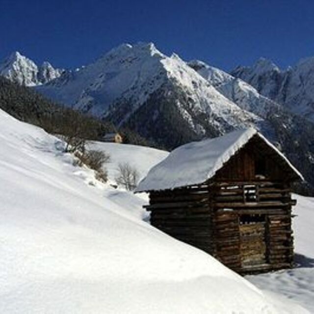
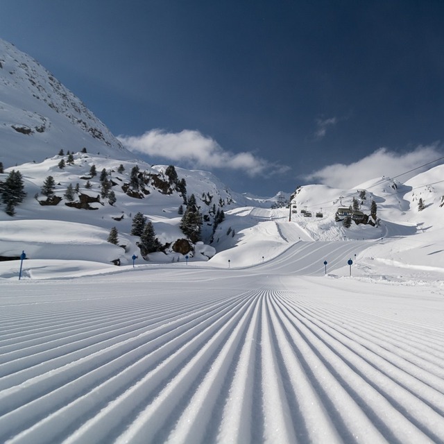
Massive Snowfall in the Alps
A huge snowfall is underway in the Alps, by far the biggest of the 24-25 season.
Please sign in with your Snow-Forecast account details below.


Kaunertal Weather (Next 3 days): The snow forecast for Kaunertal is: Light rain (total 5.0mm), mostly falling on Sun afternoon. Freeze-thaw conditions (max 6°C on Sun afternoon, min -1°C on Sat night). Wind will be generally light.
Kaunertal Weather (Days 4-6): A dusting of snow giving way to moderate rain (total 14.0mm) heaviest on Wed night. Freeze-thaw conditions (max 4°C on Wed afternoon, min -3°C on Thu night). Wind will be generally light.
| Resort | Snow Depth | Temp. (°C) | Wind (km/h) | Weather | ||
|---|---|---|---|---|---|---|
| Top Lift: | 1.1 m | -2 | ||||
| Middle Lift: | -1 | |||||
| Bottom Lift: | 1.0 m | -2 |
Latest snow reports near Kaunertal:
Rain reported from Pitztaler Gletscher at 2848 metres elevation only 4 kms SSE of Pitztal Glacier but it is forecast cold enough for snow at the ski area from Pitztal Glacier
Rain reported from Obergurgl at 1937 metres elevation one km SSE of Obergurgl but it is forecast cold enough for snow at the ski area from Obergurgl

Saturday 19 | Sunday 20 | Monday 21 | Tuesday 22 | Wednesday 23 | Thursday 24 | Friday 25 | |||||||||||||||
AM | PM | night | AM | PM | night | AM | PM | night | AM | PM | night | AM | PM | night | AM | PM | night | AM | PM | night | |
clear | some clouds | some clouds | some clouds | rain shwrs | rain shwrs | some clouds | rain shwrs | light snow | light snow | light rain | light snow | light snow | light rain | mod. rain | light snow | light snow | light snow | light snow | snow shwrs | light snow | |
km/h | |||||||||||||||||||||
Snow map |  |  |  |  |  |  |  | ||||||||||||||
— | — | — | — | — | — | — | — | — | — | — | 2.0 | — | — | — | 1.0 | — | 1.0 | — | 1.0 | 1.0 | |
— | — | — | — | 1.0 | 1.0 | — | 2.0 | 1.0 | — | 3 | — | 1.0 | 4 | 6 | — | — | — | — | — | — | |
max°C | 3 | 4 | 1 | 4 | 6 | 2 | 4 | 5 | 2 | 1 | 3 | 1 | 3 | 4 | 1 | 1 | 1 | 0 | -1 | 1 | -2 |
min°C | 0 | 3 | -1 | 1 | 5 | 0 | 1 | 5 | 0 | 0 | 2 | 0 | 1 | 3 | 0 | 1 | 0 | -3 | -3 | 1 | -4 |
-2 | 0 | -6 | -3 | 3 | -3 | -2 | 3 | 0 | 0 | 2 | 0 | 1 | 3 | 0 | 0 | -2 | -5 | -5 | -1 | -6 | |
53 | 81 | 67 | 58 | 78 | 89 | 82 | 85 | 99 | 95 | 99 | 98 | 88 | 96 | 92 | 96 | 95 | 98 | 85 | 79 | 82 | |
2850 | 2650 | 2700 | 2900 | 2750 | 2450 | 2650 | 2800 | 2450 | 2550 | 2700 | 2500 | 2650 | 2750 | 2600 | 2400 | 2350 | 2000 | 2050 | 2300 | 1700 | |
6:22 | — | — | 6:20 | — | — | 6:18 | — | — | 6:16 | — | — | 6:15 | — | — | 6:13 | — | — | 6:11 | — | — | |
— | — | 8:09 | — | — | 8:10 | — | — | 8:13 | — | — | 8:14 | — | — | 8:15 | — | — | 8:16 | — | — | 8:17 | |
Light rain (total 5.0mm), mostly falling on Sun afternoon. Freeze-thaw conditions (max 6°C on Sun afternoon, min -1°C on Sat night). Wind will be generally light.
A dusting of snow giving way to moderate rain (total 14.0mm) heaviest on Wed night. Freeze-thaw conditions (max 4°C on Wed afternoon, min -3°C on Thu night). Wind will be generally light.
Latest snow reports near Kaunertal:
Rain reported from Pitztaler Gletscher at 2848 metres elevation only 4 kms SSE of Pitztal Glacier but it is forecast cold enough for snow at the ski area from Pitztal Glacier
Rain reported from Obergurgl at 1937 metres elevation one km SSE of Obergurgl but it is forecast cold enough for snow at the ski area from Obergurgl
| Top snow depth: | 110 cm |
|---|---|
| Bottom snow depth: | 95 cm |
| Fresh snowfall depth: | 11 cm |
| Last snowfall: | 18 Apr 2025 |
| Snow Alerts | Create Alert |
0.2 | Bluebird Powder days Fresh snow, mostly sunny, light wind. |
|---|---|
2.0 | Powder days Fresh snow, limited sun, any wind. |
0.4 | Bluebird days Average snow, mostly sunny, light wind. |
The above table gives the weather forecast for Kaunertal at the specific elevation of 2224 m. Our sophisticated weather models allow us to provide snow forecasts for the top, middle and bottom ski stations of Kaunertal. To access the weather forecasts for the other elevations, use the tab navigation above the table. For a wider view of the weather, check out the Weather Map of Austria.
Click here to read further information on freezing levels and how we forecast our temperatures.
Overall 3.9 Based on 7 votes and 2 reviews
The first big advantage of the Kaunertal is the ability to drive with your car up to 2750m, directly to the glacier. The drive from Feichten (last town) to the glacier is about 30km, beautiful landscapes and a huge lake included. The ski resorts offers everything for a beginner and an expert. A great funpark for snowboarder (beginner and experts), a halfpipe and obstacles. There are six surface lifts and two chair lifts (down to 2150m). So you are able to carve down from 3162m to 2150m on one piece, great! The next big thing is, that there are no masses of tourists and the tracks are shaped nearly daily. My favorite resort, wiesi http://www.mysnowboard.de
wiesi from Germany writes:
The first big advantage of the Kaunertal is the ability to drive with your
car up to 2750m, directly to the glacier. The drive from Feichten (last town)
to the glacier is about 30km, beautiful landscapes and a huge lake included.
The ski resorts offers everything for a beginner and an expert. A great funpark
for snowboarder (beginner and experts), a halfpipe and obstacles. There are six surface lifts and two chair lifts (down to 2150m). So you are able to carve down
from 3162m to 2150m on one piece, great!
The next big thing is, that there are no masses of tourists and the tracks are
shaped nearly daily.
My favorite resort,
wiesi
http://www.mysnowboard.de
The Kaunertal skiing weather widget is available to embed on external websites free of charge. It provides a daily summary of our Kaunertal snow forecast and current weather conditions. Simply go to the feed configuration page and follow the 3 simple steps to grab the custom html code snippet and paste it into your own site. You can choose the snow forecast elevation (summit, mid-mountain or bottom lift) and metric/imperial units for the snow forecast feed to suit your own website…. Click here to get the code.
View detailed snow forecast for Kaunertal at:
snow-forecast.com


 Nearest