Jay Peak snow
Ski USA - Vermont

Jay Peak Snow Forecast

Weather Forecast for Jay Peak at 1209 m
Issued: 12 am  23 Feb 2025 (local time)

New snow in Jay Peak

6.2cm2.4in
Sun 23rd (AM)
The snow forecast for Jay Peak is: A light covering of new snow, mostly falling on Sat night. Temperatures will be below freezing (max -3°C on Mon morning, min -12°C on Sun afternoon). Mainly severe gales.

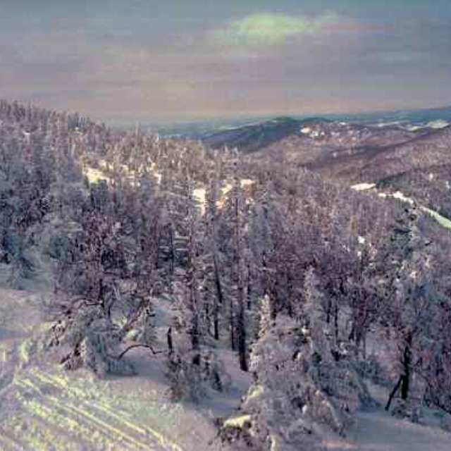
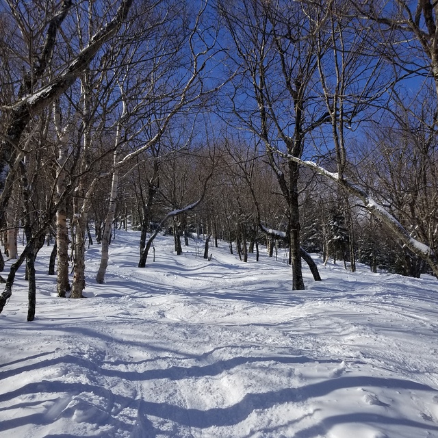
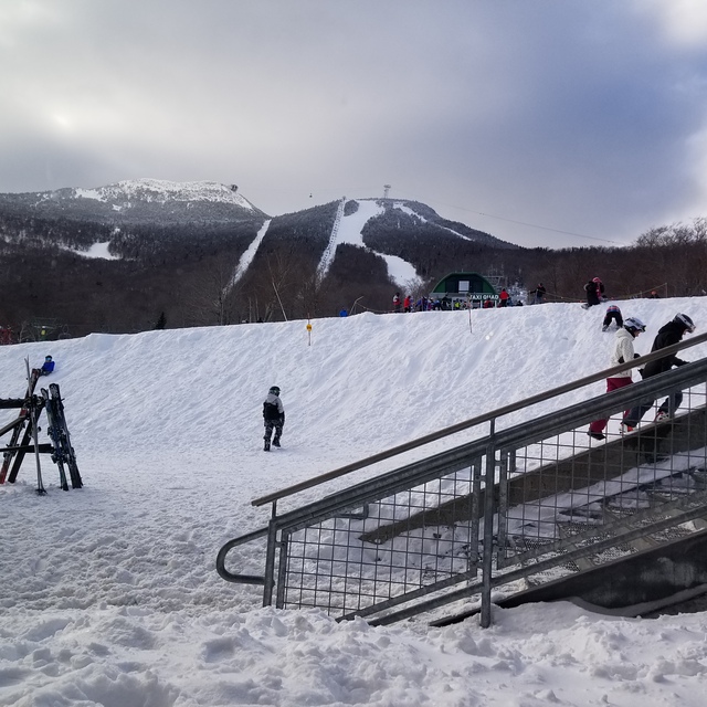
Jay Peak Weather (Next 3 days): The snow forecast for Jay Peak is: A light covering of new snow, mostly falling on Sat night. Temperatures will be below freezing (max -3°C on Mon morning, min -12°C on Sun afternoon). Mainly severe gales.

Jay Peak Weather (Days 4-6): A heavy fall of snow, heaviest during Fri morning. Temperatures will be below freezing (max 0°C on Wed night, min -20°C on Fri afternoon). Winds increasing (light winds from the W on Tue night, gales from the SW by Wed night).


Jay Peak Live Weather

ResortSnow DepthTemp. (°C)Wind (km/h)Weather
Top Lift: 2.2m
-11
50
light snow
Middle Lift: 
-10
35
light snow
Bottom Lift: 0.9m
-9
20
light snow
Powered by Snow-Forecast.comSnow-Forecast.com
6 Day Forecast
Issued: 12 am 23 Feb 2025 / Updates in ::
Change Forecast Height
Choose Forecast
Last 6 daysScroll left for last 6 daysNow
Sunday
23
Monday
24
Tuesday
25
Wednesday
26
Thursday
27
Friday
28
night
AM
PM
night
AM
PM
night
AM
PM
night
AM
PM
night
AM
PM
night
AM
PM
night
light snow
light snow
light snow
cloud
part cloud
cloud
light snow
light snow
light snow
light snow
light snow
light snow
mod snow
light snow
light snow
mod snow
mod snow
light snow
snow showers
light snow
light snow
light snow
cloudy
some clouds
cloudy
light snow
light snow
light snow
light snow
light snow
light snow
mod. snow
light snow
light snow
mod. snow
mod. snow
light snow
snow shwrs
 km/h
50
WSW
40
W
40
W
30
WNW
25
SW
65
SSW
60
WSW
35
W
25
W
20
W
20
W
25
WSW
40
SW
60
SW
35
WNW
25
W
40
W
50
NW
20
WNW
Snow map
 cm 
3
2.0
1.0
1.0
2.0
3
1.0
7
3
2.0
5
6
2.0
 mm 
max°C
-11
-10
-11
-9
-3
-3
-3
-4
-4
-5
-6
-5
0
-1
-6
-8
-9
-18
-9
min°C
-11
-11
-12
-12
-6
-3
-4
-4
-5
-7
-7
-6
-4
-4
-7
-8
-17
-20
-19
chill°C 
-23
-22
-23
-23
-14
-13
-15
-12
-12
-15
-14
-14
-12
-13
-16
-17
-31
-34
-31
Humid% 
95
97
98
98
53
74
95
99
99
99
97
92
98
100
99
96
96
99
23
Freezing level (m
0
0
0
0
0
550
650
550
450
250
300
300
100
1000
200
0
0
0
0
topliftbotliftSea lvl1000m2000m3000m4000m5000m
-11-11-12-11-5-3-4-4-5-6-7-6-2-3-7-8-13-19-14-9-5-8-12-3-1-1-1-1-3-2-4-21-3-5-8-14-18
Sunrise
6:37
6:35
6:33
6:31
6:31
6:28
Sunset
5:28
5:29
5:30
5:31
5:34
5:35

Snow Radar

Submit a report Eyeball Reporter

Latest snow reports near Jay Peak:

  • 21 km away from Jay Peak

    21 hours ago
    Eyeball reporter

    Conditions are superb with all the snow received in the last 48 hours. A total of 12 to 14 cm, including 3-4 cm of fresh powder again last night There’s something for every style of skier and snowboarder and the day will be almost perfect, possibly starting with a few flakes followed by alternating sun and clouds. So you’ll find packed powder sometimes mixed with granular snow and a thin layer of fresh snow in places In the glades and natural snow runs, you’ll still enjoy deep, skied powder in places, and bumpy surfaces that make for a challenging and fun ride All this on firm b... from Mont Sutton

Jay Peak Snow Conditions

Top snow depth:216cm
Bottom snow depth:91cm
Fresh snowfall depth:5cm
Last snowfall:21 Feb 2025
Snow AlertsCreate Alert
Other resorts in USA - Vermont are reporting: powder (0) / good piste (7)


Snow History

Week 4 of February has on average:
0.6
Bluebird Powder days
Fresh snow, mostly sunny, light wind.
2.7
Powder days
Fresh snow, limited sun, any wind.
1.5
Bluebird days
Average snow, mostly sunny, light wind.