
North America Weekly Snow Roundup #312
Weekly Snow News for North America, updated 30 April 2026: Palisades gains a fortnight of extra skiing after 80" (2m) of April snow, while Arapahoe Basin shocks with an unusually early closure.

Next 3 days weather summary:Heavy rain (total 26.0mm), heaviest during Sun night. Very mild (max 10°C on Sat afternoon, min 4°C on Sun night). Wind will be generally light. | Days 4-6 weather summary:Heavy rain (total 25.0mm), mainly falling Tue night. Becoming colder with a light covering of snow, mostly falling on Tue night. Freeze-thaw conditions (max 7°C on Mon morning, min 0°C on Wed night). Wind will be generally light. | |||||||||||||||||
Friday 1 | Saturday 2 | Sunday 3 | Monday 4 | Tuesday 5 | Wednesday 6 | |||||||||||||
AM | PM | night | AM | PM | night | AM | PM | night | AM | PM | night | AM | PM | night | AM | PM | night | |
clear | some clouds | some clouds | some clouds | risk thun- der | mod. rain | cloudy | mod. rain | mod. rain | cloudy | light rain | light rain | cloudy | light rain | light snow | light snow | light snow | snow shwrs | |
km/h | ||||||||||||||||||
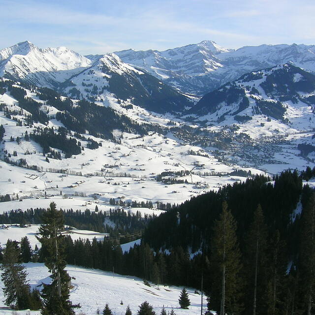
Snow map |  |  |  |  |  |  | ||||||||||||
— | — | — | — | — | — | — | — | — | — | — | — | — | — | 5 | 1 | 1 | — | |
— | — | — | — | 3 | 7 | — | 6 | 10 | — | 1 | 5 | — | 5 | 14 | — | — | — | |
max °C | 7 | 9 | 8 | 9 | 10 | 8 | 8 | 8 | 5 | 7 | 7 | 4 | 5 | 6 | 3 | 2 | 1 | 1 |
min °C | 5 | 9 | 5 | 6 | 10 | 5 | 5 | 6 | 4 | 4 | 6 | 2 | 3 | 4 | 1 | 1 | 1 | 0 |
5 | 9 | 5 | 6 | 10 | 3 | 3 | 6 | 3 | 2 | 5 | 0 | 1 | 4 | -2 | -2 | -3 | -2 | |
48 | 67 | 79 | 58 | 68 | 81 | 60 | 94 | 94 | 65 | 82 | 87 | 78 | 94 | 98 | 86 | 87 | 77 | |
2950 | 3050 | 3000 | 3100 | 3200 | 3100 | 3050 | 2950 | 2750 | 2900 | 2750 | 2550 | 2700 | 2700 | 2200 | 2250 | 2150 | 2000 | |
6:16 | — | — | 6:16 | — | — | 6:13 | — | — | 6:13 | — | — | 6:11 | — | — | 6:09 | — | — | |
— | — | 8:38 | — | — | 8:39 | — | — | 8:40 | — | — | 8:43 | — | — | 8:44 | — | — | 8:45 | |
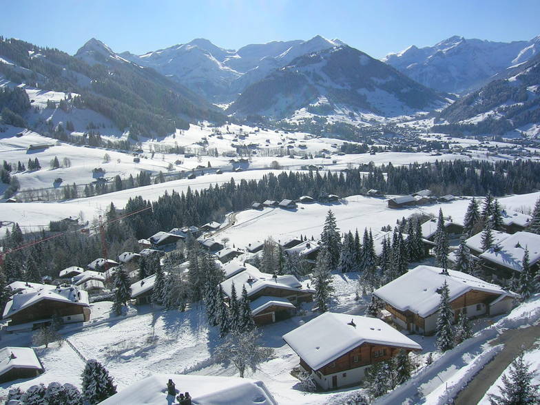
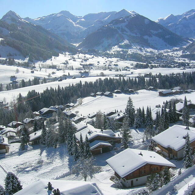
Latest snow reports near Gstaad:
| Top snow depth: | 0 cm |
|---|---|
| Bottom snow depth: | 0 cm |
| Fresh snowfall depth: | — |
| Last snowfall: | 13 Apr 2026 |
| Snow Alerts | Create Alert |
0.1 | Bluebird Powder days Fresh snow, mostly sunny, light wind. |
|---|---|
0.8 | Powder days Fresh snow, limited sun, any wind. |
0.0 | Bluebird days Average snow, mostly sunny, light wind. |
The above table gives the weather forecast for Gstaad at the specific elevation of 2000 m. Our sophisticated weather models allow us to provide snow forecasts for the top, middle and bottom ski stations of Gstaad. To access the weather forecasts for the other elevations, use the tab navigation above the table. For a wider view of the weather, check out the Weather Map of Switzerland.
Click here to read further information on freezing levels and how we forecast our temperatures.
Overall 4.1 Based on 24 votes and 4 reviews
I have skied in Zermatt, Verbier, Chourchevel, Meribel and Gstaad is in my opinion the nicest. If you want to hardcore party cheaply this isn't the resort for you. If you want extensive beautiful varied skiing Gstaad is better. If you like hooning it from the top of the mountain down packed paths shouting to your mates all the way as you dodge inexperienced skiers - Gstaad is not for you. Zermatt does have very nice views of the Matterhorn.
Edward from United Kingdom writes:
I have skied in Zermatt, Verbier, Chourchevel, Meribel and Gstaad is in my opinion the nicest.
If you want to hardcore party cheaply this isn't the resort for you. If you want extensive beautiful varied skiing Gstaad is better. If you like hooning it from the top of the mountain down packed paths shouting to your mates all the way as you dodge inexperienced skiers - Gstaad is not for you.
Zermatt does have very nice views of the Matterhorn.


 Nearest