

Massive Snowfall in the Alps
A huge snowfall is underway in the Alps, by far the biggest of the 24-25 season.
Please sign in with your Snow-Forecast account details below.

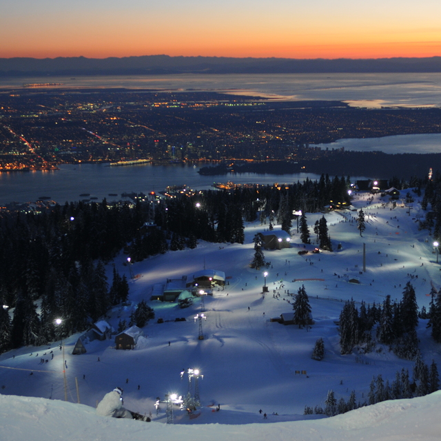
Grouse Mountain Weather (Next 3 days): The snow forecast for Grouse Mountain is: A dusting of snow on Sun morning. Freezing level rising with drizzle on Sun afternoon. Freeze-thaw conditions (max 10°C on Fri afternoon, min 0°C on Sun night). Wind will be generally light.
Grouse Mountain Weather (Days 4-6): Some drizzle, heaviest during Mon afternoon. Freeze-thaw conditions (max 9°C on Wed afternoon, min 0°C on Mon night). Wind will be generally light.
| Resort | Snow Depth | Temp. (°C) | Wind (km/h) | Weather | ||
|---|---|---|---|---|---|---|
| Top Lift: | 3.2 m | 7 | ||||
| Bottom Lift: | 2.2 m | 6 |
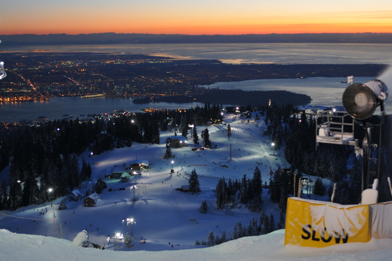
Latest snow reports near Grouse Mountain:
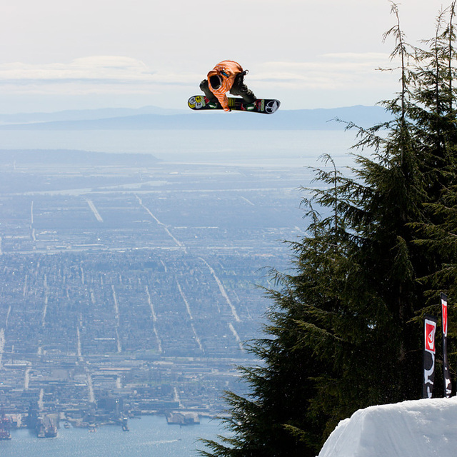
Great conditions for this time of year. Clear blue skies, most lifts are open. from Grouse Mountain
Spring conditions on piste. Clear blue skies, most lifts are open. from Grouse Mountain

Friday 18 | Saturday 19 | Sunday 20 | Monday 21 | Tuesday 22 | Wednesday 23 | Thursday 24 | |||||||||||||||
AM | PM | night | AM | PM | night | AM | PM | night | AM | PM | night | AM | PM | night | AM | PM | night | AM | PM | night | |
clear | some clouds | cloudy | clear | cloudy | snow shwrs | light snow | snow shwrs | clear | snow shwrs | snow shwrs | some clouds | some clouds | some clouds | clear | clear | clear | clear | some clouds | some clouds | some clouds | |
km/h | |||||||||||||||||||||
Snow map | 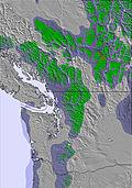 | 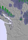 | 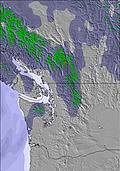 | 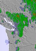 | 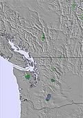 | 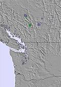 | 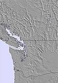 | ||||||||||||||
— | — | — | — | — | — | 1.0 | — | — | — | — | — | — | — | — | — | — | — | — | — | — | |
— | — | — | — | — | — | — | 1.0 | — | — | 1.0 | — | — | — | — | — | — | — | — | — | — | |
max°C | 9 | 10 | 8 | 4 | 4 | 3 | 2 | 3 | 1 | 2 | 3 | 2 | 4 | 6 | 4 | 6 | 9 | 7 | 12 | 13 | 11 |
min°C | 7 | 10 | 5 | 4 | 3 | 1 | 1 | 2 | 0 | 1 | 2 | 0 | 2 | 5 | 2 | 4 | 8 | 6 | 9 | 13 | 9 |
7 | 9 | 2 | 0 | 0 | 1 | -1 | -1 | 0 | 0 | 0 | 0 | 2 | 5 | 2 | 4 | 8 | 5 | 8 | 13 | 9 | |
48 | 52 | 78 | 79 | 88 | 91 | 95 | 77 | 83 | 86 | 75 | 79 | 74 | 69 | 72 | 66 | 49 | 50 | 42 | 40 | 44 | |
3500 | 3050 | 2150 | 1400 | 1400 | 1150 | 1100 | 1200 | 1050 | 1000 | 1150 | 1050 | 1250 | 1550 | 1650 | 1750 | 2150 | 2300 | 2350 | 2500 | 2500 | |
6:15 | — | — | 6:13 | — | — | 6:11 | — | — | 6:09 | — | — | 6:07 | — | — | 6:05 | — | — | 6:03 | — | — | |
— | — | 8:08 | — | — | 8:09 | — | — | 8:12 | — | — | 8:13 | — | — | 8:15 | — | — | 8:15 | — | — | 8:17 | |
A dusting of snow on Sun morning. Freezing level rising with drizzle on Sun afternoon. Freeze-thaw conditions (max 10°C on Fri afternoon, min 0°C on Sun night). Wind will be generally light.
Some drizzle, heaviest during Mon afternoon. Freeze-thaw conditions (max 9°C on Wed afternoon, min 0°C on Mon night). Wind will be generally light.
Latest snow reports near Grouse Mountain:
Great conditions for this time of year. Clear blue skies, most lifts are open. from Grouse Mountain
Spring conditions on piste. Clear blue skies, most lifts are open. from Grouse Mountain
| Top snow depth: | 315 cm |
|---|---|
| Bottom snow depth: | 218 cm |
| Fresh snowfall depth: | — |
| Last snowfall: | 8 Apr 2025 |
| Snow Alerts | Create Alert |
0.0 | Bluebird Powder days Fresh snow, mostly sunny, light wind. |
|---|---|
0.5 | Powder days Fresh snow, limited sun, any wind. |
0.0 | Bluebird days Average snow, mostly sunny, light wind. |

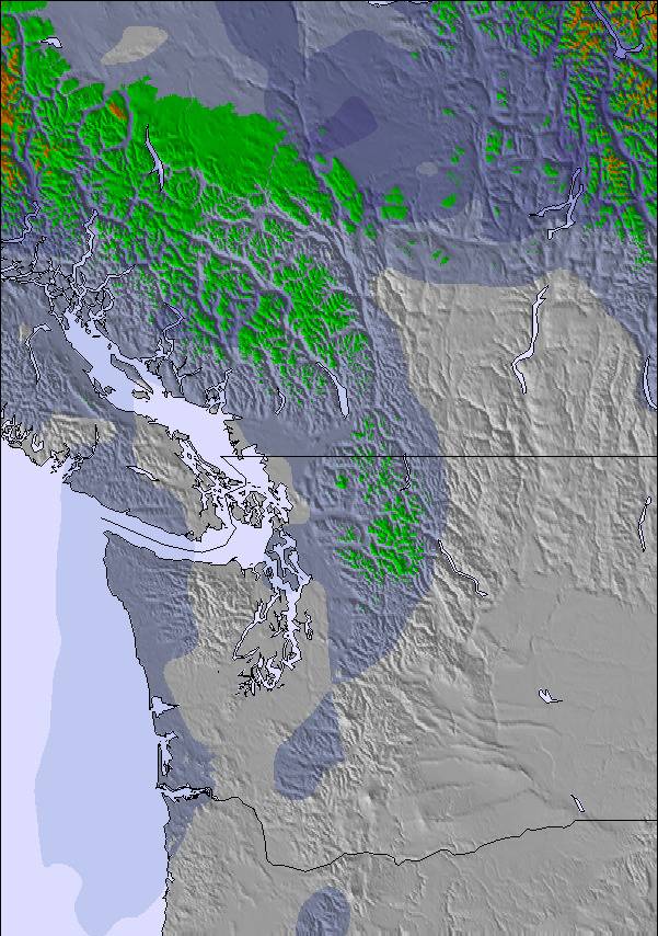
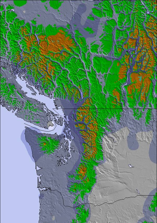
The above table gives the weather forecast for Grouse Mountain at the specific elevation of 881 m. Our sophisticated weather models allow us to provide snow forecasts for the top, middle and bottom ski stations of Grouse Mountain. To access the weather forecasts for the other elevations, use the tab navigation above the table. For a wider view of the weather, check out the Weather Map of Canada.
Click here to read further information on freezing levels and how we forecast our temperatures.
Overall 3.6 Based on 54 votes and 46 reviews
Covid conditions require reservations resulting in reasonable gondola upload lines & tolerable chair lines once on the mountain. Booking requires some forethought & predictive snow forecasting. Best days are mid-week storm days; the tourists, hikers, snowshoers, & fair-weather skiers stay home. It's all below treeline, so contrast is never an issue & there's no such thing as bad weather, just bad clothing. Great tree terrain off the Olympic Chair - short, but sweet, rivalling anything skiable on the North Shore.
Howard Kennedy from Canada writes:
Covid conditions require reservations resulting in reasonable gondola upload lines & tolerable chair lines once on the mountain. Booking requires some forethought & predictive snow forecasting. Best days are mid-week storm days; the tourists, hikers, snowshoers, & fair-weather skiers stay home. It's all below treeline, so contrast is never an issue & there's no such thing as bad weather, just bad clothing. Great tree terrain off the Olympic Chair - short, but sweet, rivalling anything skiable on the North Shore.
The Grouse Mountain skiing weather widget is available to embed on external websites free of charge. It provides a daily summary of our Grouse Mountain snow forecast and current weather conditions. Simply go to the feed configuration page and follow the 3 simple steps to grab the custom html code snippet and paste it into your own site. You can choose the snow forecast elevation (summit, mid-mountain or bottom lift) and metric/imperial units for the snow forecast feed to suit your own website…. Click here to get the code.
View detailed snow forecast for Grouse Mountain at:
snow-forecast.com

 Nearest