The snow forecast for Granite Peak Ski Area is: Moderate rain (total 11.0mm), heaviest on Thu night. Very mild (max 14°C on Thu afternoon, min 1°C on Fri night). Wind will be generally light.
Granite Peak Ski Area Weather (Next 3 days): The snow forecast for Granite Peak Ski Area is: Moderate rain (total 11.0mm), heaviest on Thu night. Very mild (max 14°C on Thu afternoon, min 1°C on Fri night). Wind will be generally light.
Granite Peak Ski Area Weather (Days 4-6): Heavy rain (total 46.0mm), heaviest during Mon night. Very mild (max 19°C on Mon night, min 1°C on Tue night). Winds decreasing (near gales from the SW on Mon night, calm by Tue night).
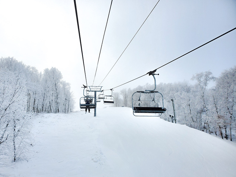
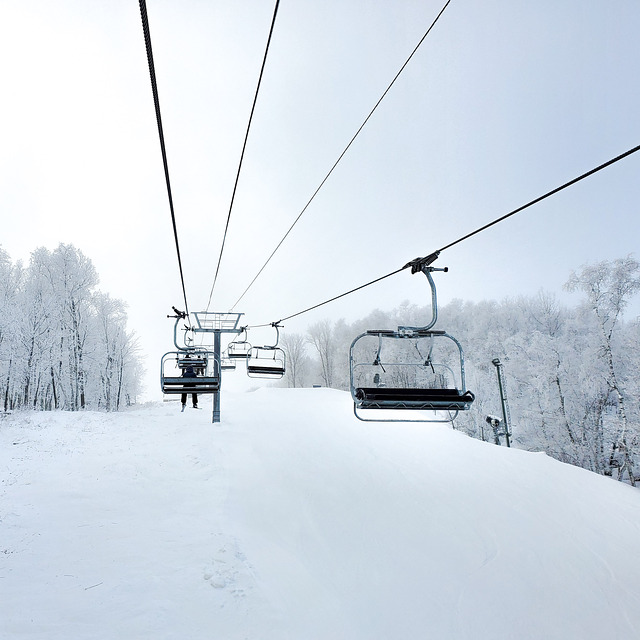
Granite Peak Ski Area Live Weather
Resort
Snow Depth
Temp. (°C)
Wind (km/h)
Weather
Top Lift:
9
Bottom Lift:
10
Powered by Snow-Forecast.com
Granite Peak Ski Area Weather
(Next 3 days):
The snow forecast for Granite Peak Ski Area is: Moderate rain (total 11.0mm), heaviest on Thu night. Very mild (max 14°C on Thu afternoon, min 1°C on Fri night). Wind will be generally light.
Granite Peak Ski Area Weather (Days 4-6):
Heavy rain (total 46.0mm), heaviest during Mon night. Very mild (max 19°C on Mon night, min 1°C on Tue night). Winds decreasing (near gales from the SW on Mon night, calm by Tue night).
Moderate rain (total 11.0mm), heaviest on Thu night. Very mild (max 14°C on Thu afternoon, min 1°C on Fri night). Wind will be generally light.
Next 4-6 days weather summary:
Heavy rain (total 46.0mm), heaviest during Mon night. Very mild (max 19°C on Mon night, min 1°C on Tue night). Winds decreasing (near gales from the SW on Mon night, calm by Tue night).
The above table gives the weather forecast for Granite Peak Ski Area at the specific elevation of 486 m. Our sophisticated weather models allow us to provide snow forecasts for the top, middle and bottom ski stations of Granite Peak Ski Area. To access the weather forecasts for the other elevations, use the tab navigation above the table. For a wider view of the weather, check out the Weather Map of United States.
Click here to read further information on freezing levels and how we forecast our temperatures.
Up until this year I was a huge proponent of what was happening at Granite Peak. Right now the best thing that could happen from my opinion is for them to go bankrupt, a new management group that knows something about ski area take over and then it will be a ski area. If you look at the surface, it seems like a nice midwestern ski area. If you look closer, you will see it is terribly mis-managed with a law suit waiting to happen. One trip to a real ski area will tell you these people are real amateurs.
Examples: Last year the on the hill crew came and cut small trees along the edge of the runs. This year we have punge sticks waiting to impale an unsuspecting snowboarder or skier as the snow depth is not as deep as last year. An easy correction would be to cut them at ground level in the non snow months.
Yesterday I saw 14 ski patrol persons getting on the same lift all at once. I said to my ski partner ' I sure hope this chair doesn't break as the evac crew is on the chair and none of them are prepared to self evac.' The chair has a history of failure. Today we sat on the stopped chair for an hour, yes 60 minutes before the decision to lock out was made. We were within ear shot of the motor house and could hear the happenings, 40 minutes to try to fix the brake solenoid, 20 minutes to try to start the auxillary motor. Standard call is ten minutes to get it up and going and then patrol takes over, locks down the chair and begins the evac. Yes there can be mechanical problems, but someone needs to make a decision and it won't happen here. Do you think starting the auxillary motor every day would be out of order? The ski area that I used to work at had a practice of running all auxillaries every day.
My last rant is on the lift ops. Short of a few, they have not received the proper training to know what their job is. The carpet is quite often dry so you can't slide into the lift box, the entry areas into the lift boxes are anything but flat. It takes a seasoned skier to get in the lift area without creating a problem. And they can't figure out why they have to shut the chair off so frequently. Any real ski area knows to make the loading area as smooth as your living room floor and it will aleviate problems. Not here yet.
I partly feel for them because they are so close to being a nice area, as the owner has spent a fortune making it nice and it is a nice place to ski if you don't see how poorly managed the place is. An on the hill manager that knows something about ski areas could turn this nightmare into a real cool place to ski and ride.
Free Snow-Forecast.com weather widget for your website
The Granite Peak Ski Area skiing weather widget is available to embed on external websites free of charge. It provides a daily summary of our Granite Peak Ski Area snow forecast and current weather conditions. Simply go to the feed configuration page and follow the 3 simple steps to grab the custom html code snippet and paste it into your own site. You can choose the snow forecast elevation (summit, mid-mountain or bottom lift) and metric/imperial units for the snow forecast feed to suit your own website…. Click here to get the code.


 Nearest