

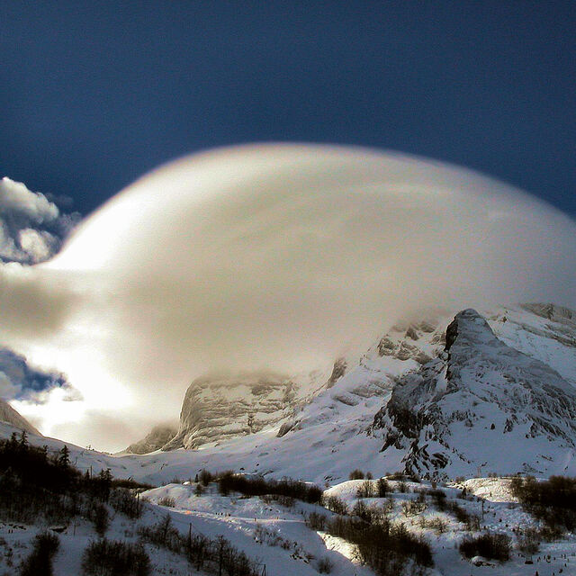
French Ski Areas Announce 2025 Summer Ski Plans
Three French ski areas have announced their opening plans in May, June and July after the winter season ends on May 4th.
Please sign in with your Snow-Forecast account details below.

Gourette Weather (Next 3 days): The snow forecast for Gourette is: Light rain (total 4.0mm) on Tue morning. Becoming colder with heavy fall of snow, heaviest during Tue morning. Freeze-thaw conditions (max 6°C on Thu afternoon, min -2°C on Wed night). Wind will be generally light.
Gourette Weather (Days 4-6): A light covering of new snow, mostly falling on Sat morning will be washed away by heavy rain (total 35.0mm) on Sun night. Freeze-thaw conditions (max 12°C on Fri afternoon, min 0°C on Sat morning). Wind will be generally light.
| Resort | Snow Depth | Temp. (°C) | Wind (km/h) | Weather | ||
|---|---|---|---|---|---|---|
| Top Lift: | 0.0 m | -2 | ||||
| Middle Lift: | 2 | |||||
| Bottom Lift: | 0.0 m | 5 |
Latest snow reports near Gourette:

Tuesday 15 | Wednesday 16 | Thursday 17 | Friday 18 | Saturday 19 | Sunday 20 | Monday 21 | |||||||||||||||
AM | PM | night | AM | PM | night | AM | PM | night | AM | PM | night | AM | PM | night | AM | PM | night | AM | PM | night | |
mod. snow | mod. snow | heavy snow | light snow | light snow | some clouds | cloudy | some clouds | clear | some clouds | rain shwrs | snow shwrs | light snow | light snow | light snow | light rain | light rain | heavy rain | mod. rain | mod. rain | light rain | |
km/h | |||||||||||||||||||||
Snow map |  |  |  |  |  |  |  | ||||||||||||||
6 | 7 | 11 | 5 | 1.0 | — | — | — | — | — | — | 2.0 | 3 | — | — | — | — | — | — | — | — | |
4 | — | — | — | — | — | — | — | — | — | 1.0 | 14 | — | 1.0 | 1.0 | 1.0 | 1.0 | 16 | 9 | 9 | 4 | |
max°C | 3 | 1 | 0 | 0 | 2 | 1 | 2 | 6 | 4 | 9 | 12 | 7 | 2 | 3 | 2 | 5 | 6 | 6 | 6 | 7 | 3 |
min°C | 1 | 1 | -1 | -1 | 2 | -2 | -2 | 5 | 3 | 5 | 11 | 1 | 0 | 2 | 1 | 2 | 5 | 4 | 5 | 2 | 2 |
1 | 0 | -4 | -4 | 0 | -2 | -2 | 5 | 3 | 4 | 9 | -3 | -3 | 0 | 1 | 0 | 2 | 0 | 3 | 0 | 2 | |
99 | 100 | 99 | 97 | 93 | 83 | 68 | 79 | 71 | 75 | 73 | 99 | 83 | 86 | 77 | 69 | 91 | 87 | 91 | 97 | 93 | |
1550 | 1500 | 1350 | 1350 | 1600 | 1300 | 1900 | 2400 | 2850 | 3000 | 2750 | 1950 | 1500 | 1750 | 1750 | 2000 | 2300 | 2500 | 2400 | 1850 | 1800 | |
7:20 | — | — | 7:18 | — | — | 7:16 | — | — | 7:15 | — | — | 7:13 | — | — | 7:11 | — | — | 7:09 | — | — | |
— | — | 8:43 | — | — | 8:44 | — | — | 8:45 | — | — | 8:45 | — | — | 8:46 | — | — | 8:47 | — | — | 8:50 | |
Light rain (total 4.0mm) on Tue morning. Becoming colder with heavy fall of snow, heaviest during Tue morning. Freeze-thaw conditions (max 6°C on Thu afternoon, min -2°C on Wed night). Wind will be generally light.
A light covering of new snow, mostly falling on Sat morning will be washed away by heavy rain (total 35.0mm) on Sun night. Freeze-thaw conditions (max 12°C on Fri afternoon, min 0°C on Sat morning). Wind will be generally light.
Latest snow reports near Gourette:
| Top snow depth: | 0 cm |
|---|---|
| Bottom snow depth: | 0 cm |
| Fresh snowfall depth: | — |
| Last snowfall: | 29 Mar 2025 |
| Snow Alerts | Create Alert |
0.0 | Bluebird Powder days Fresh snow, mostly sunny, light wind. |
|---|---|
0.2 | Powder days Fresh snow, limited sun, any wind. |
0.0 | Bluebird days Average snow, mostly sunny, light wind. |
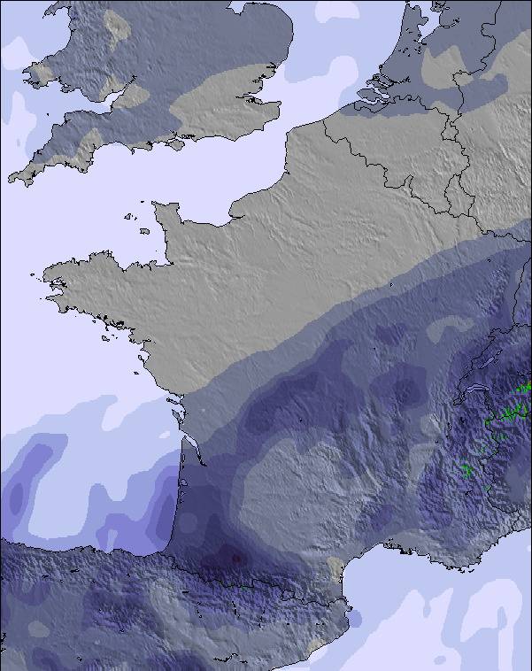
The above table gives the weather forecast for Gourette at the specific elevation of 1350 m. Our sophisticated weather models allow us to provide snow forecasts for the top, middle and bottom ski stations of Gourette. To access the weather forecasts for the other elevations, use the tab navigation above the table. For a wider view of the weather, check out the Weather Map of France.
Click here to read further information on freezing levels and how we forecast our temperatures.
Overall 3.8 Based on 10 votes and 6 reviews
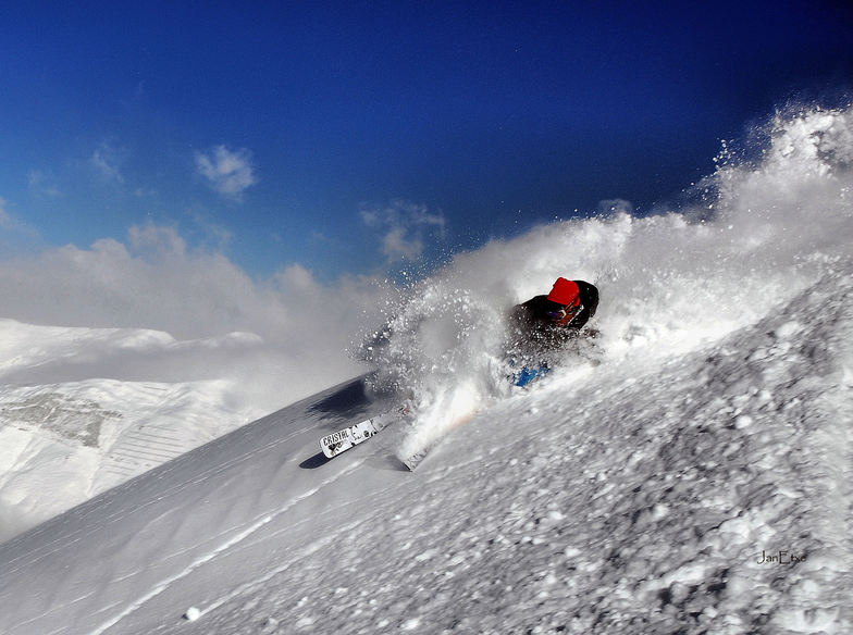
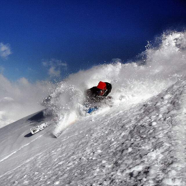
Avec plus de 1000 m de dénivelé, du bon ski à faire, de la pente et du super hors piste en restant à vue des pistes. Super semaine!
Pépé from France writes:
Avec plus de 1000 m de dénivelé, du bon ski à faire, de la pente et du super hors piste en restant à vue des pistes. Super semaine!
The Gourette skiing weather widget is available to embed on external websites free of charge. It provides a daily summary of our Gourette snow forecast and current weather conditions. Simply go to the feed configuration page and follow the 3 simple steps to grab the custom html code snippet and paste it into your own site. You can choose the snow forecast elevation (summit, mid-mountain or bottom lift) and metric/imperial units for the snow forecast feed to suit your own website…. Click here to get the code.
View detailed snow forecast for Gourette at:
snow-forecast.com


 Nearest