Furano snow
Ski Japan - Hokkaido

Furano Snow Forecast

Weather Forecast for Furano at 1209 m
Issued: 8 am  02 Apr 2025 (local time)

New snow in Furano

3.1cm1.2in
Thu 3rd (PM)
The snow forecast for Furano is: A light covering of new snow, mostly falling on Thu night. Temperatures will be below freezing (max -2°C on Wed morning, min -6°C on Thu night). Winds decreasing (fresh winds from the ESE on Wed afternoon, calm by Thu afternoon).

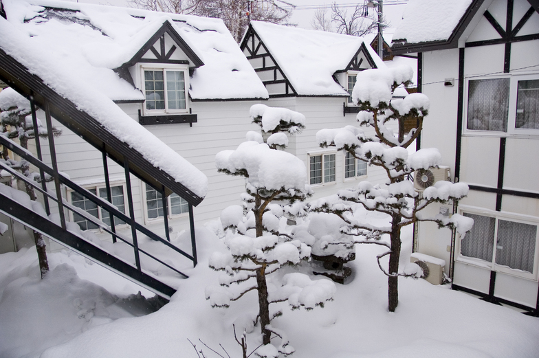
Furano Weather (Next 3 days): The snow forecast for Furano is: A light covering of new snow, mostly falling on Thu night. Temperatures will be below freezing (max -2°C on Wed morning, min -6°C on Thu night). Winds decreasing (fresh winds from the ESE on Wed afternoon, calm by Thu afternoon).

Furano Weather (Days 4-6): A dusting of new snow. Freeze-thaw conditions (max 2°C on Mon morning, min -3°C on Sat morning). Winds decreasing (fresh winds from the SSW on Sun night, calm by Mon night).


Furano Live Weather

ResortSnow DepthTemp. (°C)Wind (km/h)Weather
Top Lift: 1.5m
-2
15
part cloud
Middle Lift: 
0
15
part cloud
Bottom Lift: 0.5m
1
10
part cloud
Powered by Snow-Forecast.comSnow-Forecast.com
6 Day Forecast
Issued: 8 am 02 Apr 2025 / Updates in ::
Change Forecast Height
Choose Forecast
Last 6 daysScroll left for last 6 daysNow
Wednesday
2
Thursday
3
Friday
4
Saturday
5
Sunday
6
Monday
7
Tuesday
8
AM
PM
night
AM
PM
night
AM
PM
night
AM
PM
night
AM
PM
night
AM
PM
night
AM
PM
night
cloud
cloud
light snow
light snow
light snow
mod snow
light snow
cloud
part cloud
clear
clear
part cloud
cloud
light snow
light snow
cloud
cloud
cloud
part cloud
part cloud
clear
cloudy
cloudy
light snow
light snow
light snow
mod. snow
light snow
cloudy
some clouds
clear
clear
some clouds
cloudy
light snow
light snow
cloudy
cloudy
cloudy
some clouds
some clouds
clear
 km/h
15
ESE
30
ESE
25
E
15
ESE
5
SSE
10
WNW
20
NE
30
N
30
N
15
NW
15
WNW
10
SW
20
SSW
25
S
30
SSW
20
SSW
10
SSW
10
N
20
N
20
NNW
30
NW
Snow map
 cm 
1.0
5
3
 mm 
max°C
-2
-2
-3
-3
-3
-4
-5
-5
-4
-3
-2
-1
1
1
1
2
2
0
-1
-1
0
min°C
-2
-3
-4
-3
-3
-6
-6
-6
-6
-3
-2
-3
0
0
0
1
1
-2
-1
-1
-1
chill°C 
-7
-11
-11
-8
-6
-11
-13
-14
-15
-8
-7
-8
-5
-6
-6
-4
0
-8
-7
-6
-7
Humid% 
50
51
67
90
98
97
88
83
58
42
65
75
51
84
98
74
79
97
68
89
86
Freezing level (m
700
800
350
600
750
350
300
600
0
800
950
350
1150
1350
1300
1300
1450
1100
1100
1150
1000
topliftbotliftSea lvl1000m2000m3000m4000m5000m
-2-3-4-3-3-5-6-6-5-3-2-211122-1-1-1-122-132032-36408741094783
Sunrise
5:11
5:09
5:07
5:05
5:05
5:03
5:01
Sunset
5:57
5:58
5:59
6:00
6:01
6:02
6:04

Snow Radar

Submit a report Eyeball Reporter

Latest snow reports near Furano:

  • 50 km away from Furano

    38 hours ago
    Is it snowing?

    Heavy snow is falling in Asahidake. from Asahidake

  • 50 km away from Furano

    38 hours ago
    Is it snowing?

    Snowing heavily in Asahidake. from Asahidake

  • 50 km away from Furano

    38 hours ago
    Is it snowing?

    Snow falling at Asahidake. from Asahidake

  • 50 km away from Furano

    38 hours ago
    Is it snowing?

    There is heavy snow falling in Asahidake. from Asahidake

  • 50 km away from Furano

    38 hours ago
    Is it snowing?

    Snowing at a moderate rate in Asahidake. from Asahidake

Furano Snow Conditions

Top snow depth:150cm
Bottom snow depth:50cm
Fresh snowfall depth:
Last snowfall:31 Mar 2025
Snow AlertsCreate Alert
Other resorts in Japan - Hokkaido are reporting: powder (1) / good piste (1)

Snow-Forecast Partner Offers

Snow History

Week 1 of April has on average:
0.9
Bluebird Powder days
Fresh snow, mostly sunny, light wind.
1.3
Powder days
Fresh snow, limited sun, any wind.
1.5
Bluebird days
Average snow, mostly sunny, light wind.