

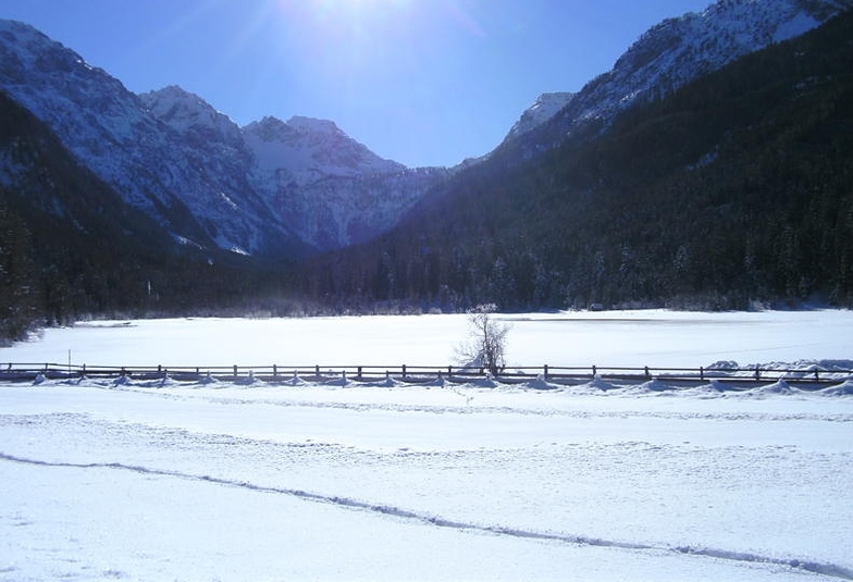
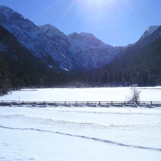
Massive Snowfall in the Alps
A huge snowfall is underway in the Alps, by far the biggest of the 24-25 season.
Please sign in with your Snow-Forecast account details below.

Flachauwinkl-Kleinarl Weather (Next 3 days): The snow forecast for Flachauwinkl-Kleinarl is: Light rain (total 6.0mm), mostly falling on Mon night. Very mild (max 10°C on Mon afternoon, min 1°C on Sat morning). Wind will be generally light.
Flachauwinkl-Kleinarl Weather (Days 4-6): Heavy rain (total 22.0mm), mainly falling Wed night. Becoming colder with a light covering of snow, mostly falling on Thu afternoon. Freeze-thaw conditions (max 6°C on Wed afternoon, min -2°C on Thu night). Wind will be generally light.
| Resort | Snow Depth | Temp. (°C) | Wind (km/h) | Weather | ||
|---|---|---|---|---|---|---|
| Top Lift: | 0.0 m | 0 | ||||
| Middle Lift: | 1 | |||||
| Bottom Lift: | 0.0 m | 3 |
Latest snow reports near Flachauwinkl-Kleinarl:
Rain reported from Katschberg at 1637 metres elevation one km NNE of Katschberg-Aineck but it is forecast cold enough for snow at higher elevations in the ski area from Katschberg-Aineck
Rain reported from Schmittenhoehe (automatic) at 1954 metres elevation 6 kms NW of Kaprun but it is forecast cold enough for snow at higher elevations in the ski area from Kaprun

Saturday 19 | Sunday 20 | Monday 21 | Tuesday 22 | Wednesday 23 | Thursday 24 | Friday 25 | |||||||||||||||
AM | PM | night | AM | PM | night | AM | PM | night | AM | PM | night | AM | PM | night | AM | PM | night | AM | PM | night | |
clear | some clouds | some clouds | clear | some clouds | some clouds | cloudy | risk thun- der | light rain | cloudy | light rain | mod. rain | light rain | light rain | mod. rain | light rain | light snow | light snow | cloudy | light snow | light snow | |
km/h | |||||||||||||||||||||
Snow map |  |  |  |  |  |  |  | ||||||||||||||
— | — | — | — | — | — | — | — | — | — | — | — | — | — | — | — | 4 | 4 | — | 1.0 | 3 | |
— | — | — | — | — | — | — | 1.0 | 5 | — | 1.0 | 6 | 2.0 | 2.0 | 7 | 4 | — | — | — | — | — | |
max°C | 4 | 6 | 3 | 7 | 8 | 5 | 7 | 10 | 5 | 3 | 5 | 4 | 5 | 6 | 4 | 3 | 1 | 0 | 1 | 2 | -2 |
min°C | 1 | 6 | 2 | 4 | 8 | 2 | 4 | 9 | 2 | 3 | 5 | 3 | 3 | 5 | 3 | 3 | 0 | -2 | -2 | 0 | -3 |
-1 | 5 | -1 | 2 | 7 | -1 | 3 | 8 | 2 | 3 | 5 | 3 | 3 | 5 | 3 | 3 | -2 | -7 | -7 | -3 | -7 | |
62 | 54 | 72 | 49 | 64 | 82 | 62 | 62 | 94 | 86 | 88 | 99 | 85 | 90 | 99 | 98 | 96 | 99 | 76 | 98 | 97 | |
2700 | 2950 | 3150 | 3300 | 2900 | 2750 | 3100 | 3050 | 2600 | 2650 | 2800 | 2600 | 2600 | 2800 | 2600 | 2450 | 2100 | 1800 | 2100 | 1950 | 1550 | |
6:11 | — | — | 6:09 | — | — | 6:07 | — | — | 6:05 | — | — | 6:05 | — | — | 6:03 | — | — | 6:01 | — | — | |
— | — | 8:00 | — | — | 8:00 | — | — | 8:02 | — | — | 8:04 | — | — | 8:06 | — | — | 8:07 | — | — | 8:07 | |
Light rain (total 6.0mm), mostly falling on Mon night. Very mild (max 10°C on Mon afternoon, min 1°C on Sat morning). Wind will be generally light.
Heavy rain (total 22.0mm), mainly falling Wed night. Becoming colder with a light covering of snow, mostly falling on Thu afternoon. Freeze-thaw conditions (max 6°C on Wed afternoon, min -2°C on Thu night). Wind will be generally light.
Latest snow reports near Flachauwinkl-Kleinarl:
Rain reported from Katschberg at 1637 metres elevation one km NNE of Katschberg-Aineck but it is forecast cold enough for snow at higher elevations in the ski area from Katschberg-Aineck
Rain reported from Schmittenhoehe (automatic) at 1954 metres elevation 6 kms NW of Kaprun but it is forecast cold enough for snow at higher elevations in the ski area from Kaprun
| Top snow depth: | 0 cm |
|---|---|
| Bottom snow depth: | 0 cm |
| Fresh snowfall depth: | 6 cm |
| Last snowfall: | 18 Apr 2025 |
| Snow Alerts | Create Alert |
0.1 | Bluebird Powder days Fresh snow, mostly sunny, light wind. |
|---|---|
1.0 | Powder days Fresh snow, limited sun, any wind. |
0.2 | Bluebird days Average snow, mostly sunny, light wind. |
The above table gives the weather forecast for Flachauwinkl-Kleinarl at the specific elevation of 1980 m. Our sophisticated weather models allow us to provide snow forecasts for the top, middle and bottom ski stations of Flachauwinkl-Kleinarl. To access the weather forecasts for the other elevations, use the tab navigation above the table. For a wider view of the weather, check out the Weather Map of Austria.
Click here to read further information on freezing levels and how we forecast our temperatures.
Overall 4.4 Based on 1 vote and 1 review
What a little hidden gem! We skied all around the local area, including the well known resort of the Herminator - Flachau/Zauchensee. However, we were really impressed with this resort and preferred the off-piste skiing and longer runs at Flachau-winkl. The resort is serviced well with the ski bus and can be reached easily from Flachau, Alpendorf and Wagrain. A short walk across the road and you are on the gondola to Zauchensee. Speak to the locals about where they ski and most will tell you to stay away from Flachau-winkl, but that's only so they have the area to themselves!
Nick from United Kingdom writes:
What a little hidden gem! We skied all around the local area, including the well known resort of the Herminator - Flachau/Zauchensee. However, we were really impressed with this resort and preferred the off-piste skiing and longer runs at Flachau-winkl. The resort is serviced well with the ski bus and can be reached easily from Flachau, Alpendorf and Wagrain. A short walk across the road and you are on the gondola to Zauchensee. Speak to the locals about where they ski and most will tell you to stay away from Flachau-winkl, but that's only so they have the area to themselves!
Click here to submit your own review of Flachauwinkl-Kleinarl
The Flachauwinkl-Kleinarl skiing weather widget is available to embed on external websites free of charge. It provides a daily summary of our Flachauwinkl-Kleinarl snow forecast and current weather conditions. Simply go to the feed configuration page and follow the 3 simple steps to grab the custom html code snippet and paste it into your own site. You can choose the snow forecast elevation (summit, mid-mountain or bottom lift) and metric/imperial units for the snow forecast feed to suit your own website…. Click here to get the code.
View detailed snow forecast for Flachauwinkl-Kleinarl at:
snow-forecast.com


 Nearest